25th International Conference on the History of Cartography
25. kartografian historian kansainvälinen konferenssi
30 June – 5 July 2013 Helsinki
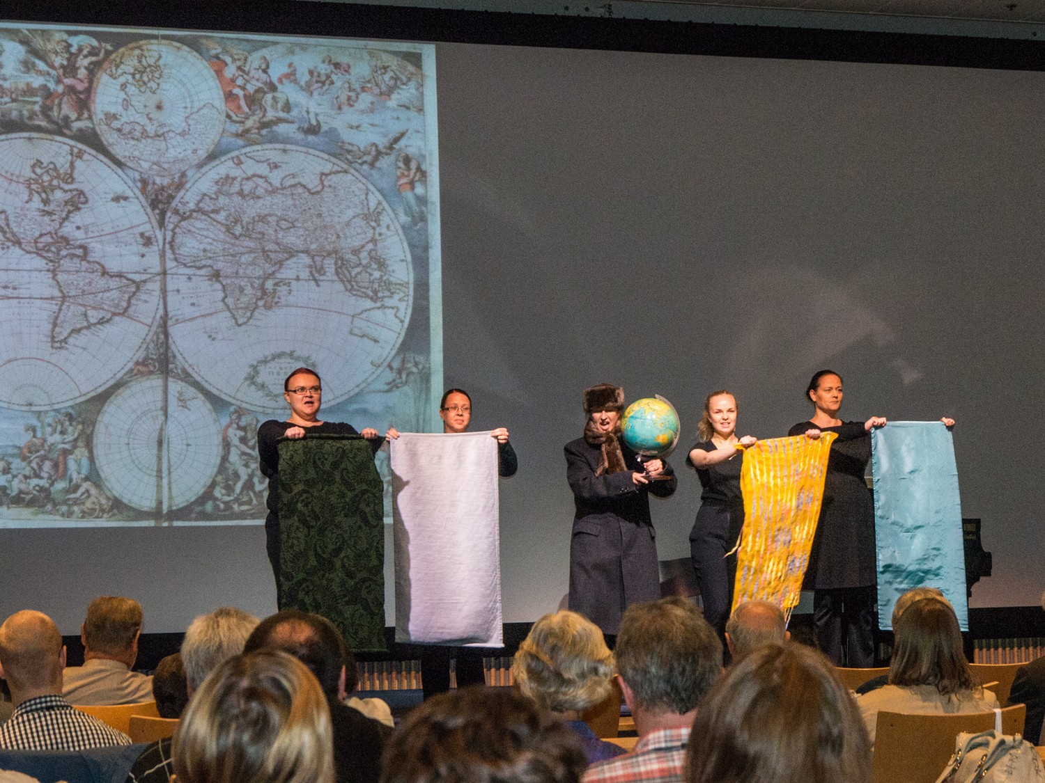
![]() The opening ceremony was held on Sunday 30 June and included welcome addresses by Antti Jakobsson, Chair of the ICHC 2013 organizing committee, and by Tony Campbell, Chairman of the Imago Mundi Ltd., followed by a keynote by Professor Paul D.A. Harvey, “The 25th ICHC”. Musical interludes were by Kaija and Timo Nuoranne & group and a video performance by Kardemimmit Kantele and Antti Jakobsson Mobile phone.
The opening ceremony was held on Sunday 30 June and included welcome addresses by Antti Jakobsson, Chair of the ICHC 2013 organizing committee, and by Tony Campbell, Chairman of the Imago Mundi Ltd., followed by a keynote by Professor Paul D.A. Harvey, “The 25th ICHC”. Musical interludes were by Kaija and Timo Nuoranne & group and a video performance by Kardemimmit Kantele and Antti Jakobsson Mobile phone.
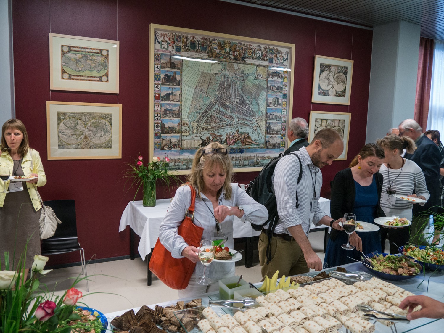
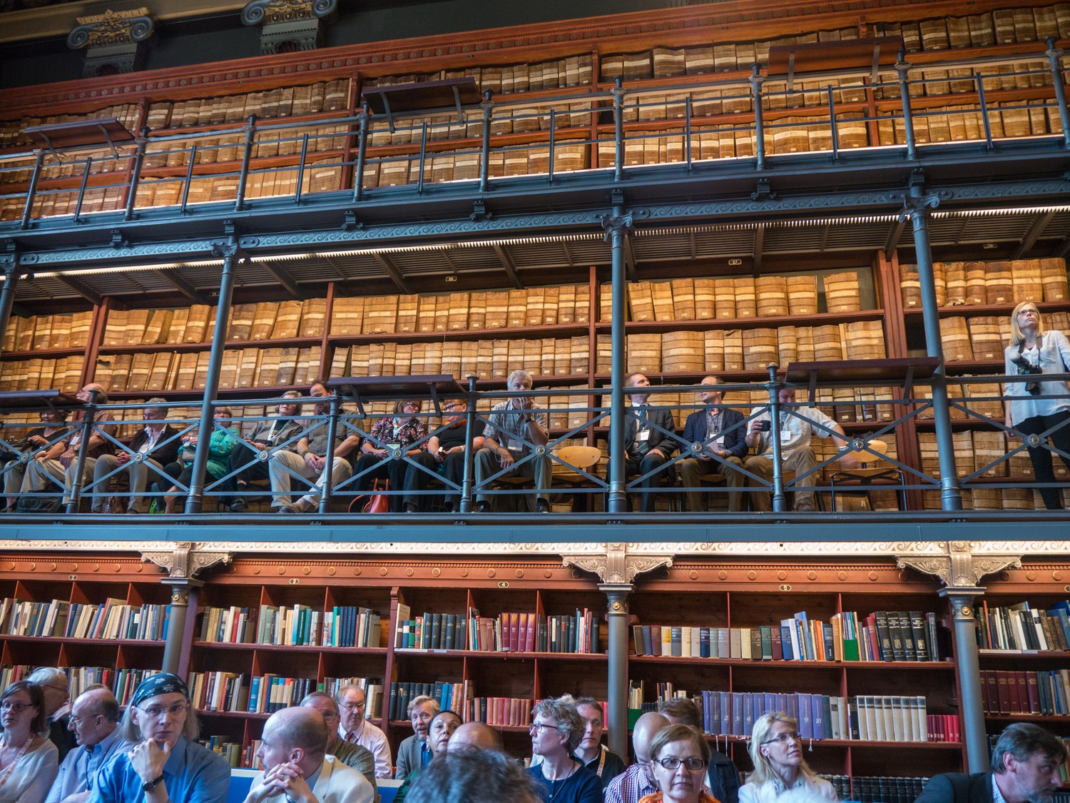
Receptions were held at the National Museum, the town hall, the John Nurminnen Foundation, the National Archives of Finland.
On Wednesday a movie about copper engraving by Rainer Kalnbach, Mein lieber Freund und Kupferstecher, was shown.
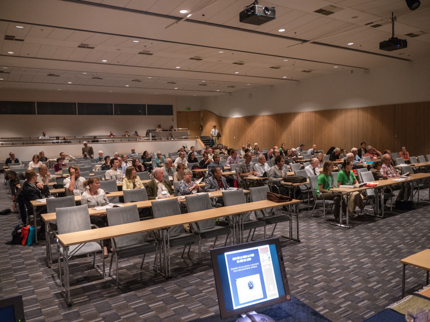
The conference was held in the Marina Congress Centre. The main coordinator was Antti Jakobsson.
A total of 181 people attended the conference.
Pre-conference meetings on Saturday 29 June were the Meeting of the International Society of Curators of Early Maps (ISCEM) and the Meeting of the ICA Commission on the Historyb of Cartography and on Sunday 30 June the Annual General Meeting of the International Society for the History of the Map (ISHMap).
open meeting, everybody welcome.
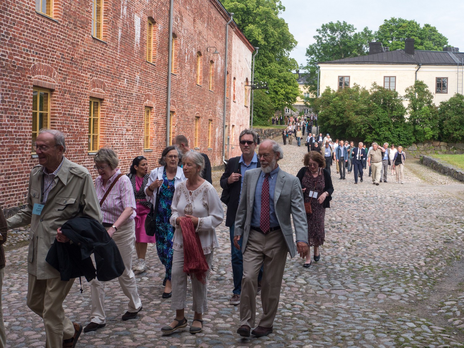
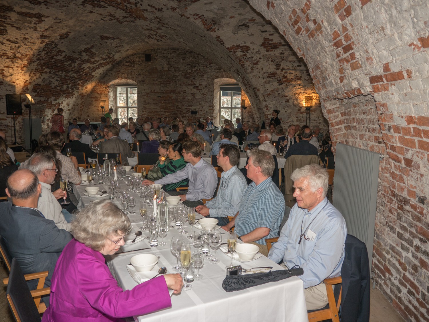
The farewell dinner was at Suomenlinna.
The following exhibitions were held:
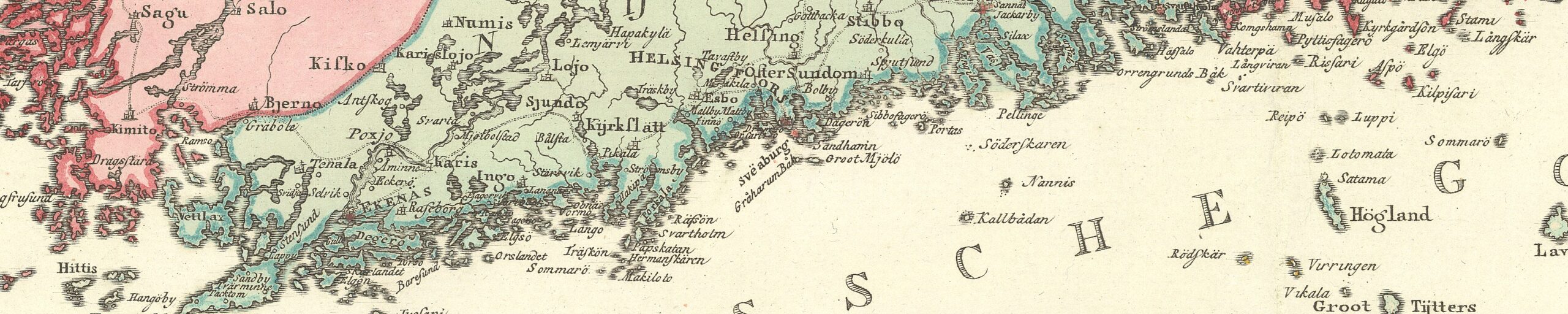
- The emerging world – map treasures from the A. E. Nordenskiöld collection at the National Museum of Finland (website through Webarchive).
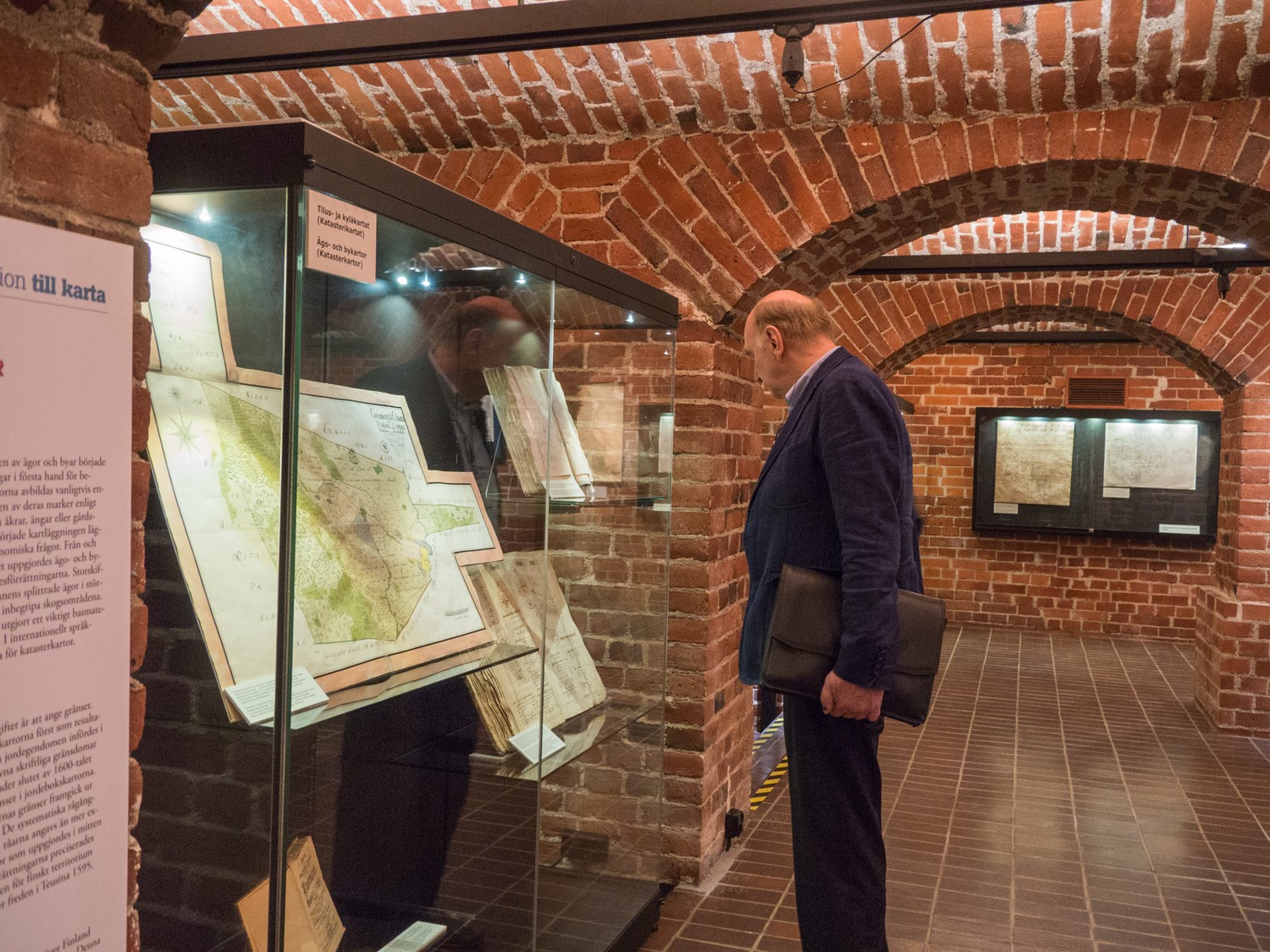
- From Observation to Map – the History of Cartography and Surveying in Finland. exhibition at the National Archives of Finland (website through Webarchive).
- Exhibition of maps at the John Nurminen Foundation.
- Helsinki Maps exhibition on how the city has been presented on maps throughout different centuries at Laituri (website through Webarchive).
The Four Elements – the Essentials of the History of Cartography
The 25th International Conference on the History of Cartography is organized under the heading “The Four Elements”. Inspiration was derived from the antique symbolism found in many old maps. The four elements in classical antiquity were believed to reflect the building blocks from which the universe was constructed. As the main theme, Earth, Air, Fire and Water symbolize the essential elements in the history of cartography and the importance of cartography in the representation of nature and our understanding of the world.
Earth brings together measuring and mapping of lands and urban areas as well as routes, including travel maps of all ages. One of the sub-themes discusses coordinate systems and projections since Ptolemy. The sub-themes are:
- Urban mapping.
- Land surveying and land survey maps.
- National mapping and national atlases.
- Maps for travel, traffic, and communication networks.
- Grids, coordinates, and projections
Air emphasizes the theoretical and conceptual aspects of cartography. It also deals with thematic mapping and aesthetic questions. The sub-themes are:
- Theoretical and conceptual approaches to the histories of mapmaking.
- Thematic mapping, map symbols and representation.
- Toponymy.
- Aesthetics in cartography.
- Celestial mapping
Fire represents the themes of war, religion and mythical elements. One sub-theme invites researchers to discuss the ‘fire’ and enthusiasm of collectors. The sub-themes are:
- War maps and fortresses.
- Religion in cartography.
- Mythical and imaginary places in maps.
- Map collecting and prominent collections.
- Marketing, distribution and use of maps
Water covers over 70 per cent of the Earth’s area, and oceanic routes to unknown lands and continents have been searched and mapped by all cultures. Water deals with the mapping of water systems and waterways of all forms, ranging from large scale maps of lakes, rivers, channels, rapids and inland waterways to regional and global levels. The sub-themes are:
- Mapping of inland waters.
- Coastal maps and charts.
- Mapping of seas and oceans.
- World maps and atlases
The additional sub-theme is:
- Any other aspects of the history of cartography
 Papers
Session 1: Coastal maps and charts. Chair: Alexey Postnikov
- Mikko Huhtamies (FI). Coastal maps and charts of the 18th century Finnish Gulf: navigation, archipelago warfare and maritime infrastructure.
- Josip Faričić, LenaMirošević & Damir Magaš (HR). Carta di cabottaggio del Mare Adriatico (1822-1824) as a turning point in the development of Adriatic maritime cartography.
- Júnia Ferreira Furtado (BR). The island that arouse from the sea: Jean Baptiste Bourguignon D’Anville, the Portuguese Açores islands and the Vulcans.
Session 2: Urban mapping. Chair: Nick Millea
- Nils Ahlberg (SE). Town planning and urban mapping in the Swedish-Finnish kingdom in early modern times.
- Lucia Nuti (IT). The financing of an urban map: from a private to a public enterprise.
- Paul D. A. Harvey (GB). Local maps on medieval seals.
Session 3: Map use. Chair: Carme Montaner
- Pilar Chias Navarro & Tomás Abad (ES). Early 14th-century Spanish cartography: maps and views of Spanish Mediterranean towns and fortresses in the Middle Ages.
- Zsolt G. Török (HU). Secret but printed: 16th-century fortification atlases and the first Venetian city atlases.
- Sen-Hao Yang (TW).Mapping feng-shui and imaginary cartography: maps used for burial land disputes in northern Taiwan (1878-1895)
Session 4: Marketing, distribution and use of maps. Chair: Catherine Hofmann)>
- Catherine T. Dunlop (US). The woman who mapped the French Republic: Augustine Fouillée’s cartographic ‘Tour de France’.
- Ariel Tishby (IL). Xiélùsāléng – A Chinese map of Jerusalem “at the time of the incarnation of the Lord of Heaven” 1887.
- Göran Bäärnhielm (SE). Types of topographic representation in 17th-century German news cartography.
Session 5: National mapping and national atlases. Chair: Petra Svatek
- Olof Karsvall (SE). The Swedish land survey of hamlets and farms in the 17th century.
- Ivan Kordiš (SI). Peter Kozler, Zemljovid slovenske dežele in pokrajin (‘The map of the Slovenian land and regions’).
- Gilles S. Palsky (FR). The 1899 Atlas de Finlande: a model in questions
Session 6: Maps for travel, traffic, and communication networks. Chair: Tony Campbell
- Katariina Kosonen (FI). Mapping the nation for Finns and foreign visitors: maps of the Finnish Tourist Association and Finland-Travel, 1888-1938.
- James Akerman (US). American travellers’ map use and annotation in the 19th century.
- Elri Liebenberg (ZA). Thomas Baines’ exploratory cartography of the 19th-century Southern Africa.
Session 7: Map use and production 1. Chair: Peter Barber
- Rosa Orlandini (CA). Ethnicity cartography during World War II: Wilfried Krallert and the Volkstumskarte.
- Mario Cams (MO). The China maps of Jean-Baptiste Bourguignon d’Anville: provenance and production contexts.
- Monique Pelletier (FR). Maps for Louis XIV, War King.
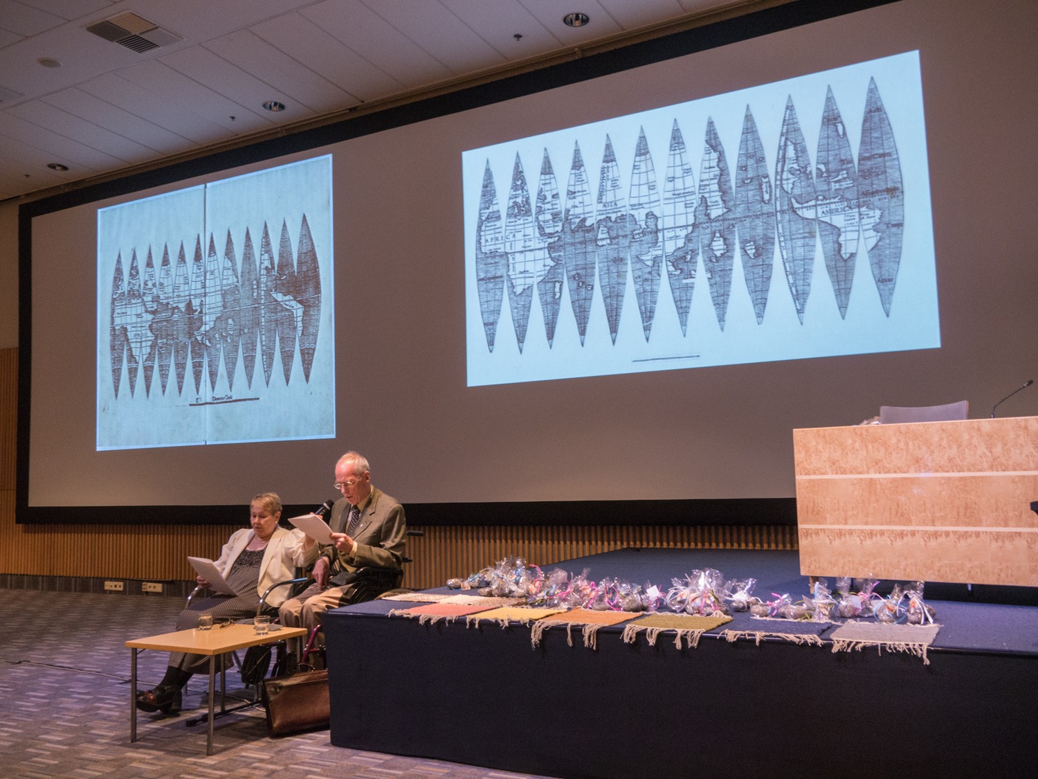
Session 8: Maps from the Nordenskiöld collection (Special session). Chair: Antti Jakobsson
- Martti Blåfield (FI) (invited speaker). Certain ideas of Adolf Erik Nordenskiöld seen through the eyes of the twenty-first century.
- Marjo T. Nurminen (FI). La Sfera – Cosmographia hybrid manuscript – a rare treasure of a book in the Nordenskiöld collection.
- Chet Van Duzer (US) The cartographer’s apprentices: Battista Agnese and a manuscript nautical chart in the Nordenskiöld collection.
Session 9: Symbols, signs and other elements of representation codes in East Asian maps (Special session). Chair: Vera Dorofeeva-Lichtmann)
- Ekaterina Simonova-Gudzenko (RU). Sino-Korean atlases: representation of Japan.
- Fan Lin (NL). Mutually constitutive practices: cartography, geomancy diagram making and landscaping during the Song dynasty (960-1279).
- Martin Hofmann (DE). The depiction of unfeasible river courses on ancient Chinese maps.
Session 10: Theoretical and conceptual approaches to the histories of mapmaking. Chair: Francis Herbert
- Sebastián Díaz Ángel (CO). From ‘Aurea Regio’ to ‘Guldene Castillien’ (Golden Castille): golden myths, hydrographic secrecy and the Iberian-Netherlands tensions in the first printed maps of present-day Colombia, Panama and Venezuela (1584-1630).
- Jean-Marc Besse (FR). Earth, Wind and Fire: allegorical cartouches in 17th and 18th century cartography.
- Matthew H. Edney (US) The Transatlantic circulation of geographical maps before 1763.
Session 11: Thematic mapping, map symbols and representation. Chair: James Akerman
- Gillian Hutchinson (GB). The best of all possible charts? International sea chart standardization in the mid-20th century.
- Petra Svatek (AT). Civil aviation cartography in Austria 1908-1938.
- Mark Monmonier (US). Meteorologists as both makers and consumers of maps: contentious notions of progress and accuracy in twentieth-century cartography.
Session 12: Military Mapping. Chair: Göran Bäärnhielm
- Erkki-Sakari Harju (FI). Swedish military mapping in Finland 1776-1805.
- Maria Gussarson Wijk (SE). The Swedish Field Survey Corps and the Finnish war 1808-1809.
- Andreas Christoph (DE). The Topographisch-militärische Charte von Teutschland: curse or success of Friedrich Justin Bertuch’s ‘Geographical Institute’?
Session 13: Grids, coordinates, and projections. Chair: Peter van der Krogt
- Marina Rajaković, Ivka Kljajić & Miljenko Lapaine (HR). Map projection and accuracy of one Mercator’s map.
- Ruth Watson (AU). Humanist visions of a new world order: heart-shaped maps of the sixteenth century.
- Joaquim Alves Gaspar (PT). ‘Juan de la Cosa la hizo en año de 1500’: revisiting the old nautical planisphere with a new quantitative approach.
Session 14: Borders. Chair: Carla Lois
- Kimmo Katajala (FI). Borders and states on the early modern maps.
- Michael R.H.Jones & Venke Åsheim Olsen (NO): The cartographical and historical background for the demarcation of the Norwegian-Russian boundary in 1826.
- Madalina Valeria Veres (US). Mapping eastern and western Habsburg borders in the second half of the eighteenth century.
Session 15: Key themes in the history of nineteenth-century cartography (Special session). Chair: Roger Kain
- Imre Josef Demhardt (US). Absurd mistakes and blunders: the relevance of boundary making and surveying for the cartography of colonial Africa.
- Peter Collier (GB). The impact of developments in printing on topographic mapping in the 19th century.
- Carla Lois (AR). Map consumption and circulation in the nineteenth century.
Session 16: World maps and atlases. Chair: Edward Dahl
- Stefan Schröder (FI). ‘Transitional’ or ’transcultural’ maps? Latin mapmakers and Arabic knowledge in the first half of the 14th century.
- Peter Nekola (US). Rethinking the geographical atlas after 1919.
- Alastair William Pearson (GB). The Commission on the International Map of the World, 1949-52.
Session 17: Land surveying and land survey maps 1. Chair: Matthew Edney)
- Martijn Storms (NL). University land: landed property of Leiden University in maps and archives.
- Benjamin James Sacks (US). Surveyors in the socioeconomic planning of the British Empire: Simpson and Byres’ global journeys, 1763-1783.
- John Louis Cruickshank (GB?). Maps ‘for the needs of the people’s economy’: the civil topographic mapping of the USSR.
Session 18: Land surveying and land survey maps 2. Chair: Henrik Dupont
- Soetkin Vervust (BE). From cartography of conquest to cartographic cooperation: Cassini de Thury’s geodetic contribution to the Ferraris maps.
- Stig Roar Svenningsen & Andreas Aagaard Christensen (DK). Mapping the nation for war: representations of the landscape in Danish military cartography 1800-2000.
- Alexey V. Postnikov (RU). A history of the military topographic map of the Western border region of the Russian Empire on a scale of three versts to one inch (1:126 000).
Session 19: Map use and production 2. Chair: Evelyn Edson
- Leif Isaksen (GB). The Practical Prognosticator: on the use and abuse of Ptolemy’s Geography.
- Stella Chrysochoou (GR).The rebirth of antiquity in Byzantium: the construction of Ptolemaic maps by thirteenth-century Byzantine scholars without the use of ancient exemplars.
- Jan Strang (FI). The Bureus map of 1626 and its early editions: Bureus map and Finland.
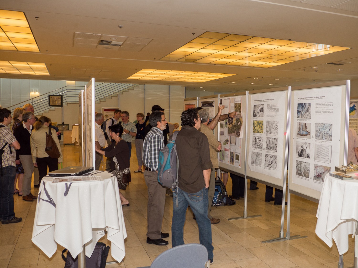
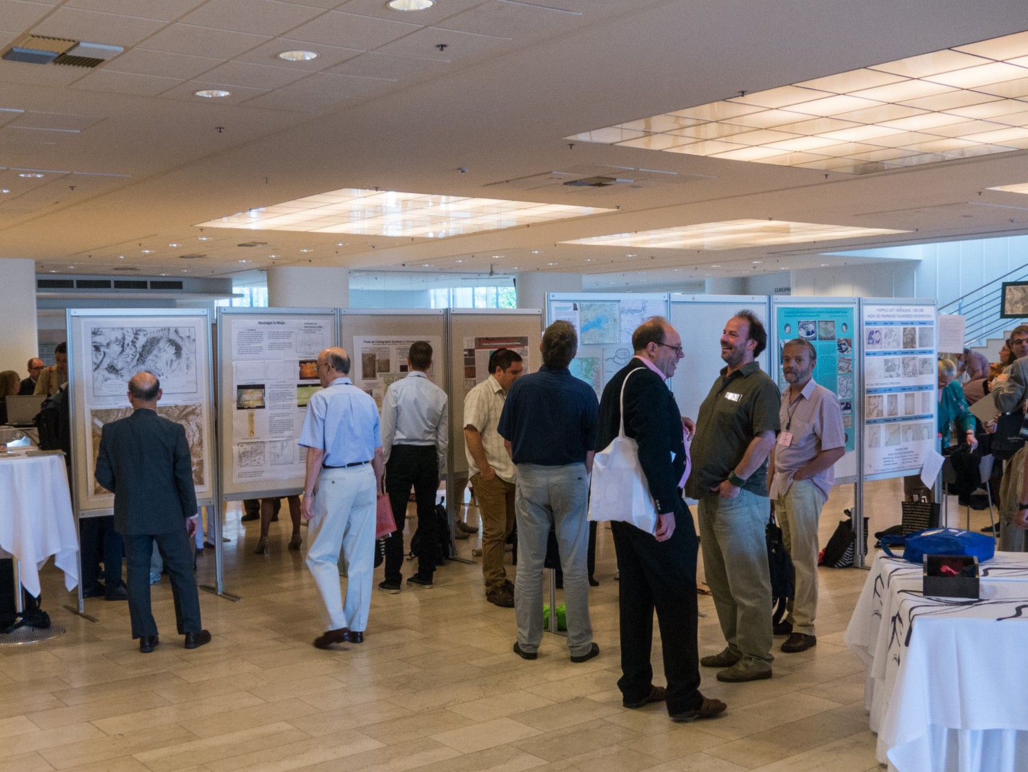
Poster Presentations
Theme: Urban mapping and land surveying
- Regine Gerhardt (DE). Daniel Frese: A Renaissance cartographer to be discovered.
- Joost Depuydt (BE). Puzzling 16th-century manuscript city maps of Antwerp (re)discovered.
- Carme Montaner & Luis Urteaga (ES). Making visible the new industrial and commercial cities: advertising maps in Spain in the 1880’s.
- Elien Vernackt & Bram Vannieuwenhuyze (BE). Marcus Gheeraerts’ Information System for Bruges (MAGIS Brugge): a dynamic knowledge platform for the history of Bruges
Theme: National mapping and national atlases
- Nataliya Vinogradova & Galina Korzunina (RU). Soviet Agitprop maps 1920s-1930s.
- Dariusz Brykala, Tomasz Strzyzewski, Lukasz Sarnowski & Anna Jánczak (PL). Spatial coverage and contents of the Charles Perthées’ special maps of Polish woivodeships from the end of the 18th century.
- Manoel Fernandes de Sousa Neto & João Carlos Garcia (PT): Portuguese and Brazilian maps at the Centennial Exhibition – Philadelphia, 1876.
- David Ramirez Palacios (CO). Vergara y Velasco’s woodcut Map and Atlas of Colombia (1906- 1910)
Theme: Thematic mapping, map symbols and representation
- Catherine Akeroyd (AU). Mapping and concealing the unknown: visual strategies used to cover the Southern Continent.
- Ante Blaće (HR). North-eastern Adriatic forts in Vincenzo Maria Coronelli’s isolario Mari, golfi, isole, spiaggie, porti, citta….
- Alexei Sobisevich (RU). The map of Olonets uyezd (1728) made by Akim Kleshnin as the source of social and economic information.
- Madlena Cavelti & Hans-Uli Feldmann (CH). Glacier representation on maps of the Alpine Countries.
Theme: Map collecting and prominent collections
- Paola Sereno, Paola Pressenda & Maria Luisa Sturani (IT). Books and maps’ collecting for the king: cartography in the building of the House of Savoy’s Library and Wunderkammer (16th -18th centuries).
- Liudmila Zinchuk (RU). Collections of the 18th -century Russian maps in the Russian State Library
Theme: Mapping coastal areas, seas, oceans and inland waters
- Henrik Dupont (DK) Mapping East Greenland.
- Lucyna Szaniawska (PL). Comparing the sea and ocean areas displayed in Ptolemy’s Geographia in editions of Nicolaus Germanus (ca 1467) and of Gerard Mercator (1578).
- Ewa Szynkiewicz & Anna Osowska (PL). Unknown old portolan chart of Europe.
- Edwin Okhuizen (NL). Abraham Maas: a mysterious Dutch cartographer in St Petersburg and his forgotten MS charts of the Gulf of Finland (1725-1734).
- Concepción Camarero-Bullón, María-Jesús Vidal-Domínguez & Amparo Ferrer-Rodríguez (ES). Water in the non-technical cartography of Spanish dry areas in the 18th century
 Theme: World maps and atlases
 - Alexander Vasiljevich Podossinov (RU). Newly-found Byzantine world map of the 15th century.
- Frederik Muller (NL). Two manuscript tabulae modernae, designed for the 1525 Ptolemy.
- Patricia Seed (US). Mercator’s projection compared: a study of four originals.
- Gilsun Oh (KR). Redrawing of KunyuWanguoQuantu (Complete geographical map of all the kingdoms of the world) by using computer
Theme: Mapping Asia
- David Forrest & Alastair Pearson (GB). 1:1 million scale mapping of India and the International Map of the World.
- Chuan-Hui Mau (TW). Mapping the south-western region of China.
- Vera Dorofeeva-Lichtmann (FR). Trees as cartographic symbols: from Fangmatan wooden maps (3rd century BC) through to maps of the Chinese Empire from the Song dynasty (960-1279) onwards.
- Koji Hasegawa (JP). Nostalgia in maps.
Reports
Imago Mundi 66,1 (2014), 105-109 (Catherine T. Dunlop)