17th International Conference on the History of Cartography
17.o Congresso Internacional de História da Cartografia
6-10 July 1997 — Lisboa
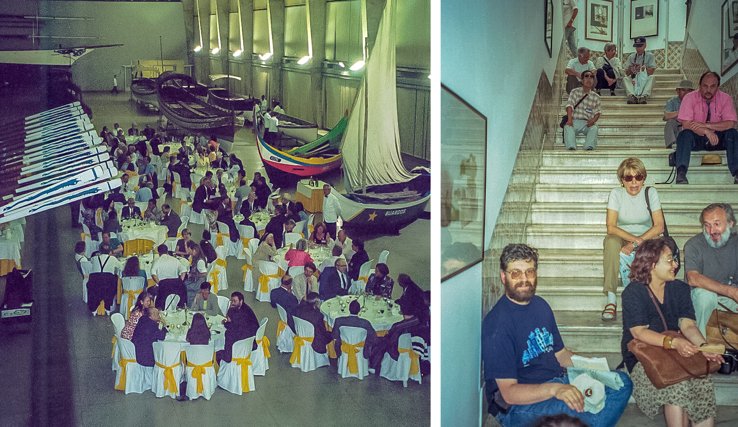
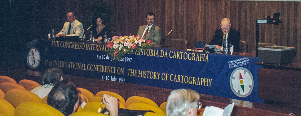
 Held in the auditorium of the Instituto dos Arquivos Nacionals, Torre do Tombo, in the grounds of the University of Lisbon, and organized by the Comissão Nacional para as Comemorações dos Descobrimentos Portugueses (CNCDP). Chairman of the organising committee was Joaquim Romero Magalhães. Attendance was 194. Conference languages English, French and Portuguese.
Thematic sessions were on “Sixteenth Century Military Cartography”, “Cartography of India”, “Cartography of the Indian Ocean”, “Cartography and Diplomacy”, “Art and Cartographic Representation”, “Official Mapping of the Nineteenth and Twentieth Centuries”, “The Cartography of Deserts, Mountains and Roads”, “The Cartography of Water Features”, “Cartography: the Moral and Social Dimensions”, “The Medieval World and Paradise”, and “Map-Making”
There were six exhibitions, for each of which was published a full-color catalog:
- “Treasures of Portuguese Cartography”, in the Instituto dos Arquivos Nacionais/Torre do Tombo.
- “Macao: the City and the Port”, at the Mosteiro dos Jerónimos.
- “Cartography and Diplomacy in the Brazil of the XVIII Century”, in the Cordoaria Nacional.
- “The Frontiers of Africa”, in the Cordoaria Nacional.
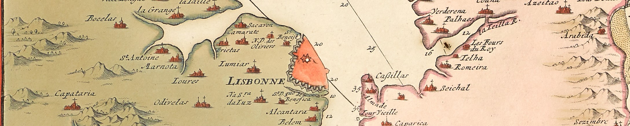
- “Cartography of Lisbon, XVII to XX Century”, in the Museu da Cidade.
- “Places and Regions in Old Maps”, in the Biblioteca Pública e Arquivo Distrital de Évora.
On 5 July there were two pre-conference meetings: the ISCEM meeting and the ICA Symposium on “Teaching the History of Cartography”. On Tuesday there was a special session on the theory in the history of cartography, with papers by Edson, Shirley, and Schulten.
Excursions were an evening trip on the River Tagus with dinner on board and a day-tour to Évora. The farewell dinner was at the Galeotas Pavilion, Maritime Museum.
There were 42 regular papers and 3 papers in the theory session, and 12 poster presentations, and there was an accompanying abstracts book, which also includes substantial curricula vitae for all speakers and poster presenters.
Papers 17th ICHC
- Akerman, James R. Maps for good roads: the cartography of the League of American Wheelmen and the National Highways Association.
- Alkhoven, Patricia. Art and architectual aspects of the Atlas Van der Hagen: a multi-disciplinary approach.
- Almeida, André Ferrand de. Os Padres matemáticos e a cartografia do Brasil na primeira metade do século XVIII.
- Barber, Peter. Plats, paintings and policy.
- Bendal, Sarah. Mapping and displaying an English marshland landscape in the seventeenth and eighteenth centuries.
- Bianchin, Alberta. La représentation cartographique de la montagne.
- Bremner, R.W. Mapping in Portugal by French Royalists in the British Army (1800-1801).
- Brink, Paul van den. Management and maintenance of river landscapes: the origin and development of the printed rivermap in the Netherlands 1700-1800.
- Cain, Mead T. “… In bondman’s key with bated breath and whispering humbleness…”: James Wyld and the society for the Diffusion of Useful Knowledge.
- Camino, Mercedes M. Narratives of dis-placement: urban visions of the Spanish Baroque.
- Cook, Andrew S. East India Company sources for Alexander Dalrymple’s 1787 chart of the Indian Ocean.
- Csaplovics, Elmar. The cartography of the River Niger from the fourteenth to the early nineteenth century: map-makings as a mirror of socio-cultural and socio-economic transitions in the West African Sahel.
- Curvelo Campos, Alexandra. Fontes literárias e pictórias da representação do Oriente na cartografia portuguesa do século XVI.
- Daveau, Suzanne. As “Vistas Litorais” do Esmeraldo de Situ Orbis.
- Deák, Antal András. How maps helped to establish the borders after the treaty of Karlowitz (Karlócza) in 1699.
- DeRogatis, Amy. Moral surveys: religion, power and spatial order on the American Frontier.
- Dias, Maria Helena, and Maria Fernanda Alegria. As primeiras séries cartográficas portuguesas e a institucionalização da cartografia no século XIX.
- Edson, Evelyn. Place is more than location.
- Ferreira, Mário Olímpio Clemente. A cartografia ao serviço da diplomacia: o “Mapa das Cortes” e o “Tratado de Madrid” (1750).
- Fiorani, Francesca. Maps, politics, and the Grand Duke of Florence: the “Sala della Guardaroba Nuova” of Cosimo I de’ Medici.
- Fischer, Karl. Hirschvogel’s plan of Vienna, his methods and the purpose of his instruments.
- Fletcher, David. The Ordnance Survey’s Doomsday of public boundaries.
- Galeria, Montserrat. Some news about the art of war: views of cities and general panoramas by Anton van den Wijngaerde.
- Gogate, Prasad P. Area maps in Maratha cartography: a study in native Indian maps of the seventeenth and eighteenth centuries.
- Harvey, P.D.A. The twelfth-century Jerome maps of Asia and Palestine.
- Klinghammer, István. Pál Teleki (1879-1941): a politician, diplomat and mapmaker from Hungary.
- Liebenberg, Elri. The role of the compilation map in British South Africa.
- Lima Martins, Luciana de. Navigating in tropical waters: British maritime views of Rio de Janeiro (1800-1850).
- Milheiro, Nuno. O Oriente na cartografia portuguesa do século XVI, de Lopo Homem/Reineis a Fernão Vaz Dourado: significados e significantes da representação.
- Pedley, Mary. Map Wars: Anglo-French conflict in North America 1750-1780.
- Postnikov, Alexei V. Cartography and the determination of boundaries on the central Asian Pamir region in the eighteenth and nineteenth centuries.
- Rajšp, Vincenc. Unpublished maps of the territory of Slovenia, used for diplomatic purposes from the sixteenth to the end of the eighteenth centuries.
- Rákóczi, István, and João Carlos Garcia. A cartografia do Maranhão no século XVIII: o contributo científico e técnico da Europa Central.
- Reinhartz, Dennis. The “Silence” of maps in the historical cartography of deserts.
- Reitinger, Franz. Marriage as cartographic enterprise.
- Relaño, Francesco. Paradis en Afrique: évidence cartographique et explication cosmographique de cette localisation.
- Richardson, W.A.R. Indian Ocean Features on maps by Heinrich Bunting, Benito Arias Montano and Manuel Godinho de Erédia.
- Rickenbach, Alexis. “L’épée, la carte et la plume”: les plans des places françaises de l’Inde au XVIIe et XVIIIe siècles.
- Scafi, Alessandro. Found and lost: Paradise on world maps c. 1500.
- Scharfe, Wolfgang. Franz Ludwig Güssefeld (1744-1808): a Prussian cartographer promoting cartographic enterprises in Nuremberg and Weimar.
- Schulten, Susan. The revolutionary cartography of Richard Edes Harrison.
- Schwarz, Henry. Mapping the Empire: James Rennell’s Bengal Atlas.
- Shirley, Rodney. The eye of the cartographer: atlas titlepages and frontispieces.
- Watelet, Marcel. Production cartographique et enjeux diplomatiques: le problème des routes et de la frontière entre les Pays-Bas autrichiens et la France (1769-1779).
- Zalewska, Katarzyna. Types of illustration on Portuguese maps of the world from the first half of the sixteenth century.

Poster Presentations 17th ICHC
- Chang, Stephen Tseng-hsin. The Portuguese maritime discoveries along the south-east coast of China during the first half of the sixteenth century: a cartographic view, 1513-1550.
- Feldmann, Hans-Uli. Gerhard Mercator’s wall map of Europe, 1572.
- Galera, Montserrat. Courses on history of cartography organised by the Institut Cartogràfic de Catalunya and the Department of Geography of the Universitat Autònoma de Barcelona.
- Gercsák, Gábor. Atlas of Central Europe: an atlas prepared for the peace talks after World War II.
- Grim, Ronald E. Celebrating the Portuguese communities in America: a cartographic perspective.
- Hasegawa, Koji. Maps and disaster.
- Heinz, Markus. The Homann system of atlas publication.
- Komedchikov, Nikolay N. Jubilee year of the Russian cartography.
- Moreschi, Emanuela Casti. L’ailleurs dans la cartographie coloniale italienne de la Somalie.
- Schilder, Günter, and Peter van der Krogt. Explokart: Utrecht research program in the history of cartography.
- Unno, Kazutaka. General phenomena in the history of cartography.
- Wolodtschénko, Alexander. The dating of prehistoric and early historic maps: problems and solutions.
References
Imago Mundi, 50(1998), 189-192 (Edson)