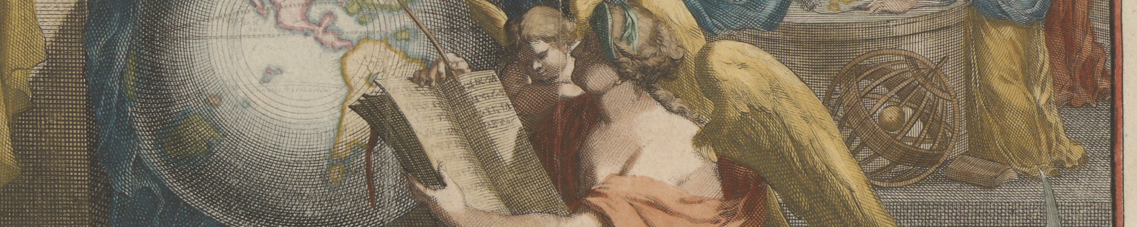
Description de l’Univers, vol. 1 (Amsterdam: François Halma, 1700) (Allard Pierson, Van Loon [U-03a])
Dissertaties
Theses
Sinds 1981 zijn er een aantal promotie-onderzoeken verricht onder auspiciën van Explokart, of waarbij deelnemers aan Explokart betrokken waren.
Since 1981, a number of doctoral studies have been carried out under the auspices of Explokart, or in which Explokart participants were involved.
Datum/UniversiteitDate/University |
NaamName |
Titel van de dissertatie en uitgavegegevensTitle of Dissertation and Publication Details |
(Co)Promotor(es)Supervisor(s) |
|---|---|---|---|
| 2025-… | Martijn Storms | De verzamelstrategieën van Bodel Nijenhuis. De kaartcollectie van een negentiende-eeuwse verzamelaar | Van Groesen & Vannieuwenhuyze |
| 2020-2027 | Anne-Rieke van Schaik |
Navigating through Narratives: Cartographic Storytelling in the Early Modern Low Countries (ca. 1550-1750) | Vannieuwenhuyze & Kolfin |
| 2020-2027 | Marissa Griffioen | Map Encounters in the Early Modern Low Countries | Vannieuwenhuyze & Van Netten |
| 2-9-2022 Utrecht |
Peter van Druenen | Meten en tellen. Stedelijke inwonertallen in de Lage Landen: een alternatieve benadering Commercial publication: Meten en tellen: Stedelijke inwonertallen in de Lage Landen: een nieuwe benadering, Amsterdam: Amsterdam University Press, 2022. |
Van Dixhoorn, Vannieuwenhuyze |
| 3-3-2014 Utrecht |
Roel Nicolai | A critical review of the hypothesis of a medieval origin for portolan charts. Houten: Educatieve Media, 2014. – 483 p. Open access Nederlandse samenvatting |
Hogendijk, Van der Krogt & Wepster |
| 16-2-2011 Passau |
George Carhart | Frederick de Wit and the first ‘Concise Reference Atlas’: A reexamination of the Amsterdam map, print and art seller’s life, work and contribution to the distribution of cartographic knowledge during the second half of the 17th and early 18th centuries. Commercial publication: Frederick de Wit and the first concise reference atlas. Explokart Historisch-Cartografische Studies; 16. Leiden: Brill, 2016. 589 blz.: ill. Nederlandse samenvatting |
Frenz & Van der Krogt |
| 20-2-2009 Utrecht |
Marcel van den Broecke | Ortelius’ Theatrum Orbis Terrarum (1570-1641): Characteristics and development of a sample of on verso map texts. Nederlandse Geografische Studies 380. Utrecht: KNAG/Faculteit Geowetenschappen, 2009. – 304 p. + cd-rom. Open access Nederlandse samenvatting |
Orbán, Van Gemert & Van der Krogt |
| 27-6-2008 Utrecht |
Elger Heere | GIS voor historisch landschapsonderzoek: Opzet en gebruik van een historisch GIS voor prekadastrale kaarten. Nederlandse Geografische Studies 375. Utrecht: KNAG/Faculteit Geowetenschappen, 2008. – 231 p. + cd-rom. Open access English Summary |
Ormeling & Vervloet |
| 21-11-2006 Utrecht |
Piet Broeders | Gijsbert Franco Baron von Derfelden van Hinderstein, 1783-1857: Leven en werk van ‘eene ware specialiteit’ in kaart gebracht. (Explokart Historisch-Cartografische Studies; 5). ’t Goy-Houten : HES & De Graaf Publishers bv, 2006. – 540 p. + cd-rom. English Summary |
Schilder & Ormeling |
| 31-5-2005 Utrecht |
Marco van Egmond | Covens & Mortier: Productie, organisatie en ontwikkeling van een commercieel-kartografisch uitgevershuis in Amsterdam (1685-1866). ’t Goy-Houten : HES & De Graaf Publishers bv, 2005. – 427 p. + cd-rom. English Summary Commercial publication: Covens & Mortier: A Map Publishing House in Amsterdam, 1685-1866. (Explokart Historisch-Cartografische Studies; 8). ’t Goy-Houten: HES & De Graaf, 2009. – 600 blz. + CD-Rom – ISBN 978-90-6194-220-7. |
Schilder |
| 22-3-2001 Nijmegen |
Erlend de Groot | De Atlas Blaeu-Van der Hem. De verzamelde wereld van een 17de-eeuwse liefhebber. ’t Goy-Houten : HES & De Graaf Publishers bv, 2001. XVIII, 402, [16] p. pl. | Aikema & Schilder |
| 29-5-1998 Utrecht |
Paul van den Brink | ‘In een opslag van het oog’: De Hollandse rivierkartografie en waterstaatszorg in opkomst, 1725-1754 Alphen aan den Rijn : Canaletto/Repro Holland, 1998. – 293 p. English Summary |
Schilder |
| 7-4-1989 Utrecht |
Frans Scholten | Militaire topografische kaarten en stadsplattegronden van Nederland, 1579-1795 Alphen aan den Rijn : Canaletto, 1989. – [2], 248 p. English Summary |
Schilder |
| 17-2-1989 Utrecht |
Peter van der Krogt | Globi Neerlandici: De globeproduktie in de Nederlanden Utrecht : HES Uitgevers, 1989. – xiv, 415 p., 16 bl.pl. English Summary Commercial edition: Globi Neerlandici: The production of globes in the Low Countries. Utrecht: HES Publishers, 1993. 647 pp. |
Schilder |
| 9-9-1983 Utrecht |
Justus Wekker | Historie, technieken en maatschappelijke achtergronden der karteringswerkzaamheden in Suriname sinds 1667 Delft : Rijkscommissie voor Geodesie, 1983. – xliv, 144 p., 10 p. bijlagen, 19 p. pl., 18 p. indexes. English summary – Open access |
Koeman & Schilder |
PRE-EXPLOKART |
|||
| 31-10-1981 Utrecht |
Marijke Donkersloot-de Vrij | Topografische kaarten van Nederland vóór 1750 Handgetekende en gedrukte kaarten – aanwezig in de Nederlandse rijksarchieven Groningen : Wolters-Noordhoff [etc.], 1981. – 223 p., [72] p. pl., [4] bl. pl. |
Koeman & Heslinga |
| 18-12-1961 Utrecht |
Cornelis Koeman | Collections of Maps and Atlases in the Netherlands Their History and Present State Leiden: Brill, 1961. – x, 201 p. (Imago Mundi ; suppl. 3). Review by G.R. Crone in English |
Zonneveld |