Maps in Context
Maps in Context
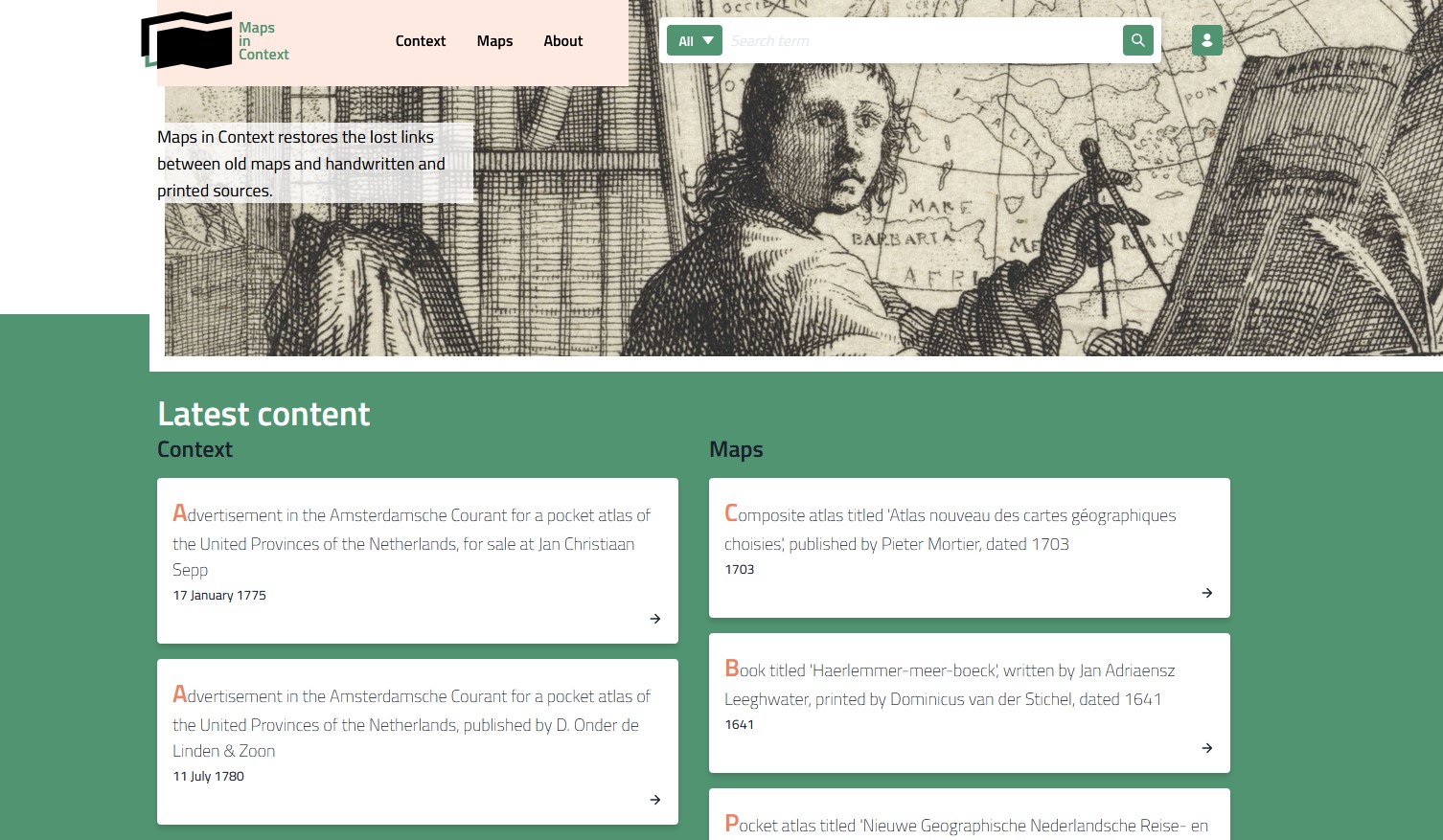
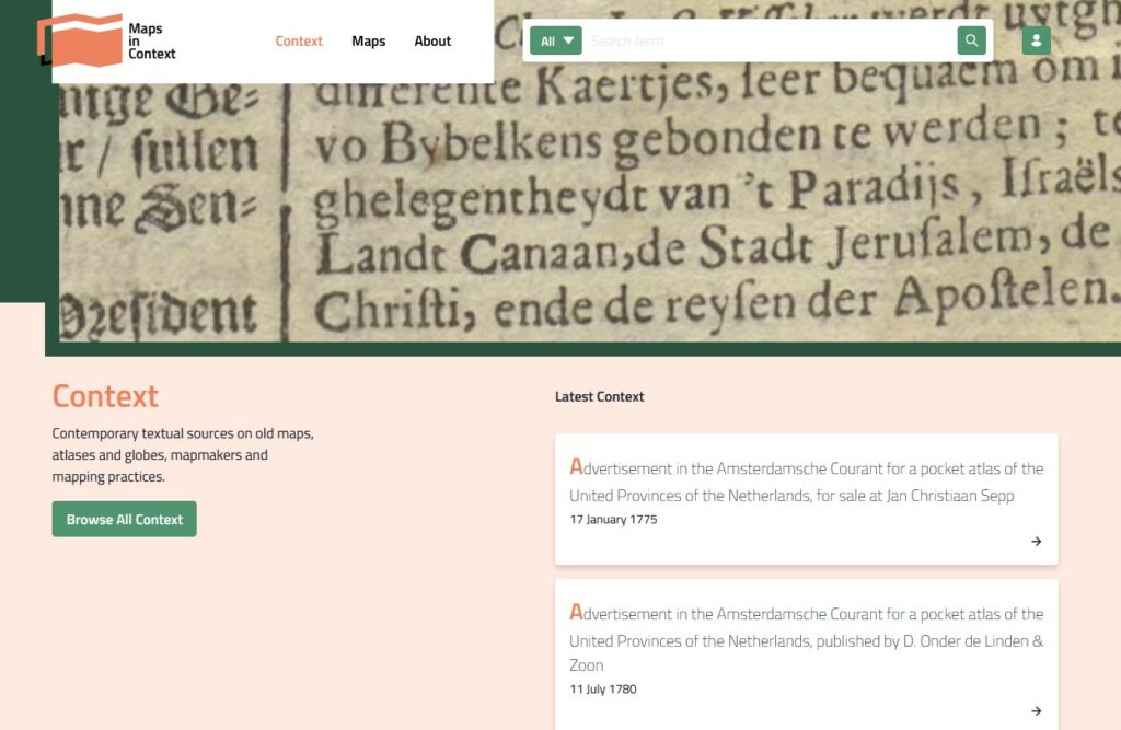
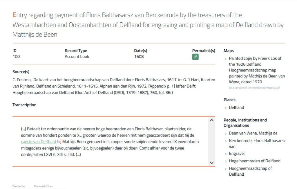
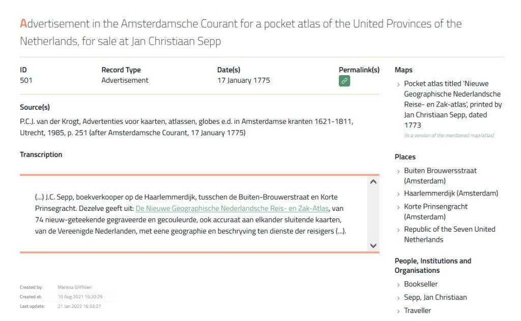
Maps in Context is een project opgezet in het kader van de leerstoel Historische Cartografie dat de verloren gegane verbanden tussen oude kaarten en handgeschreven en gedrukte teksten tracht te herstellen. Het uitgangspunt van dit project is de problematische contextualisering van talloze oude kaarten, atlassen en globes. Deze worden doorgaans bewaard in afzonderlijke kaartencollecties van bibliotheken, archieven, musea of zijn in particuliere handen. Tekstuele bronnen die context bieden bij een kaart zitten daarentegen ‘verborgen’ in archieven of zijn te vinden in drukwerk dat niet bij de kaart wordt bewaard. Denk bijvoorbeeld aan rekeningen, veilingcatalogi, brieven of advertenties. Vaak zijn de verbanden tussen kaart en context verloren gegaan omdat kaarten uit het archief zijn gehaald en in aparte collecties zijn samengebracht of zijn verkocht. Daarom ondervinden onderzoekers en kaartbeheerder veel moeite om de context waarin oude kaarten zijn ontstaan, gebruikt en bewaard te reconstrueren.
Het Maps in Context-project wil de verbanden tussen oude kaarten en contextuele informatie herstellen en ontsluiten via een doorzoekbare webdatabank. Het resultaat is een platform waarop onderzoekers, conservatoren, vrijetijdshistorici en verzamelaars veel efficiënter informatie over oude kaarten kunnen opsporen en gebruiken. De inrichting van de databank gebeurt via twee sporen: enerzijds de invoer van contemporaine (uitgegeven of onuitgegeven, archivalische of gedrukte) gegevens over vroegere kaarten, kaartenmakers en karteerpraktijken, anderzijds de koppeling van die gegevens aan – de al dan niet bewaarde – oude kaarten. Gebruikers worden ook gevraagd om gegevens aan te leveren of te corrigeren. Die gegevens zullen ons onder meer in staat stellen om betere inzichten te verwerven in de dagelijkse praktijken inzake karteringen, kaartgebruik en cartografische geletterdheid in het verleden.
Het Maps in Context-project is eind 2018 opgestart door prof. dr. Bram Vannieuwenhuyze en in mei 2019 is een eerste werkbare versie van de databank opgeleverd. Deze is vervolgens getest met uiteenlopend tekst- en kaartmateriaal. In juli 2019 is het project gepresenteerd op de International Conference on the History of Cartography (ICHC) in Amsterdam. De databank is nu online te raadplegen via https://mapsincontext.nl/ en zal in de loop van 2022 op verschillende gelegenheden worden gepresenteerd, waaronder op de Jansoniuslezing in Amsterdam op vrijdag 8 april 2022. Het project wordt uitgevoerd door Bram Vannieuwenhuyze (project coördinator), Marissa Griffioen (projectmedewerker) en Anne-Rieke van Schaik (projectmedewerker).
Een bijdrage leveren
Lokale archieven bevatten een schat aan informatie die relevant is voor Maps in Context, maar uiteraard kunnen de projectmedewerkers deze gegevens over oude kaarten niet allemaal zelf opsporen. Daarom doen we een warme oproep aan lokale historici, heemkundigen en andere geïnteresseerden: alle primaire gegevens over cartografen, kaarten en karteerpraktijken uit historische bronnen (archieven, drukwerk) van vóór 1900 zijn welkom. Op die manier kan de webdatabank verder worden aangevuld. Tevens roepen we op om hiaten en eventuele fouten in de Maps in Context-webdatabank te signaleren.
Voor suggesties en vragen, neem contact op met Marissa Griffioen of Bram Vannieuwenhuyze.
Referenties
- Maps in Context: About
- B. Vannieuwenhuyze & M. Griffioen, met medewerking van I. Misschaert, ‘Maps in Context. Een webdatabank voor bronnen over oude kaarten en cartografen’, in: Belgisch Tijdschrift voor Filologie en Geschiedenis / Revue belge de Philologie et d’Histoire, no. 99 (2022) (forthcoming)
- M. Griffioen, ‘Bodel Nijenhuis’ kaarten in context: Onderzoek naar aantekeningen op kaarten uit de collectie van de Universiteitsbibliotheek Leiden’, in: Caert-Thresoor, 2020, 39, 2, pp. 11-18.
- M. Griffioen, ‘Bodel Nijenhuis’ kaarten in context. Onderzoek naar kaarten in de Universiteitsbibliotheek Leiden’, presentatie bij het Boekhistorisch Forum III, Antwerpen, 8 november 2019.
- B. Vannieuwenhuyze & M. Griffioen, ‘Maps in Context. A new online database linking textual records to old maps’, workshop bij de 28ste International Conferences for the History of Cartography, Amsterdam, 17 juli 2019.
‘Maps in Context’ is a project set up within the framework of the Explokart-Historical Cartography Chair at the University of Amsterdam. The project seeks to restore the lost links between old maps and their contemporary contexts. The starting point of this project is the problematic contextualisation of countless maps, atlases and globes. These are usually kept in separate collections in libraries, archives, museums, or are in private hands. On the other hand, textual sources that provide context for cartographic objects are ‘hidden’ in archives or in printed sources that are kept separate from the maps. These are, for example, invoices, auction catalogues, letters, accounts, advertisements or critical reviews. The links between a map and its context have often been lost because the maps have been removed from the archive and collected or solds in separate collections. That is why scholars and map curators have great difficulty reconstructing the context in which old maps were created, used and stored.
The ‘Maps in Context’ project aims to restore the links between old maps and contextual information and to make this data accessible via a searchable web database. Maps in Context is a platform on which scholars, curators, historians and collectors can find and use information about old maps much more efficiently. Data-entry takes place via two tracks. Firstly, with the entry of contemporary (published/unpublished; manuscript/printed) data on maps, map makers and mapping practices. Secondly, by linking this data to old maps, atlases and globes.
The project was started at the end of 2018 by Prof. Bram Vannieuwenhuyze. In May 2019, a first workable version of the database was delivered and tested with various data (texts and maps). In July 2019, the project was presented at the 28th International Conference on the History of Cartography (ICHC) in Amsterdam. Currently, the database can be consulted online (https://mapsincontext.nl/). The Maps in Context-project will be presented on several occasions in 2022, including the Jansonius lecture in Amsterdam on 8 April 2022. The project is carried out by Bram Vannieuwenhuyze (project coordinator), Marissa Griffioen (project assistant) and Anne-Rieke van Schaik (project assistant).
Contribute
Local archives contain important information relevant to the Maps in Context-project. Obviously, the project staff cannot collect and analyse these sources all by themselves. Please do not hesitate to contact the project team if you want to contribute or if you want to complete or correct specific data. We are looking for primary data on cartographers, maps and mapping practices from historical sources (manuscript records and printed sources) from before 1900 to further suplement the web database. This data will, among other things, enable us to gain better insight into the past daily practices of mapping, map use and cartographic literacy.
Please contact Marissa Griffioen or Bram Vannieuwenhuyze if you have any questions or suggestions.
References
- Maps in Context: About
- B. Vannieuwenhuyze & M. Griffioen, in cooperation with I. Misschaert, ‘Maps in Context. Een webdatabank voor bronnen over oude kaarten en cartografen’, in: Belgisch Tijdschrift voor Filologie en Geschiedenis / Revue belge de Philologie et d’Histoire, no. 99 (2022) (forthcoming)
- M. Griffioen, ‘Bodel Nijenhuis’ kaarten in context: Onderzoek naar aantekeningen op kaarten uit de collectie van de Universiteitsbibliotheek Leiden’, in: Caert-Thresoor, 2020, 39, 2, pp. 11-18.
- M. Griffioen, ‘Bodel Nijenhuis’ kaarten in context. Onderzoek naar kaarten in de Universiteitsbibliotheek Leiden’, paper at the Boekhistorisch Forum III, Antwerp, 8 November 2019.
- B. Vannieuwenhuyze & M. Griffioen, ‘Maps in Context. A new online database linking textual records to old maps’, workshop at the 28th International Conferences for the History of Cartography, Amsterdam, 17 July 2019.


