22nd International Conference on the History of Cartography
22. Internationale Konferenz zur Geschichte der Kartographie
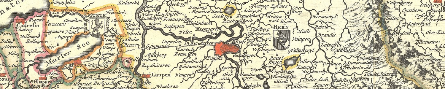
8-13 July 2007 — Bern
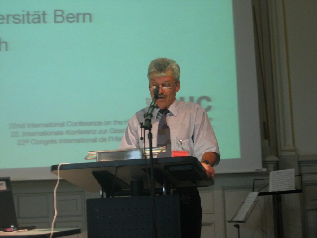
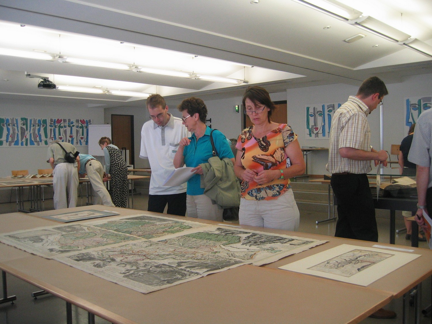
 The conference was held in the UniS building on Schanzeneckstrasse 1, Bern [46°57’0.82″ N,7°26’9.4″ E (WGS84), 599 ’795 /199 ’905 /560 (CH1903)] of the University of Berne. The main coordinator was Hans-Uli Feldmann. A total of 266 people attended the conference, with 34 accompanying persons, from 38 countries.
A total of 62 papers and 39 posters were presented. Biographical statements for each presenter in English, and abstracts of all papers in English, German and French were provided in a printed program.
The conference themes were:
- Mapping relief.
- Maps and tourism.
- Language and maps.
- Time as the cartographic fourth dimension.
- Any other aspect of the history of cartography.
Four exhibitions were prepared in conjunction with the conference:
- “Ferdinand Rudolf Hassler (1770–1843): Swiss pioneer for US surveying, mapping and standards” at the Bundesamt für Metrologie (Federal Office of Metrology), Wabern.
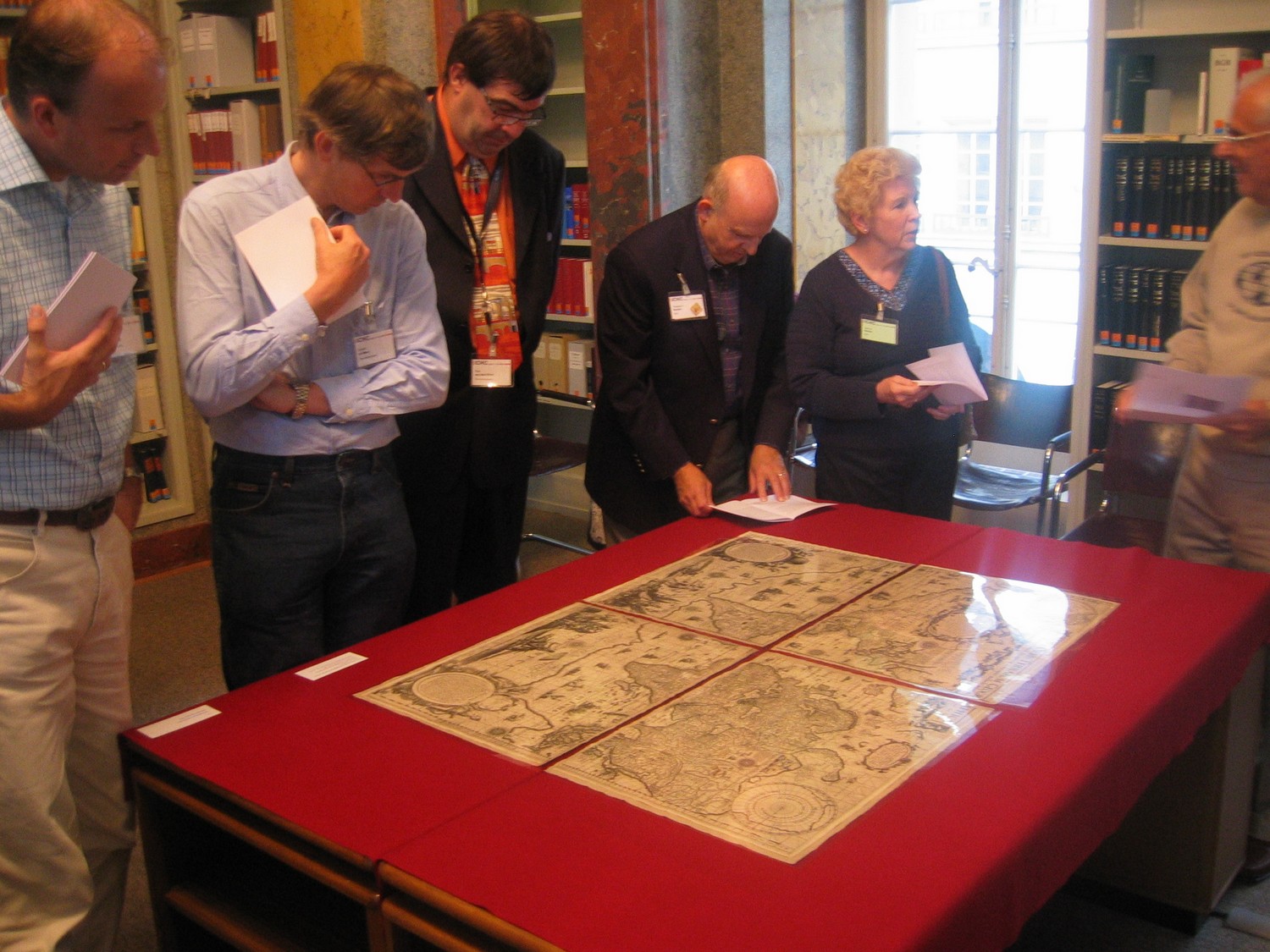
- “Cartography over the last 1200 years: treasures of the Burghers’ Library of Berne and the University Library of Berne” at the Burgerbibliothek Bern and Zentralbibliothek der Universitätsbibliothek Bern.
- “Building mountains: the art of relief models: on the trail of Xaver Imfeld” at the Swiss Alpine Museum.
- “The way to Berne: from Thomas Schoepf to Google Earth” at the State Archives of Bern.
On Saturday, July 7, the International Society of Curators of Early Maps and the the standing commission on the History of Cartography of the International Cartographic Association (ICA) held their meetings. The papers presented at this meetings are listed below.
On the conference website – still active 27 April 2007 – you’ll find int.al. the complete volume of abstracts.
Papers
Session 1: Mapping Switzerland. Chair: Lorenz Hurni
- Peter Barber (UK). From Geneva to the Rigi: British maps of, and guidebooks to, Switzerla.nd (1685–1904).
- Andreas Bürgi (CH). When the Europeans learned to fly: Franz Ludwig Pfyffer and his topographic model “Relief der Urschweiz”
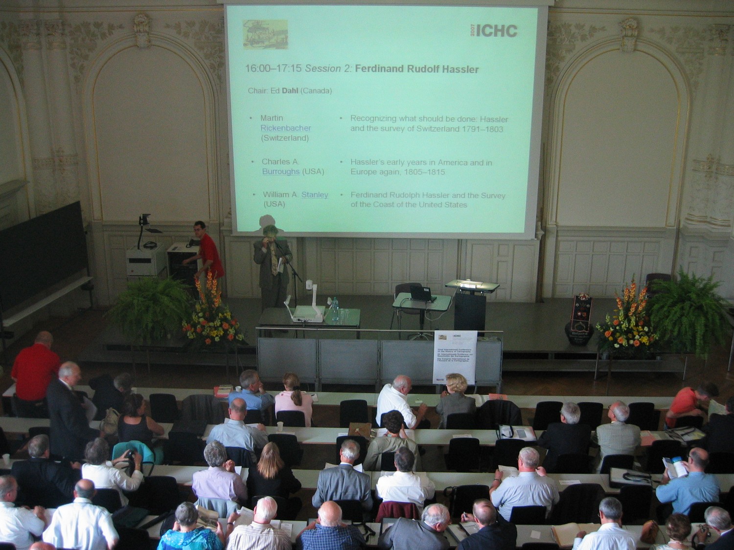
Session 2: Ferdinand Rudolf Hassler. Chair: Ed Dahl
- Martin Rickenbacher (CH). Recognizing what should be done: Hassler and the survey of Switzerland 1791–1803.
- Charles A. Burroughs (US). Hassler’s early years in America and in Europe again, 1805–1815.
- William A. Stanley (US). Ferdinand Rudolph Hassler and the Survey of the Coast of the United States
Session 3: Colonial cartography. Chair: Elri Liebenberg
- Christophe Collard (BE). Cartography of Belgian Congo (1908–1960).
- Ana Cristina Roque and Lívia Ferrão (PT). Mapping Mozambique coast in the 19th century.
- Ɖoàn Thį Thu Hương and Alexei Volkov (VN&TW): La cartographie au Viêtnam durant la période précoloniale et au début de la période coloniale.
- Marcus Buess and Guy Thomas (CH). Maps in the archives of the Basel Mission/mission 21: prospects of (re-)valorisation.
-
Session 4: School cartography. Chair: Ivan Kupčík
- Bernard Huber (CH). Les prémices d’une cartographie «de jeunesse» en Suisse romande (fin 17e siècle – début 19e siècle).
- René Tebel (AT). Traces of political influence in school atlases originating from German cultural background in the 19th and 20th centuries.
- Nikolay N. Komedchikov (RU). Rückblick auf die UdSSR-Kulturpolitik in Bezug auf die Schulkartographie der Jahre 1920 bis 1950: Schulkarten und -atlanten in der sprachlichen Vielfalt der Völker der UdSSR.
Session 5: Digital map analysis, Chair: Peter Mesenburg
- Joaquim Alves Gaspar (PT). Portuguese nautical charts of the 16th century: a new cartographic model.
- Angeliki Tsorlini (GR). The Thessaloniki project on Ptolemy’s “Geography”.
- Vassilios Tsioukas (GR). Low-cost application for the georeferencing of historical maps.
- Bernhard Jenny (CH). Planimetric analysis of historical maps with MapAnalyst.
Session 6: Military mapping. Chair: Nick Millea
- Zsolt Török (HU). With the eye of the Habsburg eagle: the Angielini atlases and the multiple representations of the Habsburg-Ottoman frontier in the late 16th century.
- Catherine Bousquet-Bressolier (FR). Ingénieurs-géographes militaires et expériences physiocratiques:le cas de Pierre Clavaux au Bassin d’Arcachon 1750 –1776.
- Gerhard L. Fasching (AT). Militärgeographie im Kalten Krieg: militärische thematische Karten des Warschauer Paktes, der NATO und der Neutralen.
Session 7: Cartographic sources I. Chair: Wolfgang Crom
- Christine Johnson (US). Why a world map? Waldseemüller’s cartographic choice.
- Katharina Koller-Weiss (CH). Maps in scholarly letters from Southern Germany and Switzerland in the first part of the 16th century.
- George S. Carhart (US). Frederick de Wit (1630-1706): mapmaker or copyist-conveyer of maps?.
- Antal András Deák (HU). The mapping history of Europe’s “Terra Incognita”.
Session 8: Cartobibliography. Chair: Günter Schilder
- Matthew H. Edney (US). Maps and “other akward materials”: critical reflections on nature and purpose of cartobibliography.
- Joel Kovarsky (US). Cartobibliography: a view from the perspectives of map dealers and collectors.
- Peter van der Krogt (NL). Cartobibliography in the Netherlands: unraveling the threads of map production and map communication.
Session 9: Toponymy. Chair: Joachim Neumann
- Ferjan Ormeling (NL). Geographical names in the VOC atlas by Isaak de Graaf (AD 1700).
- João Carlos Garcia and Carla Lois (PT&AR): The south of Mare Oceanus: maps and geographical terms.
- Iris Kantor (BR). From colony to nation: mapping and naming the territory of Portuguese America (1750-1825).
- Carla Lois (AR). The indigenous toponomy in the early Argentinean maps (1865-1886).
Session 10: Cartography and politics I. Chair: Franz Wawrik
- Judit Kotte (CH). Maps as a means of strategic deception:an example in Hungary (1920).
- Petra Svatek (AT). Academic cartography in Vienna 1919-1945: continuities and changes.
- Alastair W. Pearson (UK) and Mike Heffernan (UK). Cartographic ideals and geopolitical realities: the “International Map of the World” and the 1:1 million “Map of Hispanic America”.
Session 11: Early modern cartography. Chair: Sarah Tyacke
- Marcel van den Broecke (NL). Ortelius’ languages.
- Maria Pazarli (GR). Toponymy echoes: a regional key study on 18th-and early 19th-century maps.
- Franz Reitinger (AT). “Géographe sans le savoir”:Voltaire ’s personal contribution to cartography.
Session 12: Asian and Islamic mapping. Chair: Philippe Forêt
- Angelo Cattaneo and Oh Gil-Sun (IT & KR): “Honil kangni yòktae kukto chi to do” (Korea, ca. 1470): study of the cosmographic structure and transcription of all place names: establishing a research agenda.
- Koji Hasegawa (JP). Mapping the castle towns in early modern Japan and Britain.
- Tarek Kahlaoui (US). On a Western Islamic school of Mediterranean navigational knowledge and mapmaking in the late medieval period (12th–16th centuries).
Session 13: Medieval mapping. Chair: Paul D.A. Harvey
- Brigitte Englisch (DE). Geometrische Projektion und mittelalterliches Weltbild.
- Raymond Clemens (US). The Riccardiana world map: a new taxonomy for a new mappamundi.
- Jeffrey Jaynes (US). Narrating religious expansion: text and image on medieval mappaemundi and early modern world maps.
- Chet Van Duzer (US). The encircling ocean and its gulfs: medieval Latin translations of early medieval Arabic maps.
Session 14: Cartographic sources II. Chair: Rose Mitchell
- Kathrin Paasch (DE). The Perthes Collection Gotha: prospects of the work with an unplumbed resource for the history of geography (read by Christiane Schmiedeknecht).
- Bruno Schelhaas (DE). Das «System Petermann»: kartographische Visualisierung und der geographische Wissenstransfer im 19. Jahrhundert.
- Neil Safier and Júnia Furtado (US & BR). The inner workings of a cartographic atelier: Jean-Baptiste Bourguignon d ’Anville and the “Carte de l’Amérique méridionale” (1748).
Session 15: Relief mapping. Chair: Ingrid Kretschmer
- Wouter Bracke and Marguerite Silvestre (BE). Contour-lines on Belgian maps: Joseph Huvenne’s map of Brussels (1858)and the Établissement géographique of Philippe Vandermaelen.
- Mark Monmonier (US). The four shorelines of coastal cartography:from navigation tool to inundation forecast.
- Michael J. Ross (NZ). Lost knowledge or cartographic creation exploring a mystery Pacific coastline?
- John Cloud (US). A deeper history of the cartography of shallow waters read by Urban Schertenleib).
Session 16: Swiss cartography. Chair: Marino Maggetti
- Peter F. Tschudin (CH). Typometry: a successful technique to produce up-to-date maps.
- Jürgen Espenhorst (DE). Kartographie als Landschaftsgemälde (am Beispiel der Schweiz).
- Carme Montaner (ES). From Alps to Catalonia: a transfer of relief map tradition (Leo Aegerter 1914–1924).
Session 18: Tourist mapping. Chair: Wolfgang Lierz
- James Akerman (US). Mapping “Wonderland”: explorers,tourists,and the cartography of Yellowstone National Park.
- Marco Iuliano (IT). Maps as mass medium: the cartographic office of Touring Club Italiano.
- Kory Olson (US). Out for a drive: map discourse in the 1900 “Guide Michelin”.
- Guillaume De Syon (US). Mapping air travel: advertising the defeat of distance in the propeller age (1919–1959).
Session 18: Cartography and politics II. Chair: Francis Herbert
- Mark I. Choate (US). Mapping Italians abroad: documenting emigration as the spread of language, culture and influence.
- Ole Gade (US). Treaty atlases and evolution of geographical-historical knowledge: a case study of the Guyanas.
Session 19: Time in cartography. Chair: Wulf Bodenstein
- Peter Collier (UK). Relief depiction on 20th-century mapping in the absence of precise height information.
- Hans-Rudolf Egli and Philipp Flury (CH). GIS-Dufour: historical maps as a base in a geographic information system.
- Daniel Steiner and Heinz Jürg Zumbühl (CH). The significance of old maps for glacier research: an exemplary study for the 1855/56–1870 period at the Unterer Grindelwaldgletscher, Switzerland.
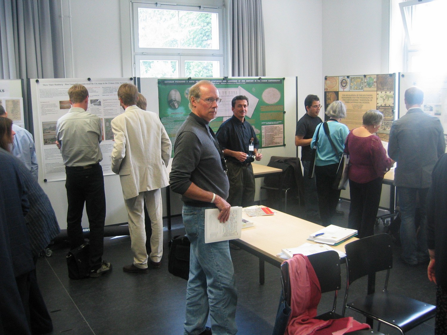 Poster Presentations
Listed are the posters with a summary (English and German) in the program book.
- Zsombor Bartos-Elekes (RO). Language and maps in the “Switzerland of Eastern Europe”, that is Transylvania / Sprache und Karten von Siebenbürgen,der «Schweiz Osteuropas».
- Chryssoula Boutoura and Evangelos Livieratos (GR). Holy Mount Athos relief representations between symbolism, art and cartography / Reliefdarstellungen des heiligen Berges Athos zwischen Symbolik, Kunst und Kartographie.
- Madlena Cavelti Hammer (CH). The survey and engineering work of Xaver Imfeld at the summit of Mont Blanc / Die Arbeiten von Xaver Imfeld am Mont Blanc.
- Vera Dorofeeva-Lichtmann (FR). Diversity in the representation of the Yellow River source in Chinese cartography / Abweichende Darstellungen der Quelle des Gelben Flusses in der chinesischen Kartographie.
- Christoph Eidenbenz (CH). The digital opening of a hidden treasure: Rudolf Wolf’s “History of the surveying of Switzerland ” on CD-ROM / Die digitale Erschliessung eines versteckten Schatzes: Rudolf Wolfs «Geschichte der Vermessungen in der Schweiz » auf CD-ROM.
- Maria Dulce de Faria (BR). A map of the Amazon river established by the land surveyors in South America / Eine Karte des Amazonas, erstellt von Landvermessern in Südamerika.
- Junia Furtado (BR). The oracle of geopolitics: Dom Luís da Cunha and Portuguese diplomacy in cartographic perspective / Das geopolitische Orakel: Dom Luís da Cunha und die portugiesische Diplomatie aus kartographischer Sicht.
- Regine Gerhardt (DE). Three times Hamburg: how Georg Braun understood the city maps in the “Civitates Orbis Terrarum ” / Drei Mal Hamburg: über Georg Brauns Verständnis der kartographischen Stadtansichten in der «Civitates Orbis Terrarum».
- Mário Gonçalves Fernandes (PT). The inserted cartography in Portuguese manuals of geography of basic and secondary education, 19th and 20th centuries / Beigefügte Karten in portugiesischen Schulbüchern für den Geographieunterricht an Primar- und Mittelschulen des 19. und 20. Jahrhunderts.
- Jorge Guzmán Gutiérrez (NO). The “relevation ” of the southern hemisphere and the cartographic tradition of Terra Australis Incognita / Die «Offenbarung » der südlichen Erdhalbkugel und die kartographische Tradition der Terra Australis Incognita.
- Ferdinand R. Hassler and Ardoth A. Hassler (US). A graphic history of Ferdinand Rudolph Hassler (1770-1843) and seven generations of American descendants / Eine graphische Geschichte von Ferdinand Rudolph Hassler (1770-1843) und sieben Generationen amerikanischer Nachkommen.
- Markus Hauser (CH). Unknown maps of Turkestan: an attempt to raise a hidden treasure / Unbekannte Karten von Turkestan: der Versuch, einen verborgenen Schatz zu heben.
- Peter Heitzmann (CH). Ancient and modern geological maps in Switzerland / Historische und moderne geologische Karten in der Schweiz.
- Francis Herbert (UK). “Stanford’s London Atlas map of Switzerland” [1892]: a “stumme Karte”, art-print, and commercial product / «Stanford’s London Atlas map of Switzerland» [1892]: stumme Karte, Kunstdruck und kommerzielles Produkt.
- Thomas Horst (DE). The development of “forensic cartography ” until the 18th century / Die Entwicklung der «Forensischen Kartographie » bis ins 18. Jahrhundert.
- Kristian Hvidtfelt Nielsen (DK). Mapping the deep sea: scientific exploration, national “flag-waving”, and relief maps of the Philippine Trench on the Galathea Deep Sea Expedition from 1950 to 1952 / Tiefseekartographie: wissenschaftliche Forschung, Nationalfahne hochhalten und Reliefkarten des Philippinengrabens anlässlich der Galathea-Tiefsee-Expedition von 1950 bis 1952.
- Krisztina Irás (HU). Portolan charts in Hungary: treasures of the National Széchényi Library / Portolankarten in Ungarn: Schätze der Széchényi-Nationalbibliothek.
- Alfred Kaniecki, Renata Graf, and Beata Medyńska-Gulij (PL). The “Hydrographic map of Poland” at a scale of 1:50 000: a historical approach / «Hydrographische Karte Polens» im Massstab 1:50 000: ein historischer Zugang.
- Kazimierz Kozica (DE). Martin Helwig’s map of Silesia of 1561 and its various editions / Martin Helwigs Karte von Schlesien von 1561 und ihre späteren Ausgaben.
- Imants Ļaviņš (LV). Trade routes between the Baltic Sea and the Black Sea regions in al-Khwārazmī’s map of the Azov Sea / Handelsrouten zwischen der Ostsee-und der Schwarzmeerregion in al-Khwārazmī’s Karte des Asowschen Meeres.
- Elri Liebenberg (ZA). Teaching Kindergarten geography: the 1:500 000 “Irrigation maps” of South Africa, 1935-1937 / Lehrstück Kindergarten-Geographie: die «Bewässerungskarten» 1:500 000 für Südafrika, 1935-1937.
- Jorge Macle Cruz (CU). Esteban Pichardo y Tapia, or the synthesis of image and language within one century of Cuban cartography / Esteban Pichardo y Tapia, oder die Synthese von Bild und Sprache eines Jahrhunderts in der kubanischen Kartographie.
- Annaleigh Margey (IR). The military maps of plantation Ireland, ca. 1580-1640 / Die Militärkarten von Irland zur Zeit der Anpflanzung, ca. 1580-1640.
- Sjoerd de Meer (NL). The Corpus Christi Collection / Die Corpus-Christi-Sammlung.
- Peter Mesenburg (DE). The World about 1450: analysis of the Catalan Estense world map / Die Welt um 1450: zur Genauigkeit der Katalanischen Estense-Weltkarte.
- Florian Mittenhuber (CH). Bilingual new edition of Ptolemy’s “Geography” / Zweisprachige Neuedition der «Geographie» des Ptolemaios.
- Luís Miguel Moreira (PT). Observing one’s country through the languages of others: maps of Portugal in the 18th century / Beobachtung des eigenen Landes durch die Sprachen anderer: Karten von Portugal des 18. Jahrhunderts.
- Jana Moser and Wolfram Dolz (DE). Legends about legends: astonishing map symbols from the beginning of the 18th century / Legenden über Legenden: interessante Kartensymbole vom Beginn des 18. Jahrhunderts.
- Kenneth Nebenzahl (US). Festival of Maps — Chicago, 2007 / Kartenfestival – Chicago 2007 (not present)
- Paola Pressenda (IT). The representation of the Mont Blanc in topographical maps between the 18th and the 19th century: the connection between mountaineering challenge and the cartographic production / Die Darstellung des Mont Blanc in topographischen Karten zwischen dem 18. und 19. Jahrhundert: Zusammenhang zwischen der Bergbesteigung und der Kartenherstellung.
- Sandra Sáenz-López Pérez (ES). O quam magnificata sunt opera tua Domine: the mappamundi in the Llibre Vermell / O quam magnificata sunt opera tua Domine: die Mappamundi im Llibre Vermell.
- Georg Schelbert (DE). Mapping Rome: the Cipro project on historical maps of Rome / Kartierung Roms: das Cipro-Projekt zu historischen Karten von Rom.
- Paola Sereno (IT). Cartography and build-up of geographical knowledge by laying out the Alpine boundaries of the House of Savoy in the 18th century / Kartographie und Entwicklung geographischer Erkenntnisse im 18. Jahrhundert anhand alpiner Grenzen des Hauses von Savoyen.
- Martijn Storms (NL). 1200 Adan maps: the cartographic heritage of a Brabant surveyor family (1736-1840) / 1200 Adan-Karten: das kartographische Erbe einer Geometer-Familie aus Brabant (1736-1840).
- Maria Luisa Sturani (IT). Cartography and territorial change in the building of modern states: the representation of the Italian political unification through small-scale printed maps (19th century) / Kartographie und Gebietsveränderungen beim Aufbau moderner Staaten: Darstellung der politischen Einigung Italiens anhand kleinmassstäblicher gedruckter Karten (19. Jahrhundert).
- Lucyna Szaniawska (PL). Comparison of Antonio Millo’s atlases: portolan atlas of 1583 and world atlas of 1586 / Vergleich der Atlanten von Antonio Millo: der Portolan-Atlas von 1583 und der Weltatlas von 1586.
- Rolf Peter Tanner (CH). Old maps as sources for the reconstruction of ancient traffic routes / Alte Karten als Quelle für die Rekonstruktion historischer Verkehrsrouten.
- Alexander Wolodtschenko (DE). Towards a project “In memory of Leo Bagrow” / Zum Projekt «Würdigung von Leo Bagrow».
- Liudmila Zinchuk (RU). The first attempts of mapping relief in the early Russian cartography / Die ersten Versuche der Geländedarstellung in der frühen russischen Kartographie
Papers ISCEM meeting
Not received.
Papers ICA meeting
Session Teaching the History of Cartography. Chair: Ferjan Ormeling (The Netherlands)
- Elri Liebenberg (ZA). Sources and methods used in researching colonial cartography.
- Paul van den Brink (NL). Internet as a resource for carto-bibliographical research.
- Agostin Hernando (ES). Creating new opportunities to learn: Teaching the History of Cartography through a web course at Barcelona University.
- Evangelos Livieratos (GR). Digital analysis and cartographic heritage.
- Laszlo Zentai (HU). Digital reconstruction of old topographic maps (read by Ferjan Ormeling).
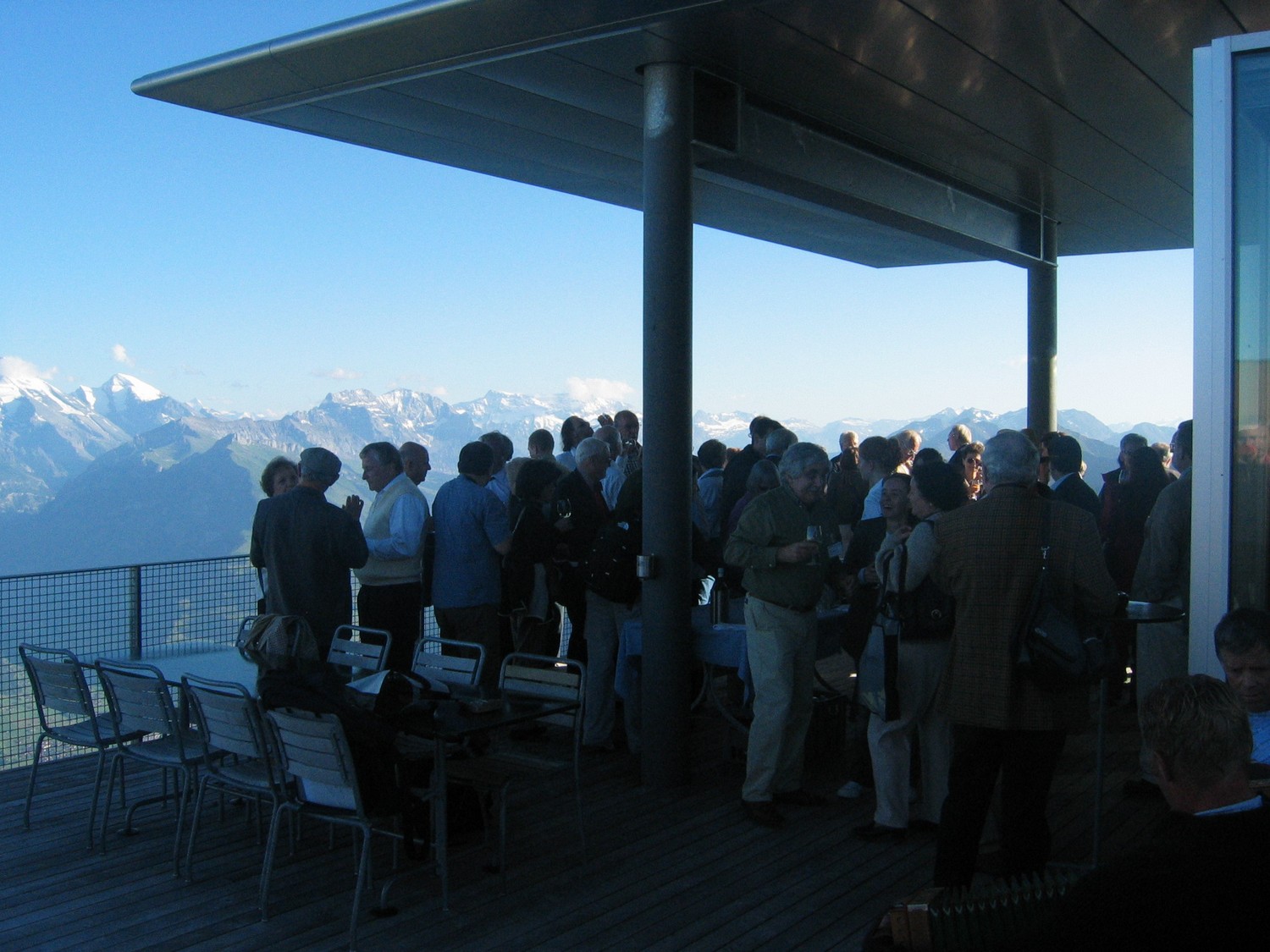
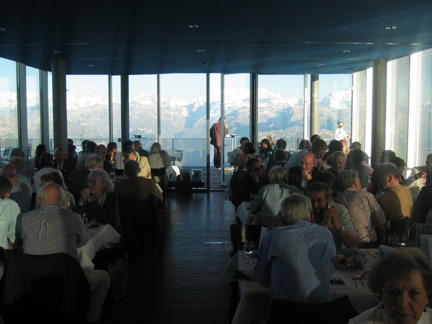 Farewell dinner on the Niesen
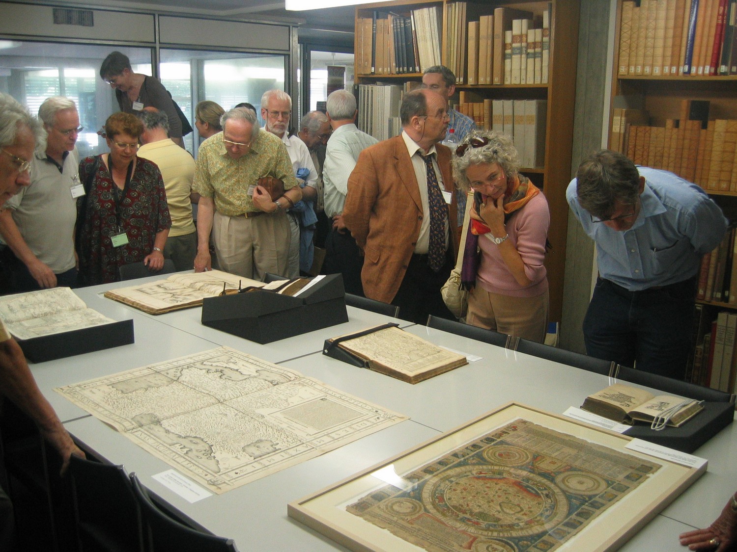
Reports
Imago Mundi 60,1 (2008), 97-103 (Bert Johnson)