14th International Conference on the History of Cartography
Den 14:e Internationella Konferensen i Kartografins Historia
14-19 June 1991 — Uppsala & Stockholm
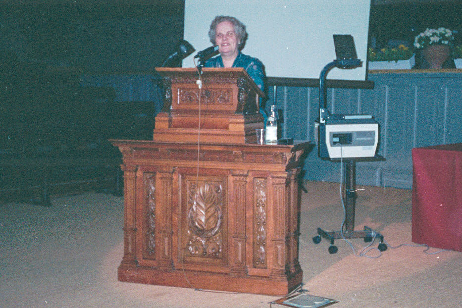
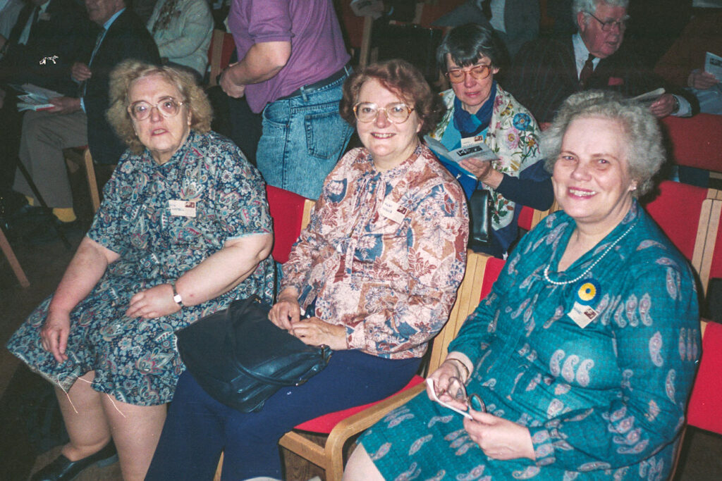
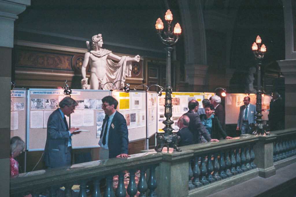
Held in the aula (auditorium) of the old university building of Uppsala and in the university of Stockholm, with main coordinator Ulla Ehrensvärd. Attendance was 167, from 24 countries, and conference languages were English, French and German.
The thematic sections were: “Polar Cartography,” “Medieval Cartography,” “”Military and Cadastral Mapping,” “Baltic Cartography.”
There were two exhibitions,
- “Kartor-fem seklers svensk kartografi,” was held at the Royal Army Museum, Military Archives (catalog: Kartor–fem seklers svensk kartografi, by Ulla Ehrensvärd. Stockholm, 1991); and
- of 18th and 19th century maps and atlases, was held at the Academy of Sciences in Leningrad [now St. Petersburg], for those who made that excursion (catalog (71pp)).
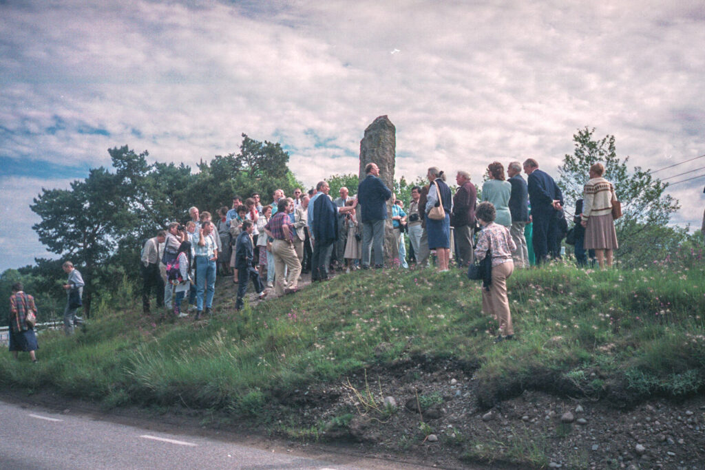
There was an excursion to Skokloster Castle, and a much longer one to Helsinki and Leningrad [St. Petersburg].
The proceedings of the seminar on the teaching of the history of cartography for this ICHC were published (Proceedings of the Seminar on Teaching the History of Cartography, held at the University Library Uppsala June 13, 1991, ed. Ferjan Ormeling. (Utrecht, 1991)(82pp). There were 47 papers, plus 24 poster presentations, and an abstracts book was published (80pp) (See Karrow and Akerman (1992), at their note 4).
Papers 14th ICHC
Session 14 June PM: Polar area
- Kretschmer, Ingrid. Austria’s Part in the Mapping of Jan Mayen.
- Pastoureau, Mireille. The “Neptune du Cattegat et de la Mer Baltique” by Fleurieu, 1809.
- Brunner, Kurt. Sea Ice and Glaciers in Old Maps of the Arctic Sea and Baltic Sea.
- Schilder, Günter. The Dutch Contribution to Arctic Cartography.
- Okhuizen, Edwin. Dutch Maritime Cartography of the Baltic in the Sixteenth Century.
- Käbin, Ilo. The Discovery of Kotzebue Sound.
Session 15 June AM: Special interests
- Akerman, James R. Selling Maps, Selling Highways: Rand McNally’s “Blazed Trails” Program.
- Palma, Maria Teresa di. Four Wall Maps of Continents Made by I. Blaeu/de Rossi (1666).
- Vries, Dirk de. The “Théatres de la guerre”: A New Trend in Newsmaps Set by Pieter Mortier.
- Cook, Karen S. The Geological Map in Dudley’s Metallum Martis, 1665.
- Woodward, David. The Evidence of Offsets in Analytical Cartobibliography.
Session 15 June PM: Medieval maps
- Unno, Kazutaka. Extant Maps of Paddy Fields Drawn in Eighth-Century Japan.
- Barber, Peter M. “God for England”: An English World Map of about 1390.
- Gambin, Marie-Thérèse. The Planispheareum Treatise, by Jordanus.
- Lecoq, Danielle. Maps in the Alexandreis of Gauthier de Chatillon.
Session 16 June AM: Medieval maps 2
- Wajntraub, Gimpel, and Wajntraub, Eva. Medieval Hebrew Cartograms/Diagrams.
- Delano Smith, Catherine. Before the Mappaemundi: Religion and Maps in Late Antiquity and the Early Middle Ages.
- Marques, Alfredo Pinheiro. Some Fragments of Portolan- Charts Recently Found in Portugal.
Session 16 June AM: Medieval maps 3
- Podossinov, Alexander V. Orientation of Old Maps (From Ancient Times till the Early Middle Ages).
- Tolmacheva, Marina A. Arab Geography in “Nova Orbis Tabula” by Bertius.
- Levy, Milka. The Crusader Maps of Jerusalem.
Session 18 June AM: Military mapping
- Pelletier, Monique. A Working Programme for Military Engineers.
- Feldmann, Hans-Uli. The First Swiss Federal Survey and its Cartographic Results.
- Scharfe, Wolfgang. Olof Hansson Svart’s Map of Brandenburg (1630-1632).
- Babicz, Józef. “Atlas Poloniae collectus, 1790” in Sächsische Landesbibliothek, Dresden.
- Watelet, Marcel. Contribution of the Russian Topographical Surveys of the North of France (1815-1818) to the Study of Cartographic Semiology.
- Salgaro, Silvino. Military Cartography as Strategic Observation: The Case of the Republic of Venice.
Session 18 June PM (1): Military mapping 2
- Reinhartz, Dennis. In the Service of Catherine the Great: The Siberian Map of Sir Samuel Bentham.
- Harris, John Christopher. Bergen’s Early Maps, 1640-1815, Vision and Reality.
- Castensson, Reinhold, and Hans Lindgren. Historical Maps and Infrastructure Development: Historical Maps as a Source for Analysis of Seventeenth- and Eighteenth Century Canal Projects in Sweden.
- Pedley, Mary Sponberg. Eighteenth- Century Experiments in Color Printing.
- Thrower, Norman J. W. Lt. W. H. Emory and the Military Mapping of the Southwestern U.S.A.
- Edney, Matthew H. British Military Education and Military Mapping ca. 1800.
Session 18 June PM (2): Cadastral mapping 2
- Baigent, Elizabeth, and Roger J.P. Kain Cadastral Maps in the Service of the State.
- Bendall, Sarah A. Private Surveys for Private Landowners: Land Surveyors in Great Britain, 1550-1850.
- Greppi, Claudio, and Rossi, Massimo. A Background for Cadastral Maps: Some Ferrarese Atlases of the Late XVII Century.
- Gavish, Dov, and Ruth Kark. The Introduction of Cadastral Mapping in Palestine, 1858-1928.
- Liitoja, Ülle. The Use of Cadastral Maps in the Study of the History of Estonian Settlement.
Session 19 June AM: Baltic area
- Utin, Garri. Russian Cartography of the Baltic Sea (Eighteenth-Nineteenth Centuries).
- Kotelnikova, Natalia E., and Gordeeva, Z. Aspects of the History of Cartography of the Moscow Government (Seventeenth-Nineteenth Centuries).
- Göransson, Sölve. The Earliest Map of the Population of Sweden.
- Jaatinen, Stig. The Cultural Landscape of Aaland in the Eighteenth-Century.
- Oja, Tiiu. Cadastral Maps from the Late Seventeenth Century in the Estonian History Archives, Tartu.
Read by title
- Abeydeera, Ananda. Knowledge of Sri Lanka by Arab Geographers in the Middle Ages.
- Harley, J. Brian. Strategies of Resistance in Spanish Colonial Cartography: The 1615 “Mapa Mundi of the Indies” by Felipe Guaman Poma de Ayala.
- Pawlowska, Anna Teresa. Cadastral Maps of the Polish Land.
- Randles, W. G. L. Contradictions between Cosmography and Cartography in Fifteenth-Century Maps.
Poster Presentations 14th ICHC
- Åkerström-Hougen, Gunilla. Antonio Tempesta’s Map of Rome, 1593.
- Alexandrowicz, Stanislaw, and Vilnis Pavulans. Georg von Schwengeln’s Map of Livonia and Estonia from 1640.
- Chekin, Leonid S. Mappae Mundi and Scandinavia (Tenth-Thirteenth Centuries).
- Diallo, Goudoussi Abdoul. Overview of the History of Cartography in Africa.
- Fletcher, David. The Adoption and Use of Mapping in English Estates ca. 1600-1840.
- Gianeselli, Chiara, and Salgaro, Silvino. The Muscovy Company and its Influence on the Cartography of the North Countries.
- Jaanson, Ene. Maps of Estonia from the Sixteenth Century to 1850.
- Kark, Ruth. Christian Missionary Societies and Cartography in the Nineteenth-Century.
- Konopska, Beata, and Swiderski, Grzegorz Dominik. Evaluation of the Military Historic Atlas Conception in Polish Cartography.
- Krogt, Peter van der. The Publication of the Blaeu-Van der Hem Atlas in the Austrian National Library, Vienna.
- Kupcík, Ivan. Classification of Significance of the European Pilgrim Maps.
- Li Xiao-cong. An Atlas of Ancient Maps of China.
- Okhuizen, Edwin. The Dutch Contribution to the Cartography of Russia, Sixteenth-Eighteenth Centuries: A Ph.D. Research Project.
- Pavulans, Vilnis. J. A. Ulrich’s Road Atlas of Vidzeme.
- Rubin, Rehav. Original Maps and their Copies: Cartogenealogy of Early Printed Maps of Jerusalem.
- Strauchmanis, Janis. The Problems and Methods of the Compilation of Old Map Catalogues in Latvia.
- Strauchmanis, Janis. The Main Research Directions in the History of the Cartography of Latvia.
- Taioli, Luciano. The Two Maps of the World by Fra Mauro, 1457-59.
- Vantini, Sandra, and Pappalardo, Maria Laura. Military Structures in Large Scale Cartography: Formal and Territorial Aspects Concerning Verona.
- Vantini, Sandra, and Pappalardo, Maria Laura. Maps Drawn by the “Istituto Geografico Militare Italiano”: Between War Aims and Civilian Uses.
- Wennström, Hans-Fredrik. A Modern Map Goes Historic.
- Werner, Jan W. H. The Muller Collection in the Amsterdam University Library.
- Winearls, Joan. Mapping Upper Canada: Bibliographical Problems with Nineteenth-Century-Printed Maps.
- Zögner, Lothar. Tilemann Stella and his Surveying of Pfalz-Zweibrücken
Note
There was also distributed at the conference (not to all) a third provisional version of Peter van der Krogt’s and Marc Hameleer’s bibliography of the history of cartography of the Netherlands, the final edition of which would be published in 1993.
References
Imago Mundi 44(1992), 126-29 (Karrow & Akerman)
Mapline 63 (Autumn, 1991): 10-13 (Karrow & Akerman)
Kartographische Nachrichten 41(1991): 231-33 (Kupcík)
Österreichische Geographische Gesellschaft, Mitteilungen 133(1991): 295-96 (Kretschmer)
Società Geografica Italiana, Bollettino ser. 11, vol. 8 (1991) 565-66 (Salgaro)
Československá geografická společnost Sborník, 97 (1992) 1: 51-52 (Kupcík)
Caert-Thresoor 10 (1991) 4: 77 (Reinhartz)
The Map Collector 56 (Autumn, 1991): 28 (Scott)
Cartographica Helvetica 4 (1991): 42 (Feldmann)
Polski przegląd kartograficzny 23 (1991) 168 (Babicz)
Geographische Gesellschaft München, Mitteilungen 76 (1991): 215-17 (Kupcík)