16th International Conference on the History of Cartography
16. Internationale Konferenz zur Geschichte der Kartographie
11-16 September 1995 — Wien
![]() Held in the Austrian National Library, Austrian Academy of Sciences, and the Department of Geography of Vienna University, with principal coordinators Ingrid Kretschmer, Johannes Dörflinger, Franz Wawrik, Jan Mokre, Helga Hühnel, Elisabeth Zeilinger. Conference languages English, French and German.
Held in the Austrian National Library, Austrian Academy of Sciences, and the Department of Geography of Vienna University, with principal coordinators Ingrid Kretschmer, Johannes Dörflinger, Franz Wawrik, Jan Mokre, Helga Hühnel, Elisabeth Zeilinger. Conference languages English, French and German.
Thematic sections are “Central Europe,” “Eastern Europe,” “Near East,” “Relief Representation,” “Varia.”
There were six exhibitions:
- “Cartographic Rarities of the `Woldan Collection’,” at the University of Vienna Archives;
- “Das ist die Stat Wienn’. A Walk through Five Centuries of Vienna Urban Cartography,” at the Historical Museum of the City of Vienna;
- “Relief Representation–From Simple Vertical (Profile) Methods to the Digital Relief Model,” at the Federal Office of Metrology and Surveying;
- “Maps, Atlases and Globes of the Oldest Monastery in Vienna,” at the Benedictine Abbey `Schottenstift’;
- “Lower Austria in Old Maps,” at the State Library of Lower Austria; and
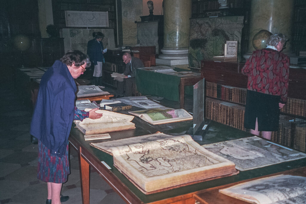
- “Cartographic Treasures of the Austrian National Library,” in the Oratorium of the ANL.
Participants were provided with printed catalogs for all the exhibitions. There were also several receptions and visits, and post-conference excursions were a coach-tour to Krems, and a lengthy 6-day trip to Budapest and Prague, from Sunday, September 17 to Friday, September 22.
Two new special meetings as adjuncts to the conference were a meeting of the directors of Imago Mundi, and a round table on theoretical aspects of the history of cartography, chaired by Edward Dahl (published in Imago Mundi 48 (1996).
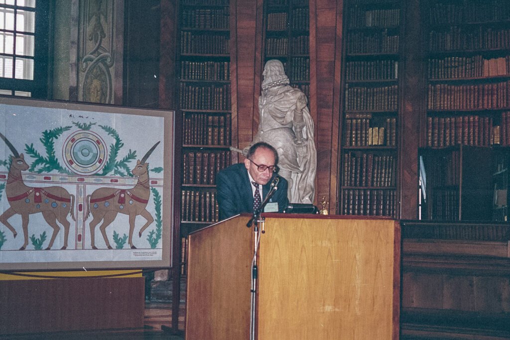
There were 47 papers plus 22 poster presentations, and there was an excellent accompanying abstracts book, which also includes substantial curricula vitae for all speakers and poster presenters, a very useful innovation (Ingrid Kretschmer, ed., 16th International Conference on the History of Cartography Vienna/Austria, 11-16 September 1995. Abstracts. Curricula vitae. Vienna, 1995 (111pp)). A festive concert held in the Austrian National Library closed the conference.
In Imago Mundi 48 (1996) the papers of Dahl, Edney, Gavish, Jacob, Pedley, and Van der Krogt were published, and in Imago Mundi (49, 1997) those by Heinz, Kawamura, Mokre, and Schlögl.
Papers 16th ICHC
* published in Imago Mundi 48 and 49 (1996 and 1997)
Session 1
- Johannes Dörflinger (AT). Comments on the Exhibitions. (a meaningful discussion, with substantial 2-page abstract in abstracts book)
- Ingrid Kretschmer (AT). History of Cartography: Present and Future.
Session 2. Central Europe I. Chair: Günter Schilder
- Wolfgang Scharfe (DE). The Image of Brandenburg on Maps of Germany of the 15th and 16th Centuries.
- Klára Patay (HU). The Map of Hungary Made by Lazius.
- Elmar Csaplovics (DE). Time Series of Historical Maps for Analyzing Landscape Structures at a Regional Level – A Case Study of the Region of Lake Ferto (Neusiedler See).
Session 3. Eastern Europe. Chair: Dennis Reinhartz
- Edwin Okhuizen (NL). Dutch Cartographers in the Service of Tsar Peter the Great.
- Nikolai N. Komedchikov (RU). Main Periods of Development of School Geographic Cartography in the U.S.S.R. (1917-1991).
- Tiiu Oja (EE). About the Development of Cartography in Estonia in the 18th Century and its Relations with the State Power and State and Estate Institutions.
Session 4. Central Europe II. Chair: Johannes Dörflinger
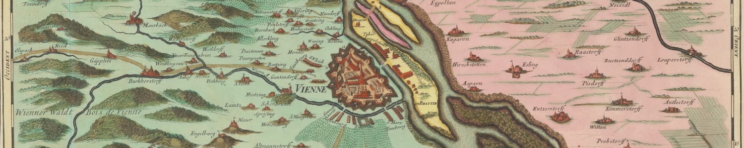
- *Jan Mokre (AT). The Town and its Environs. Aspects of the Cartographic Relationship between Vienna and its Surroundings from the 17th up to the Middle of the 19th Century.
- Lajos Bartha (HU). Halley, Marsigli and the First Isogone Line across the Carpathian Basin (1701).
- Eva Semotanova (CZ). Thematic Mapping in the Czech Lands in the 19th Century.
Session 5. Near East I. Chair: Robert W. Bremner
- Cyrus Ala’i (GB). The Rise and Fall of Cartography in the Pre-Modern Islamic Societies.
- Thomas D. Goodrich (US). Ottoman Maps of Istanbul in the Kitab-i Bahriye of Piri Reis.
- Rehav Rubin (IL). The ‘de Pierre Map’ of Jerusalem, 1728.
Session 6. Relief Representation I. Chair: Ingrid Kretschmer
- Hans-Uli Feldmann (CH). Rock Representation in Topographic Maps of Switzerland.
- Wolfgang Lierz (DE). Uphill or Downhill? Different Aspects of Slope and Relief Representation on Early Cycling and Motoring Maps.
- Norman J. W. Thrower (US). Relief Representation in the United States in the 19th and 20th Centuries.
Session 7. Central Europe III. Chair: Wolfgang Scharfe
- Simone Dumont and Suzanne Débarbat (FR). Two Scientists as Cartographer Pilgrims in Central and Eastern Europe: Delisle and Cassini.
- *Daniel Schlögl (DE). Cartography in the Service of Reform Policy in Late Absolutist Bavaria, 1750-1800.
- Vincenc Rajšp (SI). Representation of the ‘Josephinische Landesaufnahme’ – the Map with Descriptions of Slovenia.
Session 8. Relief Representation II. Chair: Hans-Uli Feldmann
- Kazutaka Unno (JP). A Method of Representing Mountains in Early East-Asian Cartography.
- *Hirotada Kawamura (JP). Papier-mâché Relief Model ‘Bohcho Dozu’ Made in Edo Era.
- João Carlos Garcia (PT). The Relief of the Iberian Peninsula in the Printed Cartography (16th and 17th Centuries).
Session 9. Varia I. Chair: Tony Campbell
- Alfredo Pinheiro Marques (PT). How and Why the Portuguese Ordered (and Paid for) the ‘Fra Mauro Map’ (not read).
- Donald McGuirk (US). Apianus’ World Map of 1520. World Census and Commentary.
- David Woodward (US). The Harmsworth Atlas and its Place in the Gastaldi Tradition.
Session 10. Varia II. Chair: Mary Pedley
- Delno C. West (US). The Polar Cartography of ‘Inventio Fortunata’. Was it a Medieval Metaphor for Hell?
- *Peter van der Krogt (NL). Amsterdam Atlas-Production in the 1630s; a Nightmare for the Bibliographer.
- Günter Schilder (NL). The Atlas ‘Blaeu-Van der Hem’, a Monument of Dutch Culture in Vienna.
Session 11. Near East II. Chair: Catherine Delano-Smith
- Eva Wajntraub and Gimpel Wajntraub (IL). Austrian Cartographers of Holy Land Maps and Views.
- Dirk de Vries (NL). How Specific Was Van de Velde’s ‘Map of the Holy Land’ (1858)?
- *Dov Gavish (IL). Foreign Intelligence Maps and the 1 : 100.000 Topographic Map of Israel: British and Arab Adaptations.
Session 12. Near East III. Chair: Edward H. Dahl
- David Fletcher (GB). The Reconstruction of Map-Consciousness: Estate Mapping in Early Modern England.
- David Buisseret (US). Maps and the Military Revolution.
- Suzanne Débarbat, Josette Alexandre, and Nandou Daliès (FR). Unpublished Messier Celestial Maps for Representing the Trajectory of Comets.
Session 13. Varia IV. Chair: David Buisseret
- *Markus Heinz (AT). The Development of the Areas Covered by Homannian Maps in the 18th Century.
- *Mary Pedley (US). Maps, War, and Commerce: The Business Correspondence with the Firm of Thomas Jefferys and William Faden.
- Mead T. Cain (US). The Map Trade in Early Victorian England: Insights from the Archives of the Society for the Diffusion of Useful Knowledge (not read).
Round Table. Chair: Edward H. Dahl
- *Edward Dahl (CA). Theoretical Aspects of the History of Cartography: A Discussion of Concepts, Approaches and New Directions.
- *Matthew H. Edney (US). Current Theories in the History of Cartography.
- *Christian Jacob (FR). Towards a Cultural History of Cartography (read in absentia).
Session 14. Varia IV. Chair: Robert W. Bremner (i.s.o. David Woodward)
- Maria Fernanda Alegria and Maria Helena Dias (PT). Coastline Representations and Evolution of Nautical Charts: The Portuguese Case.
- Virginia Gonzalez Claveran (MX). New Spain’s Coasts Cartography, 18th Century (not read).
- Fritz Kelnhofer (AT). Cartographic Information Design and the Development of Reproduction Techniques at the End of the 19th Century.
- Elri Liebenberg (ZA). The ‘First’ Topographic Map of Africa.
Others
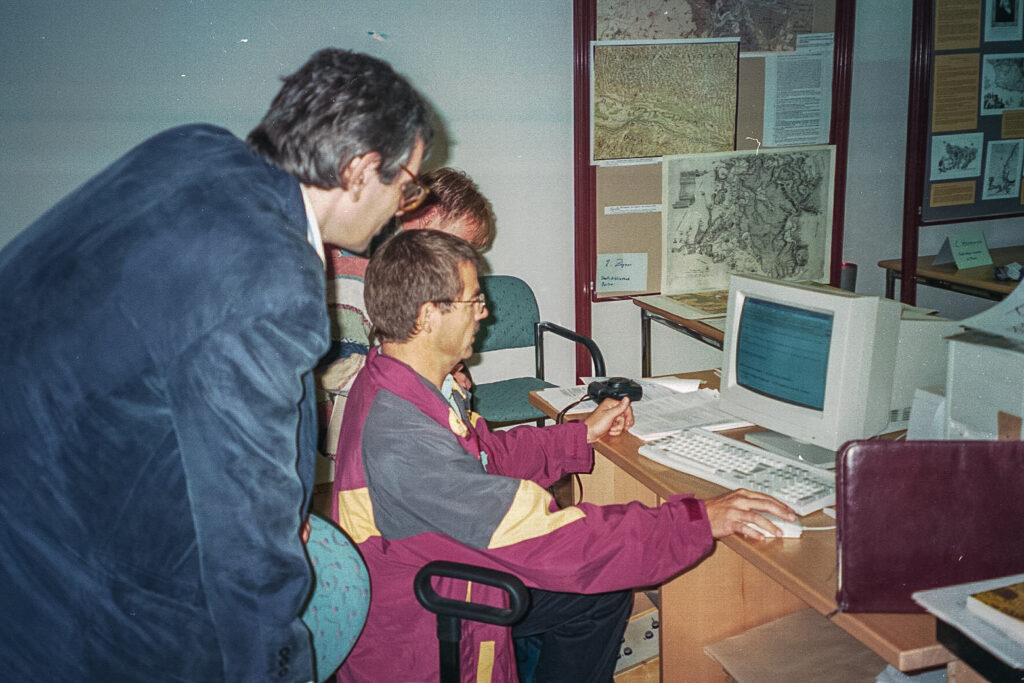
- Lionel Dorffner (AT). The Digital Behaim-Globe–Real-Time Visualisation and Rotation. (a special presentation).
Poster Presentations 16th ICHC
- Jozef Babicz (PL). Atlas statistique de Royaume de la Pologne 1840 et sa importance dans l’histoire de science.
- A. Fleck and Lajos Bartha (HU). Christoph Pühler: An Early Author of Surveyors Handbook and Designer of Instruments.
- Catherine Hofmann (FR). The Rediscovery of Greece in France, 1770-1820: The Testimony of Maps.
- Szilvia Andrea Hollo (HU). Budapest on Old Maps 1686-1896. (read in session 14).
- Egon Klemp (DE). The Field Mappings of the Near East by Helmuth von Moltke.
- Thomas Klöti (CH). Making the Ryhiner Collection Accessible – World Wide Web as a Possible Aid in the Provision and Distribution of Old Maps.
- Ivan Kupčik (DE). Documenta Cartographica Saecularia Monacensia.
- Edwin Okhuizen (NL). A Cartobibliography of Maps, Plans and Views in Dutch Books about Russia and Neighbouring Countries (16th-18th Centuries).
- Kujtim Onuzi (AL). Historical View over Geological Cartography in Albania.
- Vincenc Rajšp (SI). ‘Josephinische Landesaufnahme’, the Ordnance Map for Slovenia (Made 1784-1787) in Comparison with the Sheets of the Atlas of Slovenia, issued 1992.
- Krystyna Szykuła (PL). Jenkinson’s Map of Russia of 1562. Further Investigations.
- Carmela Venti (US). ‘Team Earth’: Goode’s Homolosine Projection Transformed.
- Alexander Wolodtschenko (DE). Cartosemiotic Peculiarities of Prehistoric Maps.
The following poster wer not in the book of abstracts: - Miljenko Lapaine, Miroslava Lapaine, and Nedjeljko Frančula (HR). Croatian Cartographers.
- Gemmarosa R. Levi-Donati and Franco A. Levi (IT). Hartmann Schedel: Only One Woodcut for Nine Different Places!
- Evangelos Livieratos, M. Valsamaki, C. Boutoura, E. Farantaki, and M. Asteriadou (GR). Cartometric Analysis of Ptolemy’s Maps of Greece.
- Max Seurig (DE). The Stonetrench in Nobbin on Rügen – A Cartography in Stone?
Note
A 2-page “British Library Atlas Collation Project Progress Report: September 1995,” on Rodney Shirley’s ongoing project was distributed at the conference, and also a 3-page “DFG-Projekt `Erschließung historisch wertvoller Kartenbestände’,” giving the status of that project as of August, 1995. There were probably some other reports, other than those noted in the listings above, for which papers were distributed, since I was not present at some sessions and very likely overlooked some. Also, according to Wawrik’s closing address, there were 22 poster presentations, so evidently six are missing from the list here.
References
Imago Mundi 48 (1996): 206-208 (McCorkle)
Cartographica Helvetica 13 (1996): 42-44 (Feldmann)
The Map Collector 73 (Winter 1995): 44 (Scott)