18th International Conference on the History of Cartography
18ο Διεθνες Συνεδριο Ιστοριας της Χαρτογραφιας
11-16 July 1999 — Αθήνα (Athens)
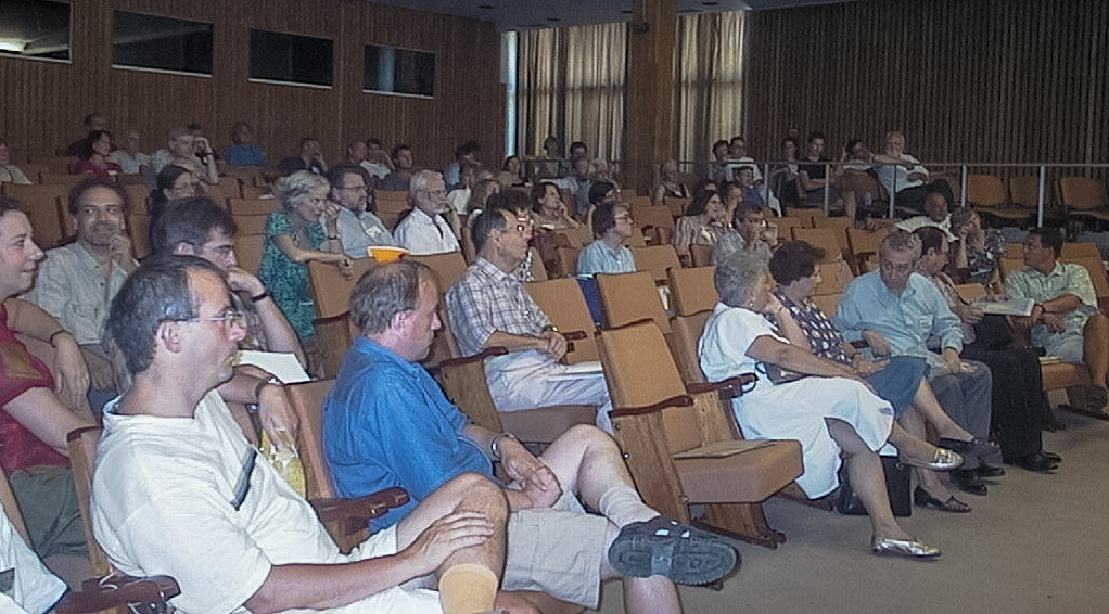
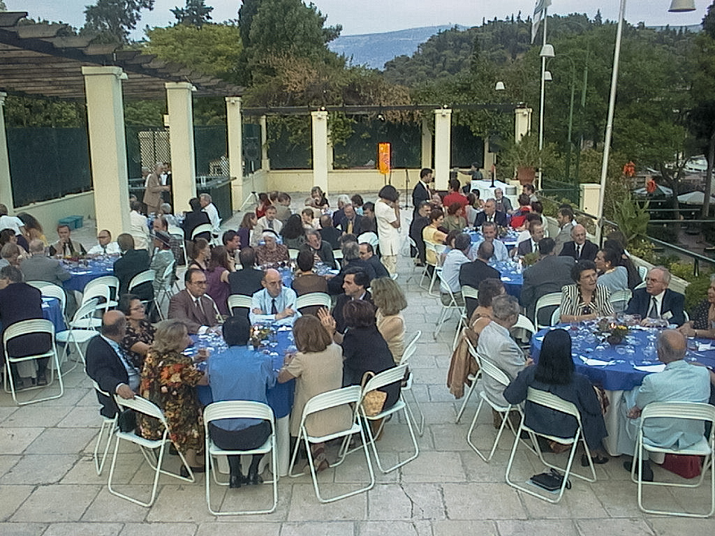
 Held at the Κεντρο Νεοελληνικων Ερευνων-Εθνικο Ιδρυμα Ερευνων (Center for Neohellenic Research-The National Hellenic Research Foundation) and the Γενναδειος Βιβλιοθηκη (Gennadius Library). Organized by the Ελληνικη Εταιρεια Χαρτογραφιας (Society for Hellenic Cartography). President of the organising committee was Θεμης Στρογγυλος (Themis Strongilos), general secretary Γιωργος Τολιας (George Tolias). Attendance was 194. Conference languages English, French and Greek.
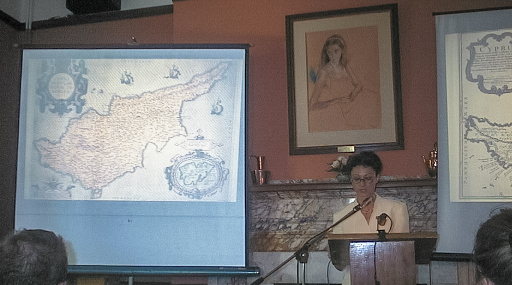
The main conference topics were the cartography of the Mediterranean world and other aspects of the history of cartography. Thematic sessions were on “Renaissance”, “Theory, Practice, and the History of Cartography Project”, “Map Functions”, “Cadastral Mapping”, “City Views”, “Islands”, “Celestial Cartography”, “Military Engineering”, “Russian Charting”, “Medieval Texts and Maps”, “Nations and Cartography”, “The History of Historical Maps”, “Quantitave Methodology”, “Reconstructing Homer”, “Current Research in Ancient and Medieval Cartography”, “Hydrography”, “Islamic Cartography”, “Portolan Charts”, “Thematic Mapping”, “Cartometry”, and “Maps in the Service of Science”.
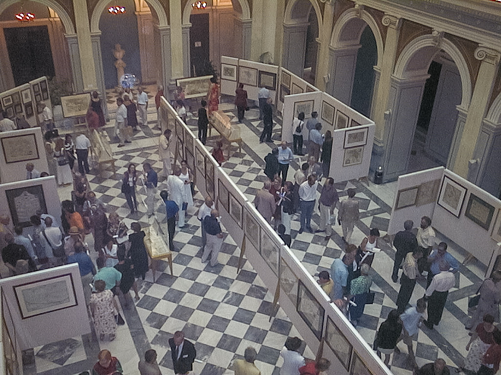
There were three exhibitions, for each of which was published a catalog:
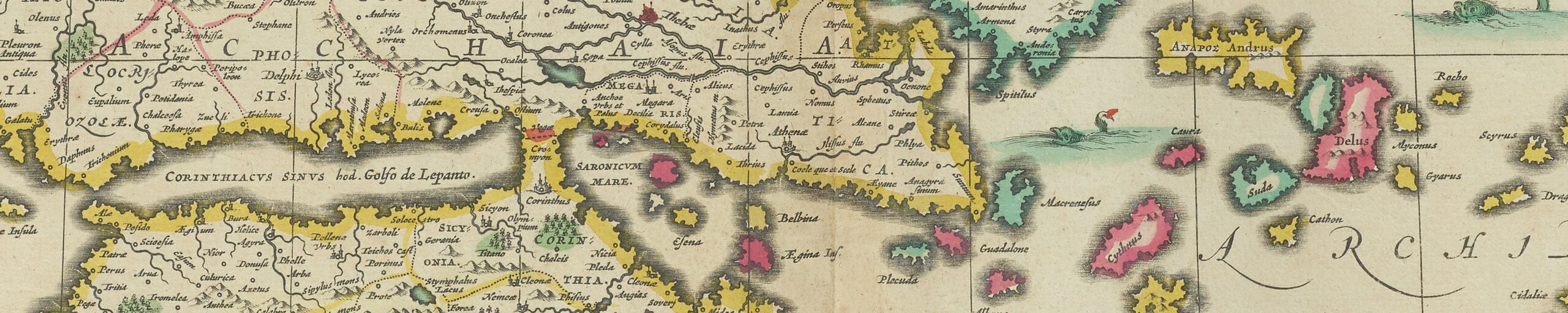
- “The cartography of the Mediterranean-The Greek Private Collections”, in the Melas Hall.
- “20th Century Greek Cartography”, at the atrium of the National Hellenic Research Foundation.
- “Greek Cartography in print 16th-19th century from the Gennadius Library Collection”, in the Gennadius Library.
Special sessions were
- the round table discussion “One Map, Four Viewpoints”, with contributions on Ortelius’s world map of 1570 by Giorgio Mangani, Lucia Nuti, Peter van der Krogt, and Kees Zandvliet;
- the roundtable discussion ‘Current Research in Ancient and Medieval Cartography’, chaired by Evelyn Edson.
- the workshop ‘Portolan Charts’, chaired by Corradino Astengo.

On 10 July there were two pre-conference meetings: the ISCEM meeting and the ICA Symposium on “Teaching the History of Cartography”.
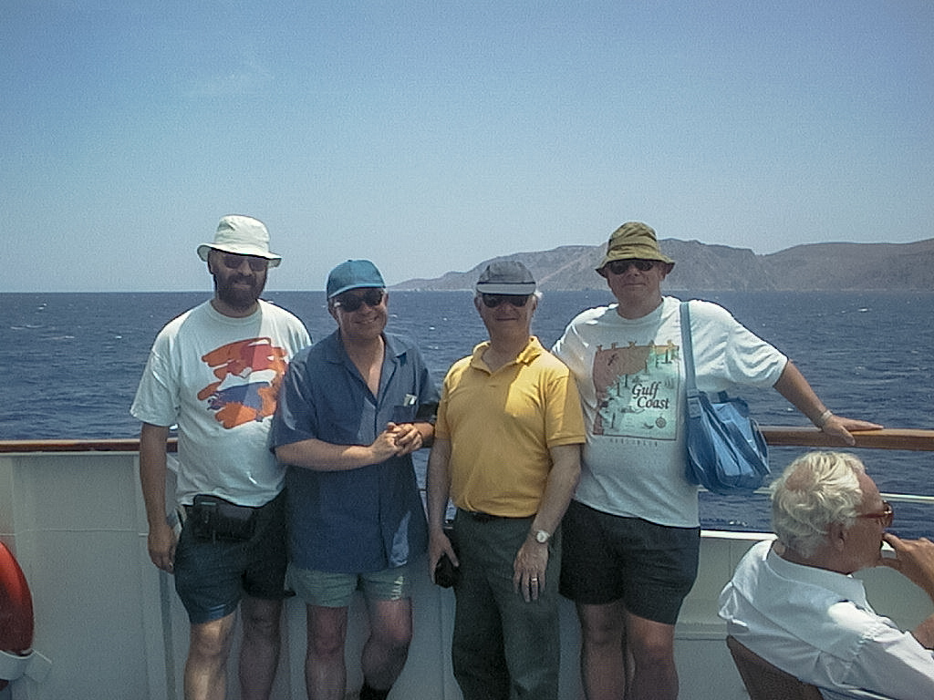
Excursions were a tour of the Acropolis and a day cruise to Aegina, Hydra, and Poros. The farewell dinner was at the Tennis Club of Athens.
There were 54 papers and 20 poster presentations, and there was an accompanying abstracts book, which also includes substantial curricula vitae for all speakers and poster presenters.

Papers 18th ICHC
- Akerman, James. Private journeys on public maps: a look at inscribed road maps.
- Avramea, Anna. Problems of the Byzantine Empire’s cartography: the evidence from the texts.
- Belavilas, Nikos. Aegean Sea islands and ports through the isolaria of the 14th and 15th centuries.
- Bulatov, Vladimir, and Alexey Zaytsev. Russian manuscript maps of the Dardanelles and Bosphorus.
- Cain, Mead. The economics of the map trade in early Victorian England: evidence from the Society for the Diffusion of Useful Knowledge. (paper not read)
- Casassas, Annamaria, and Carme Montaner. Science and spying: maps of Northern Africa and the Near East in the works of Ali-Bei el-Abbasi (1766-1818).
- Cavelti Hammer, Madlena. Les traces topographiques de Napoléon dans les pays Méditerranéens.
- Chiang Tao-Chang. The contribution of the History of Cartography to the history of Chinese cartography.
- Cohn, Ellen. The first chart of the Gulf Stream (1768).
- Copeaux, Etienne. Les cartes historiques: une vision du monde?.
- Ebel, Kathryn. Ottoman siege plans and the representation of cities in 16th century Istanbul.
- Edney, Matthew. J.B. Harley’s pursuit of specific theories and of the big picture.
- Egmond, Marco van. Maps of the Mediterranean world published by Covens and Mortier: distribution in the Netherlands in the 18th and 19th centuries.
- Fiorani, Francesca. Maps of the Catholic reform in 16th century Italy.
- Friedman, Anna Felicity. Mapping comets: travellers across the night sky.
- Gandolfi, Alberto, and Lucio Russo. A statistical analysis of Ptolemy’s geographical data. (paper not read).
- Garcia, Joâo Carlos, and Maria Fernanda Alegria. La méditerranée et la cartographie hydrographique portugaise pendant le XXe siècle.
- Georgopoulou, Maria. The cartography of Venetian Candia: science in the service of authority.
- Godlewska, Anne. Maps and landscapes of war: the life and work of Giuseppe Bagetti.
- Hameleers, Marc. 17th century large scale maps of Amsterdam used for urban development: a recently recognised map-type.
- Hasegawa, Koji. Printed county atlases in early modern Japan.
- Hernando, Agustín. Minorca: a long and complex cartographic history.
- Hofmann, Catherine. La géographie homérique, ou comment concilier l’épopée, le terrain et la carte.
- Iacovou, Maria. European cartographers as classical scholars: the case of the ancient city-kingdoms of Cyprus.
- Jacob, Christian. Is the History of Cartography an encyclopaedic or a programmatic work?
- Kark, Ruth. The Lands of the Sultan: newly discovered Ottoman cadastral maps in Palestine.
- Katsiardi-Hering, Olga. Venetian manuscript maps of the island of Lefkada [Santa Maura] (c. 1686-1721). (paper not read).
- Kerem, Yitzchak. The Sephardic tradition of cartography.
- Komedchikov, Nikolay. The evolution of map language from Italian Renaissance maps of the 16th century to the beginning of graduated measurement in the mid-18th century.
- Leuven, Jon van. Black spots and grey zones: medieval mapping in southern Greece.
- Liebenberg, Elri. Maps of the Boer War, 1899-1902.
- Loupis, Dimitris. Piri Re’is’s book on navigation (Kitab-i bahriye) as a geography handbook.
- MacLeod, Roy. The map-makers go to war: the Allied effort on the Western Front, 1915-1918.
- Mardiste, Heino, Juri Jagomagi, and Vello Paatsi. Ups and downs in the development of Estonian national cartography.
- Martin, Jason. Mapping cultural meaning: a discussion of the constructed nature of cartographic understanding.
- McKenzie, Stephen. Pillars and sacred kingship in medieval cartography.
- Mukerji, Chandra. Survey techniques and the Canal du Midi: distributed cognition, political power and engineering in 17th century France.
- Navari, Eleonora. A Venetian portolan text by Gasparo Tentivo.
- Pelletier, Monique. Le globe vert: un modèle pour la mappemonde de Martin Waldseemüller de 1507?.
- Pinto, Karen. Surat Bahr al-Rum: the Mediterranean in the medieval Muslim cartographical imagination.
- Porfyriou, Heleni. The cartography of Crete in the first half of the 17th century: a collective work of a generation of engineers.
- Postnikov, Alexei. On the history of charting of the Archipelago, the Straits and the Black Sea by the Russian Navy in the 18th and 19th centuries.
- Rehav, Rubin. Greek orthodox maps and map-like images of the holy city of Jerusalem.
- Rickenbacher, Martin. On computing methods in researching the history of cartography.
- Ries, Christopher. The conquest of Ultima Thule: Danish mapping of Northern Greenland, 1900-1940.
- Safier, Neil. Mapping myths: the cartographic boundaries between science and speculation on La Condamine’s Amazon, 1743-44.
- Sakiroglu, Mahmut. The advantages of a collaborative study into the geographical situation and historical background of the Aegean Islands.
- Sandman, Alison. “I will not allow my maps to fall into the hands of foreigners”: attempts to control information on cartography and navigation in late 16th century Seville.
- Tolias, George. Graecia Sophiani: N. Sophianus and the revision of the map of Greece, 1536-1552.
- Török, Zsolt. An old map in a new light: Lazarus’s 1528 map of Hungary.
- Tsostos, Georgios, and Paraskevas Savvaidis. Cartographic data in Ptolemy’s Geographiki Yphegesis and the present day co-ordinates: a comparative study in the area of central Macedonia.
- Watelet, Marcel. Cartographie et ingénierie hydraulique: méthodes et techniques graphiques de l’ingénieur J. Baptiste Vifquain (1789-1854).
- Wolf, Armin. Mapping Homer’s Odyssey.
- Zaytsev, Alexey. The first three maps of Sevastopol harbour.
Poster Presentations 18th ICHC

- Bäärnhielm, Göran. The journey to Schlaraffenland.
- Barrow, Ian. Mapping India, making Britain: cartography and the colonial state.
- Boswell, Anne. True compass bearings from the Minoan Palace of Phaistos and their influence upon Hellenic and Neohellenic cartography.
- Chryssochoou-Stavridou, Stella. Byzantine and post-Byzantine contribution to the revival of Ptolemy’s Geography (13th-16th century).
- Cook, Andrew. Why Alexandria?.
- Deák, Antal András. The unknown handwritten maps of J.C. Müller in the Wiener Staatsarchiv.
- Franges, Stanislav, and Vesna Posloneec-Petriae. Facsimiles of old maps representing the Croatian coast.
- Grim, Ronald. Agnese, Guttierez, and Ortelius online.
- Hadjichristodoulou, Christodoulos. Maps of the cultural heritage of Cyprus in the post-Byzantine Period.
- Koutelakis, Haris. MS Ge.FF.13731 in the Bibliothèque Nationale de France as a source of cartographic material.
- Kupcik, Ivan. The artists’ treatment of portolan charts in Livorno in the first half of the 17th century.
- Lapaine, Miljenko. Croatian cartographers.
- Lehtonen, Ulla. Spear-breasted and men with a bleached seal skin: exploring the known and unknown in historical cartography.
- Li Xiaocong. A descriptive catalogue of pre-1900 Chinese maps seen in Europe.
- Lorant, David, and Endre Csukas. Delineation of the Carpathian basin in the early period of handwritten maps (from the beginning of the 10th century).
- Myridis, Myron. A cartographic visualisation of the new administrative schema of Greece through the urban evolution.
- Rajšp, Vincenc. Istria and the “Josephinische Landesaufnahme” (the Josephinian Military Survey 1763-1787) of the Slovene territories.
- Refioglu, Nestern. Piri Reis and his chart – book display.
- Talbert, Richard. Mapping the Greek and Roman Mediterranean for the 21st century.
- Wolodtschenko, Alexander. Prehistoric maps of the Ukraine.
Note
Distributed was: Corradino Astengo, Elenco preliminario di carte ed atlanti nautici manuscriti eseguiti nell’area Mediterranea del periodo 1500-1700 en conservati preso enti pubblici (Genova, Instituto di Geografia, Università di Genova, 1996).

References
Imago Mundi 52 (2000): 163- (Barber)
Caert-Thresoor 18 (1999): 72-74 (Van Egmond)