26th International Conference on the History of Cartography
26ste Internationale Conferentie voor de Geschiedenis van de Kartografie
12 – 17 July 2015 Antwerpen
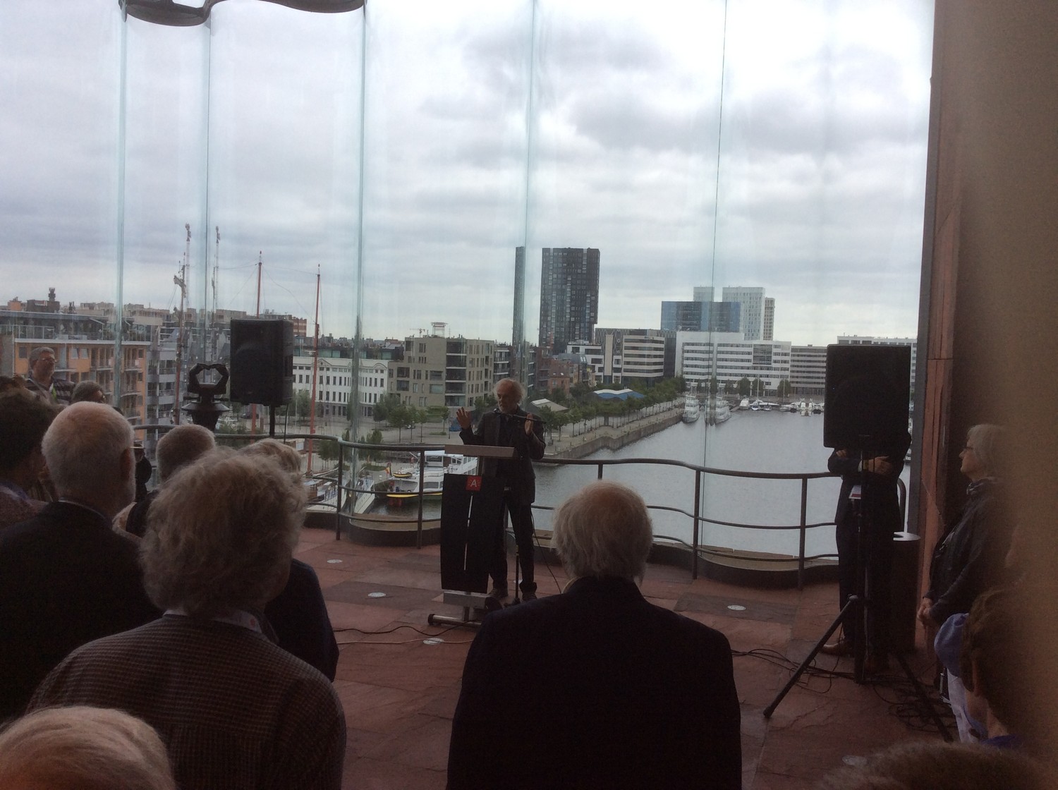
 The opening ceremony was held in AMUZ on Sunday 12 July and included speeches by Inge Schoups (Antwerp city archivist),
Tony Campbell (chairman of Imago Mundi Ltd.), and Guest speaker Manfred Sellink, general director of the Royal Museum of Fine Arts Antwerp, about Antwerp and cartography in the 16th century – a splendid marriage; with musical interludes by Clari Cantus.
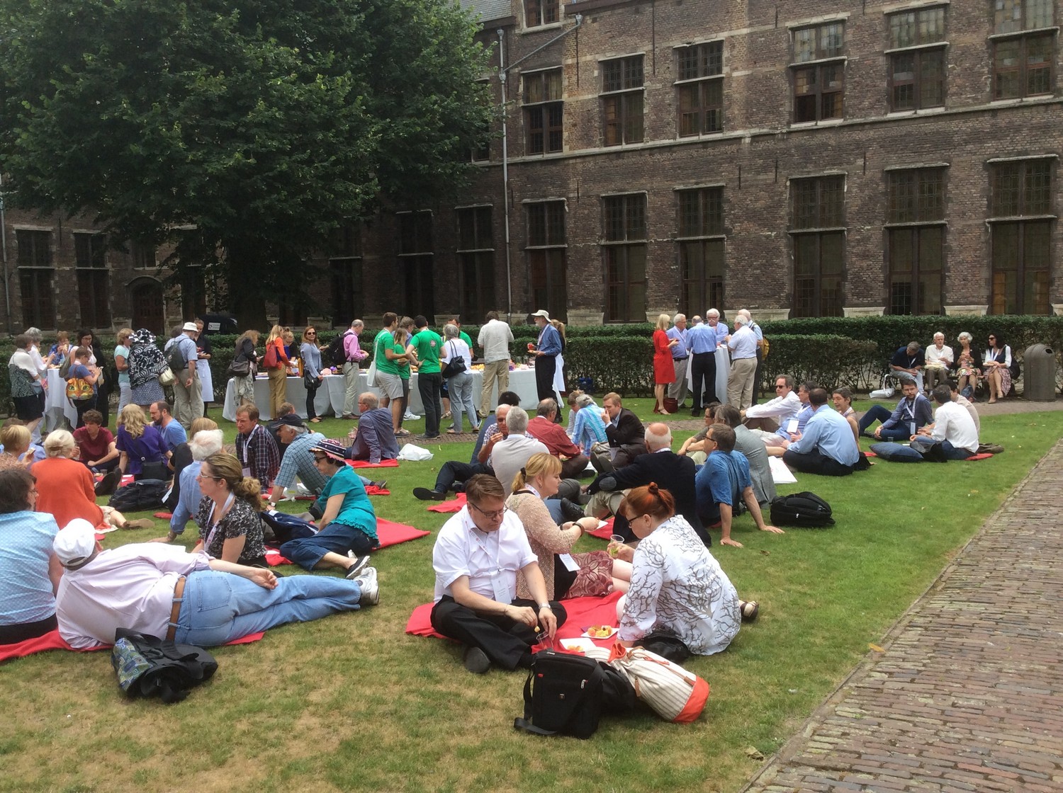
On Monday there was a reception at the Antwerp City Hall. On Wednesday was an informational session
followed by an aperitive to celebrate the publication of vol. 6 of The History of Cartography.
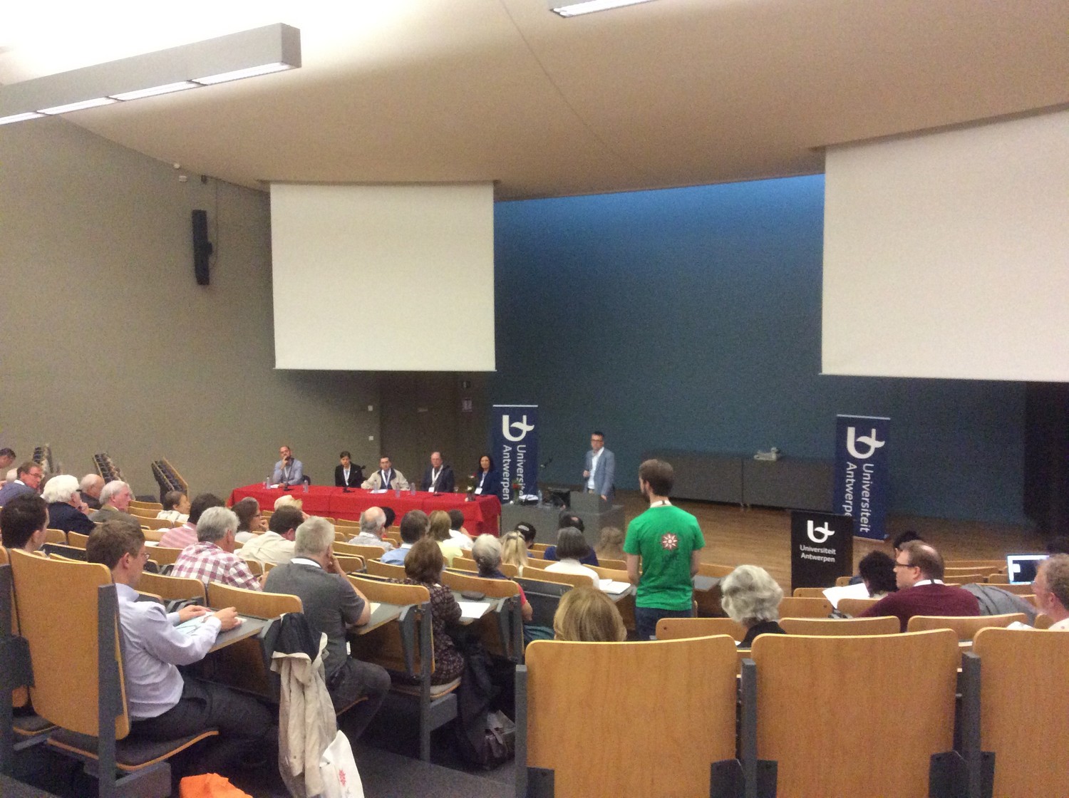
The conference was held in the Aula Rector Dhanis of the University of Antwerp. The main coordinator was Joost Depuydt.
A total of 230 people attended the conference.
Pre-conference meetings on Saturday 12 July were the Meeting of the International Society of Curators of Early Maps (ISCEM) and the Annual General Meeting of the International Society for the History of the Map (ISHMap).
The farewell dinner was in the FelixArchief.
The post conference tour went to the Mercator Museum (Sint-Niklaas) and the University Library (Leuven).
Conference website (through Internet Archive)
Fotogallery on Flickr
Conference themes
Theatrum orbis terrarum – theatre of the world – in Four Dimensions
The 26th International Conference on the History of Cartography is organized under the main heading ‘Theatre of the World’. Inspiration was derived from the title of the very first modern atlas, which was published in 1570 by the Antwerp mapmaker Abraham Ortelius (1527-1598).
Ortelius used the theatrum mundi metaphor which was a dominant image in Western thinking. The world of the stage, of roles, masks, parts to play has been one of the most enduring ways of speaking about life and the world we live in. This metaphor also inspired famous writers. “All the World’s a Stage” is the opening phrase of a monologue from Shakespeare’sAs You Like It, performed at the Globe Theatre. The Dutch poet Joost van den Vondel put it as “De wereld is een schouwtoneel”, while Calderón de la Barca titled one of his plays El gran teatro del mundo.
The four theatrical dimensions Space, Time, Imagination and Spectacle cover more specific aspects of the history of cartography.
space
- Mapping the city/metropolis
- Maritime maps
- Exploration maps
- Atlas production
time
- Mapping the past: historical maps and atlases
- The history of longitude
- Prime meridians
imagination
- Mapping mythical and imaginary places
- Artistic decoration of maps
- Thematic mapping
- Map projections: the earth in two dimensions
spectacle
- Unlocking the treasure-houses of map collections to a large audience
- Maps in all dimensions: globes, large wall maps, tiny maps in almanacs, …
- Showing status: the use of maps for promotional reasons
… and variety
- Any other aspect of the history of cartography
Exhibitions
Six exhibitions were prepared in conjunction with the conference:
- MAS – The World in a Mirror. The Earth’s surface area is 510 million km². For centuries, humans all around the world have tried to make Earth’s massive size comprehensible in a smaller format, namely in maps of the world.
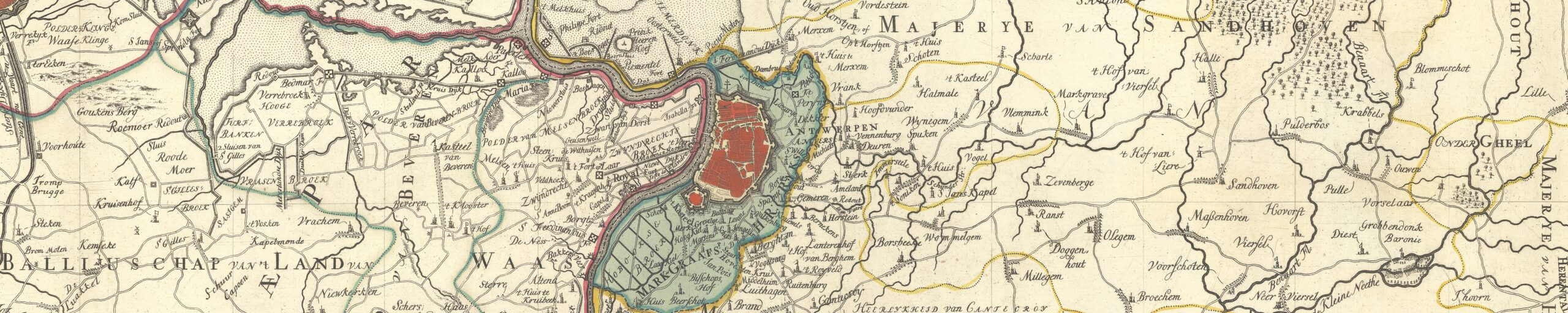
- Museum Plantin-Moretus – Drawing the City. In the sixteenth century, Antwerp developed into an international commercial capital. The city’s appearance changed very quickly. Using views of the city, maps and historical prints, the exhibition follows Antwerp’s varying fortunes during this turbulent period.
- Hendrik Conscience Heritage Library – The Seven Seas. This exhibition will show highlights in the evolution of maritime cartography in the Age of Sail, based on nautical atlases and a recently restored pair of Blaeu globes.
- Rockoxhuis – Abraham Ortelius under the spell of Classical Antiquity. With the help of his celebrated museum collection and his collection of coins, Abraham Ortelius (1527-1598) reconstructed ancient times in his Parergon, a collection of historical maps.
- University Library Antwerp & FelixArchief – Geographical Initiatives in Antwerp (late 19th century). The very first International Geographical Conference (1871) took place in Antwerp. The people behind this conference were also the founding fathers of the Royal Antwerp Geographical Society (1876).
- FelixArchief – Pearls of Surveying. The archives of the city and its OCMW (Social Welfare Agency) contain several meticulously hand-drawn land-ownership maps.
Papers
Photos and biographical information each presenter and abstracts of all papers in English were provided in a printed program, that also on-line available was.
Program and abstracts (PDF file)* = not read, abstract in program book.
Session 1: Mapping the city. chair: Piet Lombaerde.
- Dávid Derzsenyi (HU). Making knowledge in the mirror of Rome: Isaac Vossius’ copy of the Speculum Romanae Magnificentiae
- Jean-Marc Besse (FR) New sight, old sites: editing Italy in the Civitates orbis terrarum
- Stéphane Demeter & Cecilia Paredes (BE). Gilles van der Hecken’s map of Brussels (1535): exploring the centrality of pre-modern city spaces
- Marc Muylle (BE). Does Antwerp’s ‘oldest’ city map and related 16th-century bird’s-eye views have a common precursor?
Session 2: World views. Chair: Tim Soens
- Klaus Geus & Irina Tupikova (DE). Explaining the errors in Ptolemy’s world map
- Cornelia Dreer (DE). The Polychronicon maps: mappae mundi and memorization
- Thomas Horst (PT). New aspects to the world maps by Diogo Ribeiro: historical background and reception
- Julien Bérard (DE). Medieval world views and early modern cartography: the Theatrum orbis terrarum (1570 onwards) of Abraham Ortelius
Session 3: Map-makers of the 16th century. Chair: Jean-Marc Besse
- Karen De Coene (BE). Back to the first Lafreri’s? Historical network analysis and the early Italian composite atlas
- Hugo Decleir (BE). “In what place, therefore, lies that point, which the magnet so greatly seeks?”
- Joaquim Gaspar & Henrique Leitão (PT). Revisiting Mercator’s world map of 1569: an assessment of navigational accuracy
- Dirk Imhof (BE). The distribution of individual maps by Ortelius via the Plantin Press after 1612
Session 4: Map use. Chair: Carme Montaner
- Linda Rui Feng (CA). What the map readers saw: writing and cartography in Tang dynasty China (618-907 CE)
- Maïka De Keyzer & Tim Soens (BE). Consuming maps and producing space: explaining regional variations in the reception and agency of cartography
- Quentin Morcrette (FR). Individuality on the map
Session 5: Mapping in times of war. Chair: Catherine Dunlop)
- Marian Coman (RO). Theatrum belli: the Ottoman-Habsburg Long War (1591-1606) and the making of a cartographic genre
- Valeria Manfrè (ES). Making war and maps: cartographic representation through the atlas of the Marquis of la Mina (1717-1720)
- Peter Vujakovic (GB). “All the world’s a stage”: maps as spectacle in reporting of threat discourse in the 20th century
Session 6: Borders and frontiers. Chair: Petra Svatek
- Mirela Altić (HR). Dalmatia and the southern Ottoman borderland in the eyes of Jan Janssonius
- Madalina Veres (US). An untraceable border: cartographic projects during Habsburg-Parmesan negotiations (1750-1790)
- Catherine Dunlop (US). Mapping Alsace-Lorraine: a story of cartographic exchange between France and Germany
- André Reyes Novaes (BR). Cartographic language and geopolitical discourses on Brazilian borders
Session 7: State mapping. Chair: Francis Herbert
- Hirotada Kawamura (JP). On the general maps of Japan compiled by the Tokugawa shogunate (1608-1867)
- Kory Olson (US). A new way of seeing France: the case of ‘Paris’ from the Service géographique’s 1906 Carte de France
- Zef Segal (IL). Geopolitics and the territorial state: the representation of new states in German atlases (1800-1939)
Session 8: Maritime charts. Chair: Junia Furtado
- Isabella Alexander (AU). Entering uncharted waters: maritime charts and copyright law in 18th-century Britain
- Maria Gussarsson (SE). The maritime atlas production of Gustaf af Klint: a unique chapter in Swedish cartographic history
- Yannan Ding (CN)., The Paracels: cartographic fault and the transmission of geographical knowledge (c. 1800)
Session 9: Map iconography. Chair: Mark Monmonier
- Ariel Tishby (IL). Arnold and Nicolaes van Geelkercken’s map of the Holy Land: an iconographical study of a rare wall map
- Radu Leca (GB). The versatility of ship iconography on a 17th-century Japanese map
- Max Moerman (US). The European airship and the Buddhist world map
Session 10: Historical maps in historical GIS. Short presentations and panel discussion, chair: James R. Akerman
- Kimmo Katajala & Antti Härkönen (FI). Mapping the urban spaces of a border town: Vyborg (Viipuri) from the 1630s to the present
- Ellen Janssens & Iason Jongepier (BE). Historic city maps and GIS: challenges and opportunities, using ‘GIStorical Antwerp’ as a test-case
- Juan Martín Giraldo, Stefania Gallini & Omar Ruiz (CO). Mapping the agricultural past of the Cundiboyacense high plateau, Colombian Andes mountains (18th – 20th centuries)
Session 11: Aspects of 20th-century mapping. Chair: Isabella Alexander
- Mark Monmonier (US). Inventors and cartographic creativity: map-related U.S. patents (1840-2012)
- Benjamin Sacks (US). Airwave cartography: mapping British radio relays and propaganda power (1947-1991)
- André Ourednik (CH). The automobile world and the future of space: a cartographic perspective
Session 12: Mapping the malleable (special session) Chair: Matthew Edney
- Stephen Hornsby (US). Picturing the world: American pictorial maps (1920-1970)
- Katariina Kosonen (FI). Passive resistance and raging propaganda: pictorial maps in the Finnish popular press (1900-1942)
- Kathryn Edney (US). Mapping transitory events: Al Hirschfeld’s summer stock caricatures of the 1930s and 1940s
Session 13: Unlocking the treasure-houses of map collections. Short presentations and panel discussion, chair: Nick Millea
- Martijn Storms (NL). The best of three worlds: merging three digital map collections
- G. Salim Mohammed (US). Unleashing and exposing Stanford’s historic maps: Project Ortelius & digital philanthropy
- Leif Isaksen, Elton Barker, Rainer Simon & Pau de Soto Cañamares (GB). Connecting cartography: Recogito and the Pelagios Project
Session 14: Late medieval and early modern maps. Chair: Tony Campbell
- Chet Van Duzer (US). “Let there be multispectral light”: imaging the c. 1491 world map by Henricus Martellus at Yale
- Ellen Klompmaker (BE). The Scheldt maps of c. 1469 and 1505: regional and local cartography in late-Medieval Flanders
- Daniel Shelley (PR). A study of Andrés de Morales’ map of Hispaniola of 1509 and the origins of New World cartography
- Barbara Uppenkamp (DE). Space, time and spectacle in the Rantzau Plate (c. 1587)
Session 15: Mapping new geographical knowledge across cultures. Chair: Carla Lois
- Catherine Burdick (CL). ‘Tabula Geographica Regni Chile’ (1646): early modern cartography at the Spanish Imperial periphery
- Junia Furtado (BR). The ambassador, the geographer, the writer and the discovery of South Africa’s geography (1720-1725)
- Mario Cams (BE). Cross-cultural cartography in practice: instruments and maps between Europe and China (1685-1735)
- Imre Demhardt (US). Re-discovering the Arctic: cartographic treasure troves: 19th-century German geographic journals
Session 16: Medieval European, Asian and Islamic cartography (special session). Chair: Karen De Coene
- Stefan Schröder (FI).The hybrid character of the 9th-century ‘Andalusian Map’ between Arabic and Latin cartography
- Alfred Hiatt (GB). Earth and water: rethinking the equinoctial ocean
- Hyunhee Park (US). Islamic source maps for the 1402 Korean world map
Session 17: Mapping between science and imagination. Chair: Evelyn Edson
- *Sen-hao Yang (TW). Real and imaginary: the feng-shui maps for graveyard disputes in northern Taiwan (1878-1895)
- Nydia Pineda De Ávila (GB). Lunar maps as crossroads of technology, art and natural philosophy in the mid-17th century
- Gilles Palsky (FR). The philosopher’s map: cartography, Earth theory and spirit of Enlightenment
Session 18: Bound images: maps and books since 1453 Panel discussion, moderator: Matthew Edney)
Session 19: Collecting maps. Chair: Martijn Storms - George Carhart (IE)., Maps and their place in the Enlightenment library: a consideration of the Fagel Library (1600-1802)
- Tom Harper (GB). Institutional collecting of early maps during the 19th century
- Sjoerd de Meer (NL). Collecting for the nation? Frederik Casparus Wieder and Willem Anton Engelbrecht
- Diana Lange (DE). Mapping Tibet in mid-19th century: The British Library’s Wise Collection
Session 20: Cartographic forms and shapes. Chair: Mirela Altić
- Andréa Doré (BR). Let’s imagine a butterfly: animals, plants and anthropomorphism in geographical descriptions
- Markus Heinz (DE). German maps in pieces: a contribution to the early history of the jigsaw puzzle
- Petra Svatek (AT). Nature paintings and thematic cartography: early panoramic maps in Austria (1848-1884)
- Patrick Ellis (US). The Panstereorama: plans-reliefs as public spectacle (1760-1851)
Session 21: Inspiration and imagination. Chair: Jordana Dym
- Inge Panneels (GB). Why do artists use maps?
- Charlotta Forss (SE). The Swedish Atlantis: Olof Rudbeck the Elder and early modern usages of cartography
- Carla Lois (AR). Quinta pars, terra incognita or imaginary place? Verisimilitude and mapping of the southern continent
Poster Presentations
Theme 1: Military mapping
- Merve Senem Arkan (HU). Story of a city under siege (1570-1571): Stephano Gibellino’s map of Famagusta
- Jeroen Bos (NL). Agent of empire: the dual role of colonial military engineer Carl Friedrich
- João Garcia, Enric Mendizàbal & Francesc Nadal (PT). The Roussillon campaign (1793-1795): Portuguese military cartography of Catalonia
- Martin Davis (GB). Soviet military mapping of the UK and contemporary Ordnance Survey mapping: a comparative analysis
Theme 2: Maritime charts
- Emmanuelle Vagnon (FR). Describing and illustrating maritime spaces: an illuminated portolan text at the court of François I
- Marvin Falk (US). The development of standards for the nautical charts of Russian hydrographers
Theme 3: Cartographic discoveries
- *Dae-Young Jung (KR). A Study of the old Korean map ‘Ch’onhajegukto’ in the College de France.
- Antti Jakobsson, Leena Miekkavaara & Istvan Kecskemeti (FI). A rare printed map of 12 globe gores: one of the first maps containing the name ‘America’
- Vera Dorofeeva-Lichtmann (FR). A recently identified late 18th – early 19th centuries manuscript map of the Chinese Empire in Göttingen
- Catherine Hofmann & François Nawrocki (FR). Early and modern globes in French collections
Theme 4: Cartography across cultures
- Sarah Molina (US). Boundaries and frontiers: the Earthly and the Fantastic in al-Idrisi’s Mediterranean
- Ekaterina Simonova-Gudzenko (RU). Gyoki-type maps as the essential basis of visual representation of Japan
Theme 5: Mapping the city
- Keti Lelo & Valerio Baiocchi (IT). Metric accuracy of 18th- and 19th-century maps of Rome
Theme 6: Toponyms on early maps
- Gilsun Oh (KR). Redrawing of the five most important maps in the Song dynasty
Theme 7: Map decoration
- Jiajing Zhang (CN). The spreading and application of the Western contour method in modern China
- Nataliya Vinogradova (RU). Peoples of the Russian Empire: how they appear on old Russian maps
- Liudmila Zinchuk (RU). Artistic design of Russian printed maps of the 18th century
Theme 8: Mapping new geographical knowledge
- Sabrina Guerra Moscoso (EC). Francis Drake and the cartography of the New World
Theme 9: Aspects of European cartography
- Dániel Segyevy (HU). Map twins: the 1:200,000 ethnographical maps of Hungary (1918) in the shadow of Trianon
- Lucyna Szaniawska (PL). Maps and atlases of Joachim Lelewel (1786-1861) accompanying his historical studies
Theme 10: Showing status
- Alexander Kent (GB). Spectacle and status: the evolution of decoration in English estate maps (1630-1730)
- Luis Urteaga & Concepción Camarero-Bullón (ES). The last topograhical survey of the royal site of Aranjuez (1864-1868)
- Paola Sereno, Maria Luisa Sturani & Paola Pressenda (IT). The Theatrum Sabaudiae as a part of a representation system celebrating the sovereign’s power
Reports
Imago Mundi 68,1 (2016), 88-91 (Petra Svatek)
The Portolan 94 (Winter 2015), 38-42 (Bert Johnson et al.)
+