24th International Conference on the History of Cartography
24-я Международная Конференция по Истории Картографии
10-15 July 2011 — Москва (Moscow)
 Multiculturalism in the History of Mapmaking
Chief organizer was the Russian State Library with as main coordinator Ludmilla Zinchuk. Among the co-sponsors there were also: State Historical Museum, Russian National Library, Institute of Geography, The S. I. Vavilov Institute of History of Science and Technology, Institute of World History, and The Nicholas Roerich International Centre-Museum.
The conference themes were:
- Cartographic Encounters: Exploration and Mapping.
- State, Maps, Society.
- Innovation and Tradition in Enlightenment Cartography.
- Mapping the Sacred.
- and any aspects of the history of cartography.
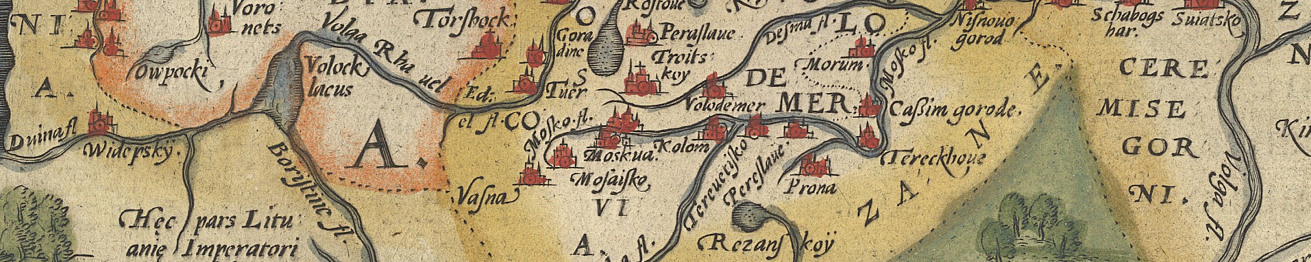
In 2011 the 300th anniversary of the great Russian scientist Mikhail Lomonosov (1711-1765) was celebrated. As head of the Geographical Department of the Academy of Sciencies he contributed significantly to the development of Russian cartography. A paper session was included on issues relating to his cartographic achievements.
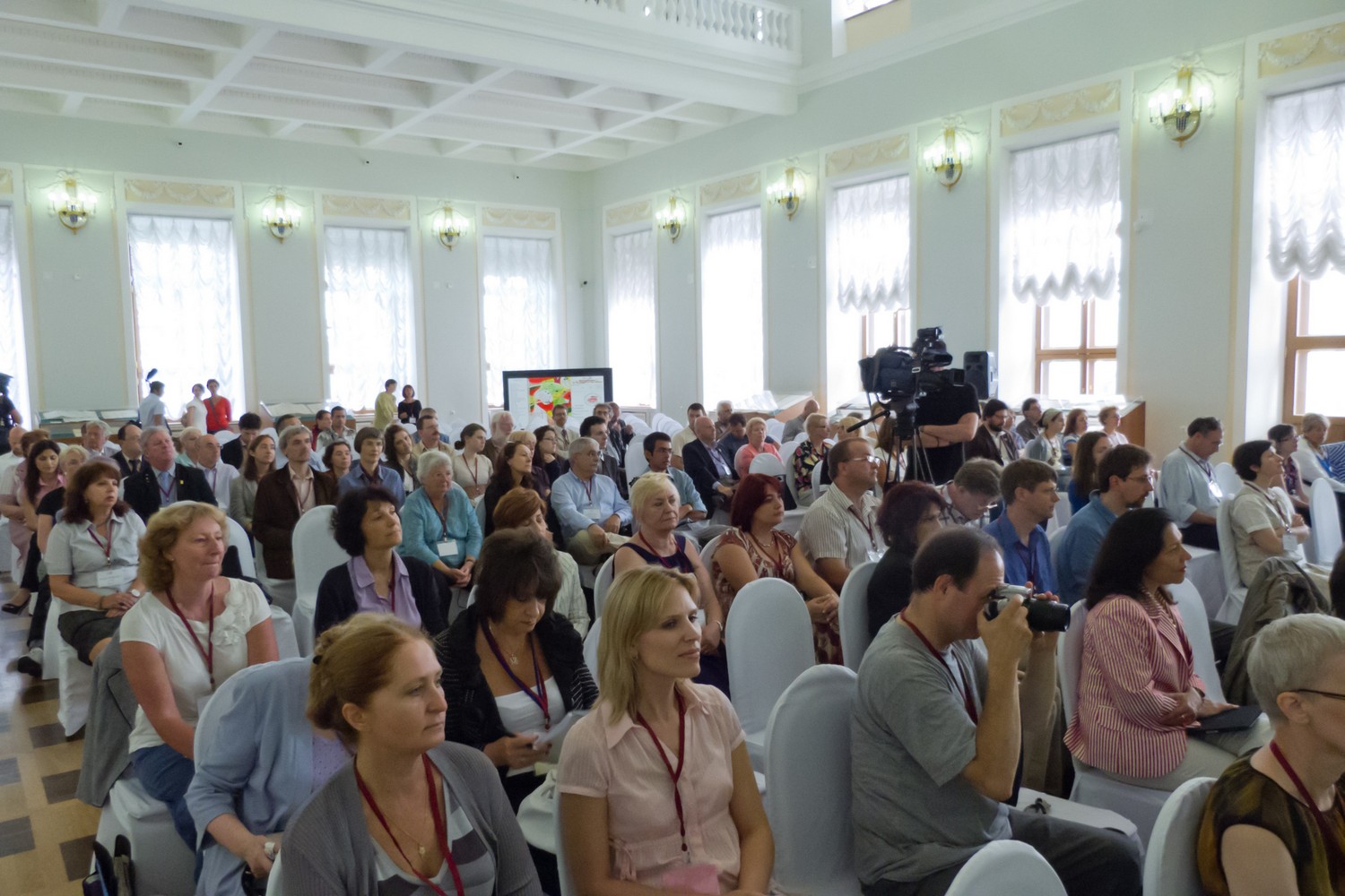
The conference was held in the Pashkov House of the Russian National Library. A total of 151 people attended the conference.
A total of 51 papers and 38 posters were presented according to the final program (the lists below include all papers from the program book). Biographical statements for each presenter and abstracts of all papers in English were provided in a printed program.
Four exhibitions were prepared in conjunction with the conference:
- “Russian map: from a drawing to engraving” – from the collection of the Map Division of the Russian State Library – in the Pashkov Dom.
- “A selection from the manuscript charts” – from the collection of the Manuscripts Department of the Russian State Library – in the Pashkov Dom.
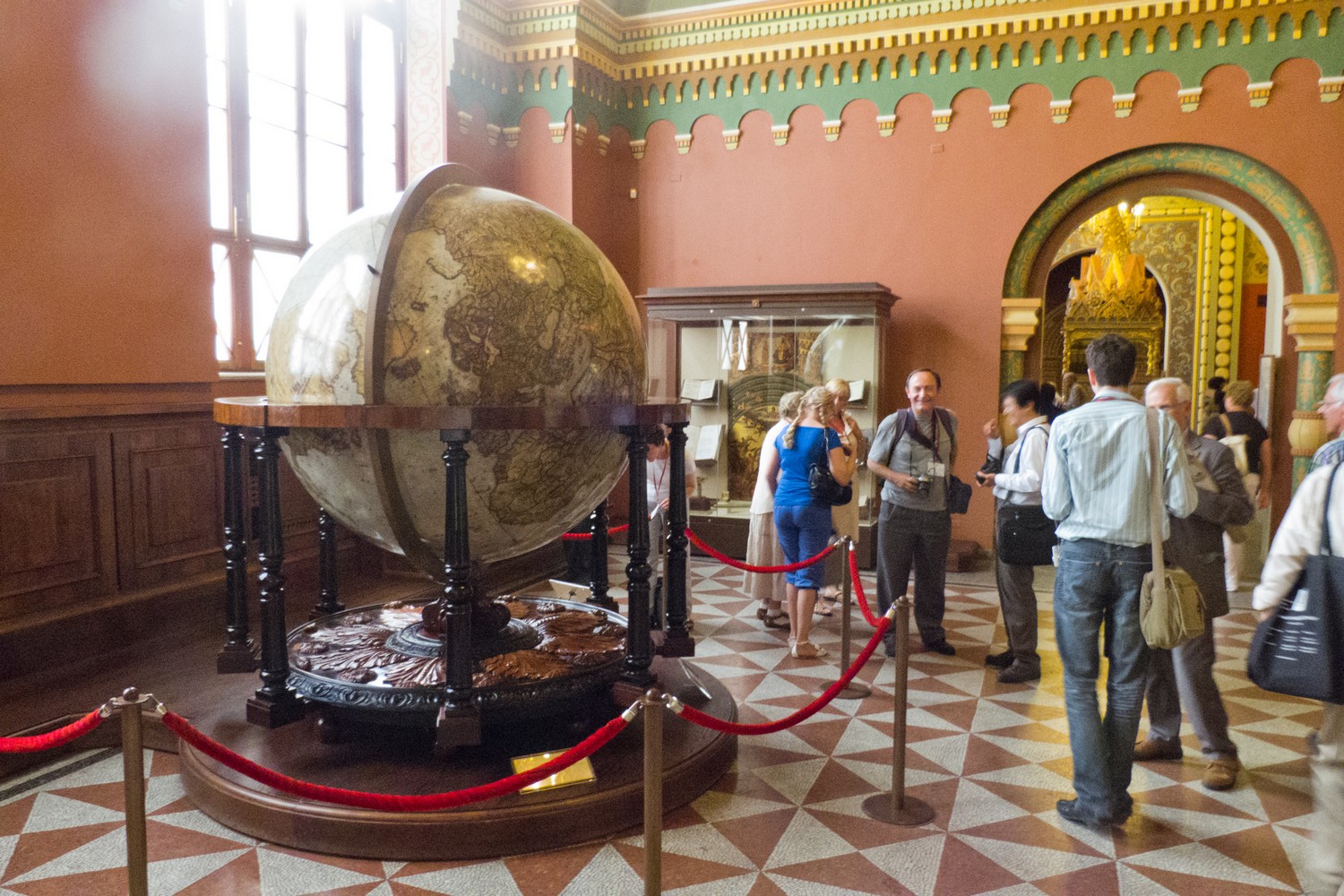
- A selection from the Oriental Centre Collection of the Russian State Library – in the Palace of the Oriental Centre.
- A selection of Russian maps from the collection of the State Historical Museum.
- Ancient maps from the collection of the National Library of Russia (Sankt-Petersburg, during the Three-day Post-conference tour).
Pre-conference meetings on Saturday 9 July were the Round Table discussion ‘History of Cartography and National Geographic Societies’ chaired by Alexey Postnikov and the ISCEM meetings.
An open forum on Monday gave an opportunity to discuss the proposed International Society for the History of the Map and any other related issues. It was chaired by Zsolt Tök;rök;k.
On Tuesday there was a general discussion, chaired by Catherine Delano-Smith and Matthew Edney.
The three day post conference tour went to Saint Petersburg.
The farewell dinner was in the RAPA hotel.
Conference website (web archive)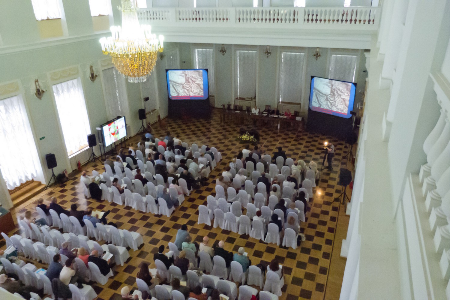
Papers
* = not read, abstract in program book.
Session 1: Reconnaissance mapping. Chair: Kenneth Nebenzahl.
- Mary Pedley (US). Cartographers without Borders: the pan-European development of reconnaissance mapping in the 18th century.
- Christopher Jacob Ries (DK). Landscapes of North Greenland: the Terrain Intelligence of William E. Davies 1957-1960.
- Mirela Altic (HR). Russian cartographic activity in Montenegro.
Session 2: Military cartography. Chair: Sarah Tyacke.
- Harrie Teunissen (NL). Topography of terror: maps of the Warsaw Ghetto.
- Alexander J. Kent (GB), John Davies. Soviet military mapping of towns and cities in the British Isles during the Cold War.
- *Igor Zaharenko (RU). The history of the Far Eastern Border Area of Russia. (middle XVII c. – beginning XX c.).
Session 3: Mapping the state borders. Chair: Mary Pedley.
- Ana Cristina Roque (PT). Mapping Mozambique–Transvaal border in the late 19th century.
- Catherine Dunlop (US). Mapping language borders: the case of nineteenth-century Alsace-Lorraine.
- Agnes Laba (DE). German Cartography and the discussion of the Eastern Borders of the Weimar Republic (1920s).
- *Michael Jones and Venke Åheim Olsen (NO). The cartographical and historical background for the demarcation of the Norwegian-Russian boundary in 1826 (Paper is presented at the 25th ICHC).
-
Session 4: Mapping Otherness. Chair: Paul Harvey.
- Heather Winlow (GB). Gridding the nation: US State Cartographies and Indian exclusion, c. 1850-1940.
- Christina Connett (US). Cartography and the Catholic Agenda of Antonio de Herrera y Tordesillas in the Historia General de los hechos de los Castellanos en las islas y tierra firme del Mar Oceano.
- Tim Wallace (US). Tacks and pins: a history of map interaction through annotation devices.
Session 5: Maps as demarcative tools. Chair: Francis Herbert.
- Kathleen Pullum (GB). Charting the Transfrontier: exploration, espionage, survey and boundary making in late-19th-century Central Asia.
- Konstantin Zaikov (NO). Russian and Norwegian maps as the instrument for the border spatial image creation in Northern Lapland.
- Pilar Chias (ES). Local cartography in Medieval Spain: two cadastral maps of the mid 13th century.
- Sen-Hao Yang (TW). A new perspective on classifying the traditional Chinese maps: context matters!
Session 7: History of Russian cartography. Chair: James Akerman.
- Alexey V. Postnikov (RU). Russian manuscript maps in national archives and libraries: problems of their accessibility, physical condition and use.
- Leonid S. Chekin (US). Sixteenth-century Russian cartography: new evidence from illustrated manuscripts.
- Alexey Sobisevich (RU). The biography of “Peter’s cartographer” Akim Kleshnin.
Session 8: Maritime session 1. Chair: Catherine Delano-Smith.
- Joaquim Alves Gaspar (PT). Blunders, errors and entanglements: scrutinizing the Cantino planisphere with a cartometric eye.
- Maria Gussarsson Wijk (SE). The development of Swedish sea chart production: a military – civilian history.
Session 9: Maritime session 2. Chair: Matthew Edney.
- Cyrus Ala’i (GB). The Russian (Van Verden) Chart of the Caspian Sea of 1720.
- Vladimir Bulatov (RU). Prehistory of the Russian Hydrographic Service (program book in session 8).
- *Antonio Sánchez (ES). The “Andrada Project” (1641). New Maps of Portugal in the Spanish National Library.
- *Luis A. Robles Macias (ES). The longitude of the Mediterranean: historical evolution.
Session 10: Enlightment cartography. Chair: Peter van der Krogt.
- Matthew H. Edney (US). Cartography.s Scientific Reformation in the Enlightenment: a historiographic analysis.
- Klaus Bäumler (DE). Mapping in Europe . Mapping for Europe: a panorama of cultural history across four centuries: aspects of the transfer of science.
- Karen De Coene, Thérèse Ongena, and Soetkin Vervust (BE). How accurate can a legend be? The case of the Ferraris map.
Session 11: Innovations and Traditions. Chair: Günter Schilder.
- Franz Reitinger (AT). French wall maps with historiated borders: a new map type in the eighteenth century.
- Zsolt G. Török (HU). Revisiting Rosselli’s ‘bottega’: cosmography, art and printing in a Renaissance workshop.
- Ariel Tishby (IL). Ancient Jerusalem and Sacred Places (1858): a study of one of the largest (and forgotten) views of Jerusalem.
Session 12: Users and clients. Chair: Joaquim Alves Gaspar.
- Tom Harper (GB). Chopped-up and cherished: the map collection of an early eighteenth century book dealer.
- Julie McDougall (GB). The development and publishing history of school atlases and British geography, c. 1880 – c. 1930.
- Sjoerd de Meer (NL). Globes and maps as a symbol of prestige, grandeur and advertisement : the point of view of the shipping company.
- Bo Lundström (SE). The map as a piece of splendour and propaganda – from the Swedish Era of Great Power.
Session 13: New World 1. Chair: Sjoerd de Meer.
- Andréa Doré (BR). The role of Brazil in the Habsburg Empire cartography: knowledge and coastline occupation.
- Roberto Chauca (US). A Cartographic confrontation: Jesuit and civil mappings of Western Amazonia by the 1760s.
- Carla Lois (AR). Translating geographies: foreign maps and international scientific networks in Argentinean National Cartography, 1853-1939.
Session 14: New World 2. Chair: Göran Bäärnhielm.
- Jean-Louis Glénisson (FR). French cartographers in the West Indies in the 18th century: designing and describing a new space.
- Mitia Frumin (IL). Maps of Jerusalem in Russian pilgrimage literature of the 1830s.
- Chet Van Duzer (US). Insights into the process of commissioning medieval maps.
Session 15: Cartographic Encounters 1. Chair: Alexander Kent.
- *Edwin Okhuizen (NL). Mercator’s worldmap of 1569 and the virginal Arctic islands of “santi & Rustene”: a first time full interpretation of their origin and true meaning.
- Ekaterina K. Simonova-Gudzenko (RU). The first map of Japanese Archipelago published in Russia in the early XVII century and its sources.
- Paula van Gestel-van het Schip (NL). The Aral Sea on West-European maps.

Paula van Gestel Session 16: Cartographic Encounters 2. Chair: Henrik Dupont.
- *Angelo Cattaneo (PT). European, Chinese and Japanese Manuscript World Cartography in Namban Japan around 1600: Convergences, Divergences and Synthesis.
- Vera Dorofeeva-Lichtmann (FR). Representations of the ‘Western Region’ through the history of Chinese cartography and the transmission of Chinese cartographical images into Western maps of China.
- *Nachiket Chanchani (US). Home and the World: Interrogating Cartographic Wall Paintings in the Western Himalayas.R. Keller (Embassy of the Netherlands). Presentation of the Russian edition of Nicolaas Witsen’s book Northern and Eastern Tartaria.
Session 17: Constructing and production. Chair: Paula van Gestel-van het Schip.
- Imants Lavins (LV). The reconstruction of the World map based on al-Bīrūnī’s tables in “Kitāb Al Qānūn al-Mas’ūdī”.
- Amy Prior (GB). The cartographic representation of Africa, 1880.1915: J.G. Bartholomew, H.H. Johnston and the print history of African mapping.
- *Jean-Marc Besse (FR). The world assembled: analysis and reconstitution of a French copy of Lafreri’s composite atlas (BNF, Paris).
-
Session 18: Mapping and geographical imagination. Chair: Carla Lois.
- Robert J. King (AU). Havre de Sylla on the Jave la Grande of the Dieppe Maps.
- Karen Pinto (US). In program book: Gift for a prince/ss: an Umayyad Mappamunde; Presented was a different paper: Searchin’ his eyes, lookin’ for traces: Piri Reis World Map of 1513 & its Islamic Iconographic Connections.
Session 19: 300th anniversary of the great Russian scientist Mikhail Lomonosov (1711-1765). Chair: Alexey Postnikov.
- Olga A. Alexandrovskaya (RU). Cartographic works by M.V. Lomonosov.
- Vladimir N. Kalutskov (RU). The tradition of mapping of Lomonosov.s Homeland.
- Natalia A. Alekseenko (RU). Life, science and creativity of Mikhailo V. Lomonosov in the cartographic visualization.
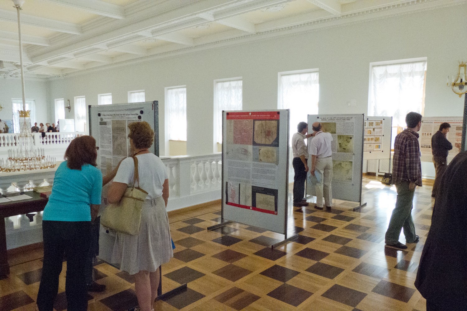 Session 6: Poster Presentations
- Cesar Adolfo Ávila Royert (CO). Territorial reference and imaginary cartography.
- Paulo Afonso (DE). Mercator was not wrong: Psitacorum Regio – a solution for an old mystery, finally!.
- *Miguel Aguilar-Robledo and Enrique Delgado-López (MX). Cartography of the 1786 Intendancy Ordinances: the case of San Luis Potosi.
- Göran Bäärnhielm (SE). Renat’s Kalmyk Maps: a reassessment.
- Zsombor Bartos-Elekes (RO). The history of map making in multicultural states and societies (sample area: Transylvania).
- *Anatoly M. Belyaev (RU). The cartographical method of research of the development process of Moscow relief.
- *Sofiane Bouhdiba (TN). The iconographic tradition in the Arab cartography in the Medieval Mediterranean.
- Alexei M. Boulatov (RU). On the early history of Kamchatka’s maps.
- Concepción Camarero Bullón (ES). Cadastral urban cartography of Madrid and Granada (19th century).
- George S. Carhart (US). The Euro-centric world map.
- *Enrique Delgado-López and Miguel Aguilar-Robledo (MX). The cartography of the Mexican Conduenazgo: Eastern San Luis Potosi State, from the late 19th c. to the early 20th c.
- Sebastian Diaz Angel (CO). The Dutch vs. the Iberians and the first printed maps of now a day Colombian territories (1584-1630).
- *Henrik Dupont (DK). Systematic sea charting of Scandinavian waters.
- Amparo Ferrer-Rodríguez (ES). Cartography of the Kingdom of Granada from the Ensenada’s Cadastre (Spain, 1750-1754).
- Borna Fuerst-Bjeliš and Laura Šakaja (HR). Morlacchia: territorialization and deterritorialization of borderland communities.
- Anton Gordieiev (UA). Area of estuary of the Dnepr on portolan-charts.
- Koji Hasegawa (JP). Between picture and survey: the transformation of urban mapping in East Asia.
- Markus Heinz (DE). Demonstration of AtlasBase (working title).
- *Iris Kantor and Joao Carlos Garcia (BR). Map trade inside and beyond Portuguese Empire (16th-18th centuries).
- *Elena N. Konovalova and Vyacheslav A. Popov (RU). Historical Atlas of Siberia by A.P. Velichko (1843).
- Galina Korzunina (RU). “Plan de la Fortresse de Königstein avec sa Nouvelle Fortification” 1734.
- *Alexander N. Krayukhin (RU). History of “The National Atlas of Russia” creation.
- Victor V. Kurlyandskiy (RU). The Chinese national cartography paradigm “Heaven, earth and all things in oneness” served as a conceptual basis for creating virtual reconstructions of 15th-century Chinese and English cultural-historical landscapes.
- Daniela Marzola Fialho (BR). A ‘Map of Porto Alegre’ (RS), Brasil, from 1839, by Luiz Pereira Dias.
- Andrey A. Medvedev (RU). The use of multimedia technologies for historical cartography needs.
- Francesc Nadal (ES). The Map of the City of Barcelona of Miquel Garriga i Roca (1856-1862).
- *Zsombor Nemerkenyi (HU). The national interests and motives in the exploration of South Africa in the 19th century.
- Tatiana Petrova, Svetlana Sviridenko, and Nikita Timofeev (RU). Geoinformation System “I.K. Cyrillov.s General Map of 1734”.
- Paola Pressenda, Maria Luisa Sturani, and Paola Sereno (IT). The circulation of map-knowledges, map-practices and mapmakers through Enlightenment Europe.
- David Alejandro Ramirez Palacios (CO). Two geographers and the overseas mapping of an Andean country: Elisee Reclus, Vergara y Velasco and the cartography of Colombia.
- Valentina I. Ryabchikova and Sergey Krivov (RU). History of opening and mappings of the northern territories of Russia by the members of the northern detachments of the Great Northern Expedition.
- *Zokirjon Saidboboev (UZ). The problems of the first stage of organization of cartographical works by the Russian Empire administration of Turkestan.
- Paula Santos and Ana Cristina Roque (PT). Geodetic field operations for cartography in Africa and the first Portuguese geodetic mission (1907-1910).
- Astrit Schmidt-Burkhardt (BE). George Maciunas’s “Atlas of Russian History”.
- Kira B. Shingareva and Bianna V. Krasnopevtseva (RU). Mapping of extraterrestrial territories: the main historical stages.
- Roman Yu. Smagin (RU). Military topographers and their role in mapping Western Siberia in XIX and the beginning of XX century.
- Rostislav I. Sossa (UA). Establishment of the State Mapping Service in Ukraine in 1918.
- Madalina-Valeria Veres (US). Putting Transylvania on the map: Cartography and Enlightened Absolutism in the Habsburg Monarchy.
- María-Jesús Vidal Domínguez (ES). Urban cadastral cartography and urban change in 19th century Madrid
Historical Museum 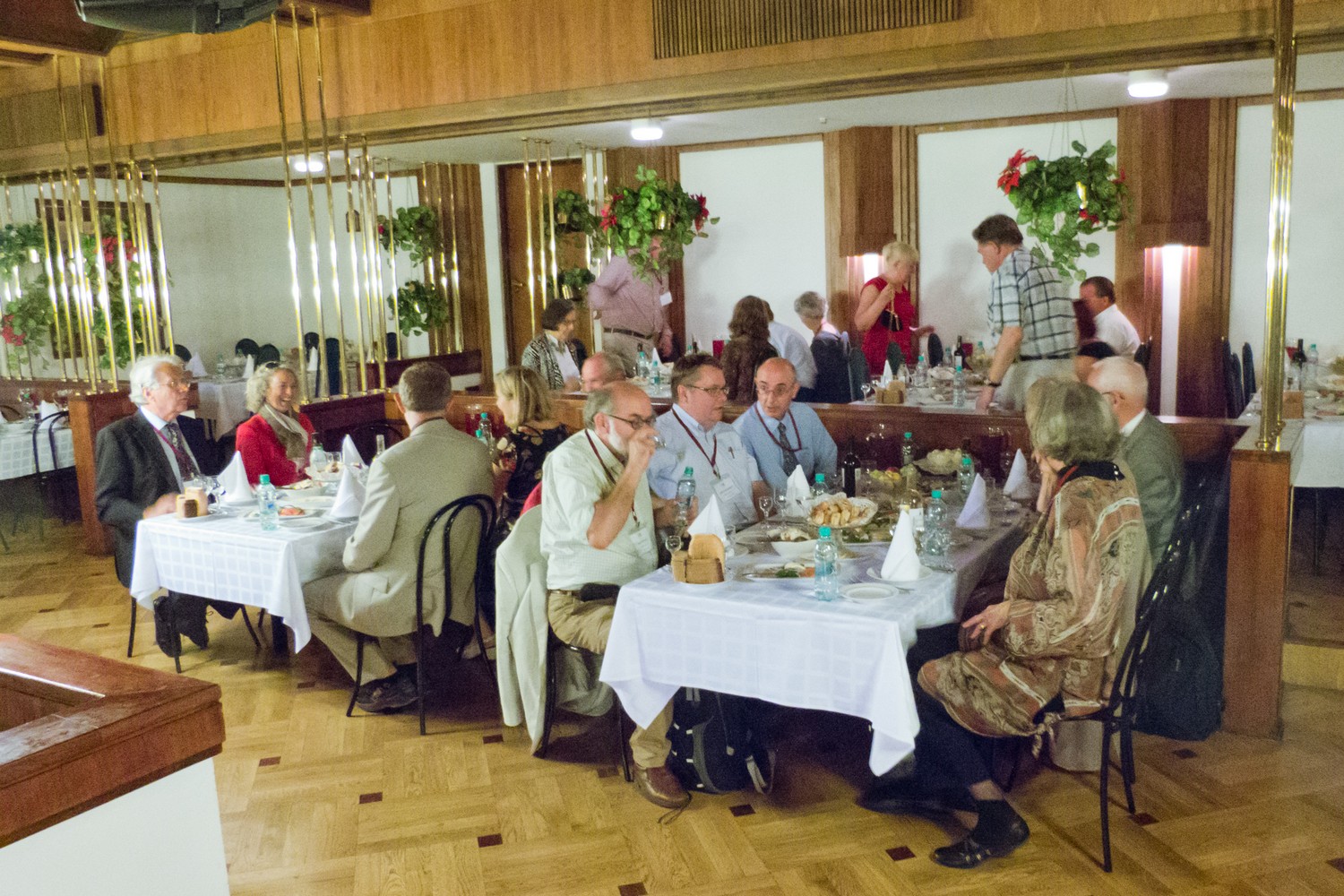
Farewell dinner in the RAPA Hotel
Reports
Imago Mundi 64,1 (2012), 101-107 (George Carhart)