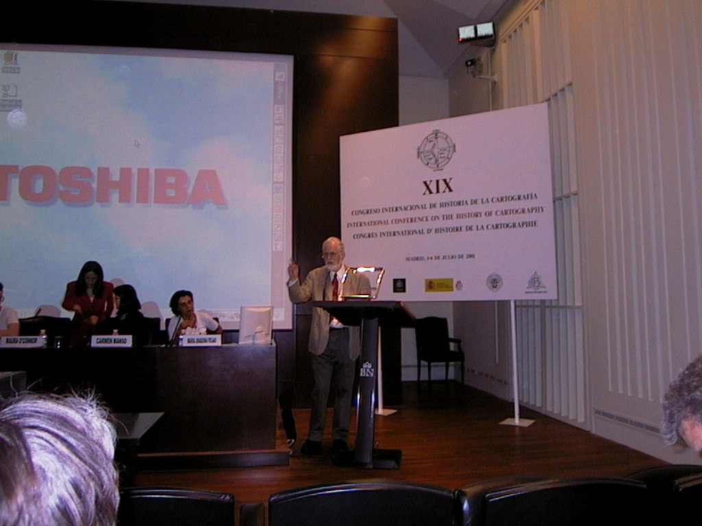
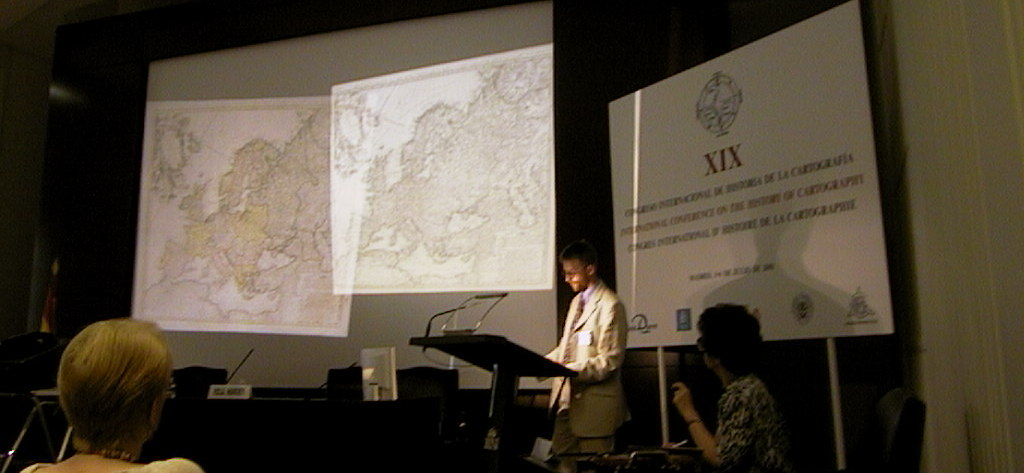
19th International Conference on the History of Cartography
XIX Congresso Internacional de Historia de la Cartografía
1-6 July 2001 — Madrid
Held in the Biblioteca Nacional de España and in the Monastery of El Escorial. Principal coordinators were Carmen Liter, Luisa Martin-Merás, Francisca Sanchis and Carmen Caro. Attendance was … and conference languages were English, French and Spanish.
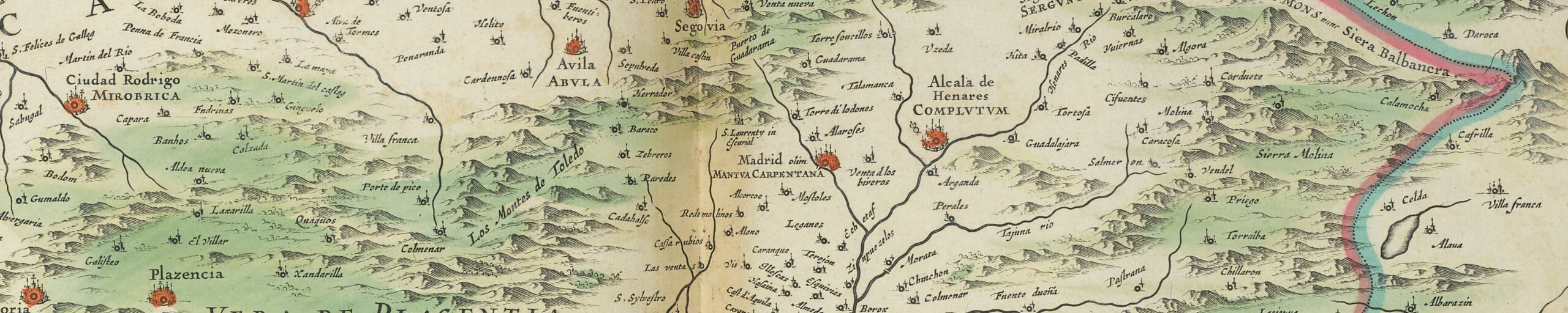
The thematic sections were “Maps and Landscape”, “Colonial Cartography”, “Mapping: Theory and Motifs”, “Cartographic Methods”, “Culture, Politics and Maps”, “Indigenous Mapping of New Spain”, “Military Maps”, “Mapping of Eastern Europe”, “Renaissance Cartography”, “Mapping Spain”, “Maritime Maps”, and “Map Publishing”.
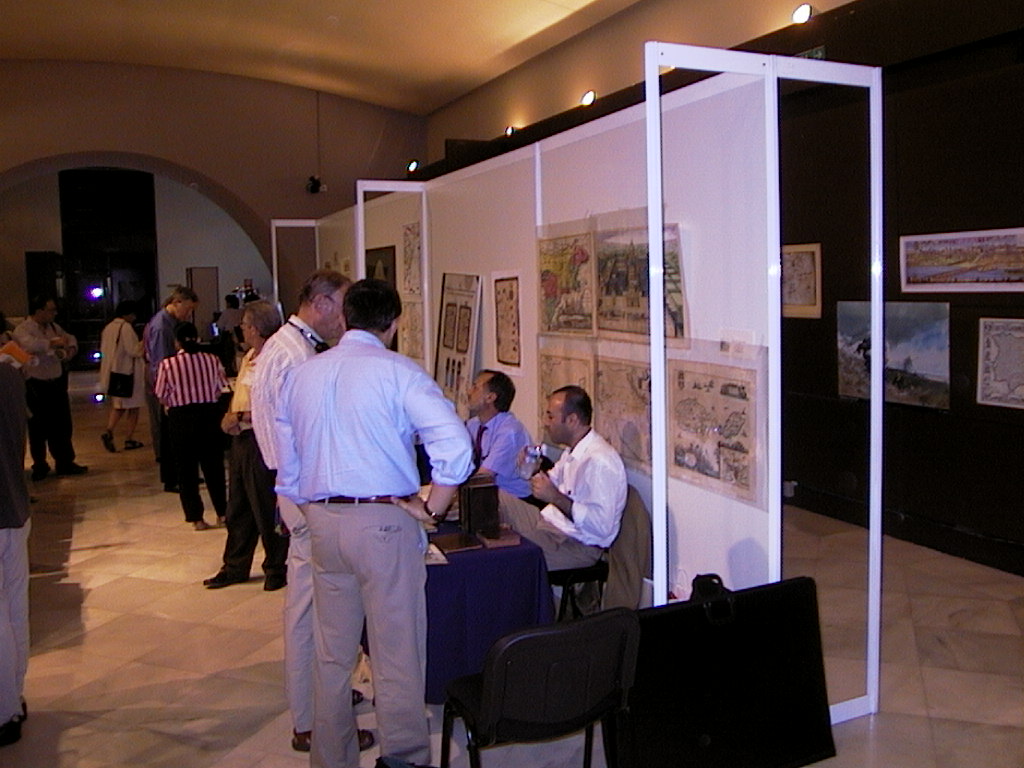
There were three exhibitions:
- “Treasures of Spanish Cartography” at the Biblioteca Nacional, (catalog: Carmen Líter Mayayo et al. (ed.), Tesoros de la Cartografía Española, Madrid 2001).
- “Geographical books in the Universidad Complutense from antiquity to the 18th century” at the Biblioteca Histórica Marqués de Valdecillas, Universidad Complutense (catalog: Carmen Crespo Tobarra, Libros de Geografía en la Universidad Complutense desde la Antigüedad hasta el siglo XVIII, Madrid 2001),
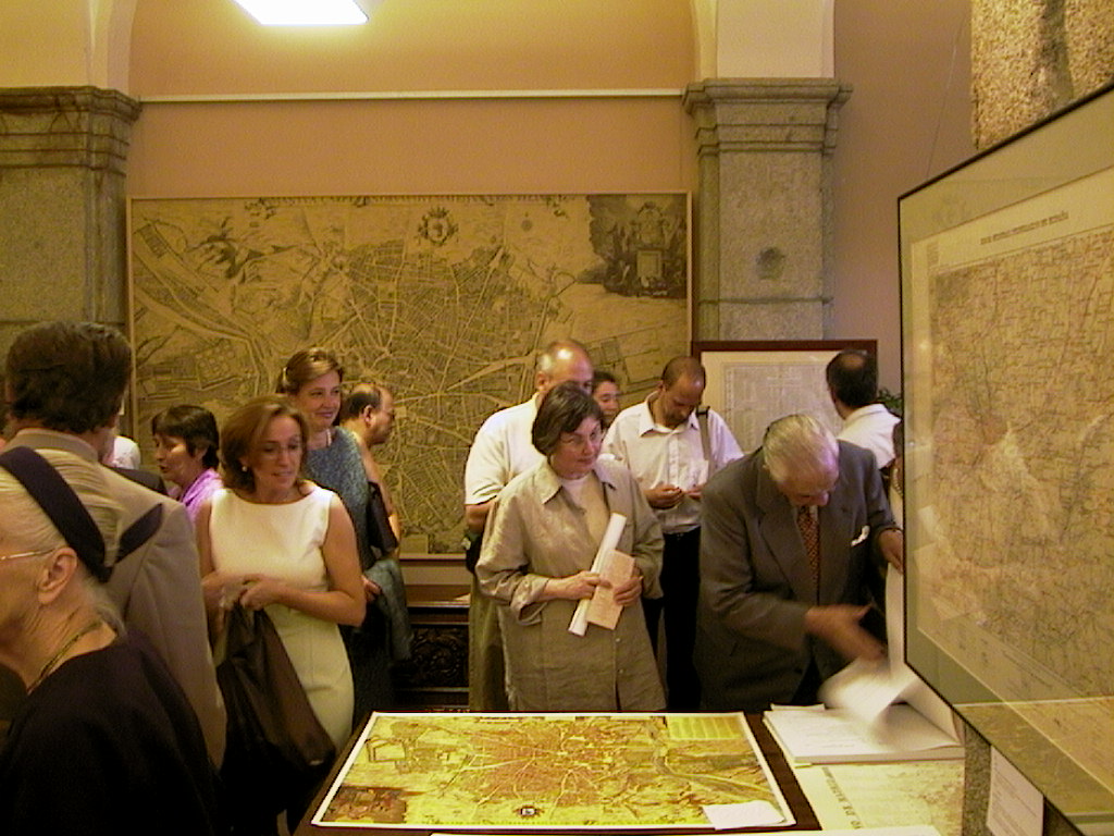
- “Madrid seen through its maps: 1622-2001” at the Casa de la Panaderia in the Plaza Mayor.
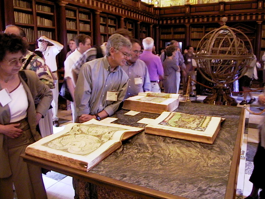
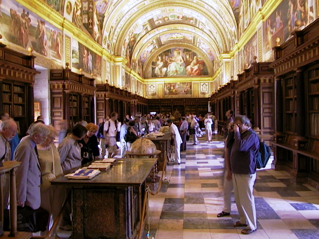
Excursions included a tour of the Monastery of El Escorial, with a special exhibit of treasures in the library, and a post conference day trip to Toledo.
Papers 19th ICHC
In 2002 a cd-rom with the proceedings was distributed among the participants:
Actas = Proceedings = Comptes-rendus / XIX Congreso Internacional de Historia de la Cartografía = 19th International Conference on the History of Cartography = XIX Congrès International d’Histoire de la Cartographie : Madrid 1-6, VII, 2001 ; edición a cargo de Victoria Arias Roca ; composición Antonia Ramos Fernández y Mª Ángeles Rodríguez Mosqueda ; informática Eugenio Alonso Náger. -[Madrid] : Ministerio de Defensa, Secretaría General Técnica, 2002. – cd-rom.
* = Only abstract was presented in the absence of the author.
Session 1: Maps and Landscape I. Chair: Peter Barber
- Marcel Watelet (BE). Intégration et diffusion de l’oeuvre cartographique parcellaire de P.C. Popp dans le cyberespace: problématique et enjeux.
- Massimo Rossi (IT). The contribution of historical cartography in studying the landscape: Passariano.
- Zsolt Török (HU). Exploration or intelligence: László Almásy and the mapping of the Lybian desert before World War II.
Session 2: Colonial Cartography I. Chair: David Buisseret
- Alfred Hiatt (GB). The representation of terra incognita in fifteenth-century cartography.
- Dennis Reinhartz (US). The Spanish New World cartographic legacy in the atlases and maps of Tomás López.
- Orlando Miguel Gama (PT). Cartography and historiography in the geographical descriptions of Brazil (17th and 18th centuries).
Session 3: Mapping: Theory and Motifs I. Chair: David Woodward
- Karen Pinto (CA). Deliberate design: the ‘West’ in medieval Islamic maps.
- Thomas Woodfin (US). Cartographic evidence for long-distance commodity trade in the 18th century.
- Ricardo Padrón Riestra (US). Empire imagined and Empire erased: contrasting prose cartographies in Oviedo, Gómara and Las Casas.
Session 4: Cartographic Methods. Chair: Ingrid Kretschmer
- P. D. A. Harvey (GB). The Medieval grid maps of Palestine.
- Markus Heinz (DE). Maps in bright colours: German map illumination in the 18th century.
- Monique Pelletier (FR).Le golfe du Mexique et les sources espagnoles: les méthodes de la nouvelle cartographie de cabinet sous le règne de Louis XIV.
Session 5: Culture, Politics and Maps I. Chair: Francesc Nadal
- Franz Reitinger (AT). The renewal of Christian faith through the spirit of cartography: Michel Le Nobletz and the School of Conquet.
- Daniel J. Birkholz (US). The Gough Map revisited: thirteenth-century perspectives on Thomas Butler’s map of England, c. 1554.
- Catherine Delano Smith (GB). Maps from the bottom: ‘Little Maps’ in the history of cartography.
Session 6: Culture, Politics and Maps II. Chair: Edward Dahl
- Angelo Cattaneo (IT). The Venetian painter Leonardo Bellini, illuminator of Fra Mauro’s Earthly Paradise.
- Zur Shalev (IL). Benito Arias Montano and the maps of the Biblia Regia.
- Mark S. Rosen (US). ‘All the Things of Heaven and Earth Together’: the original programme for the Guardaroba of the Palazzo Vecchio, Florence.
Session 7: Mapping: Theory and Motifs II. Chair: Göran Bäärnhielm
- Haim Goren (IL). Sacred but not surveyed: why was the survey of Palestine performed only in the 1870s?
- Matthew H. Edney (US). Eighteenth-century maps of New England and the intersections of manuscript circulation and print publication
- Emanuela Casti (IT). Sémiologie et histoire de la cartographie: l’identification du ‘genre’ par rapport aux aspects communicatifs.
Session 8: Colonial Cartography I. Chair: María Luisa Martín-Merás
- Neil Safier (US). Sketching the rainforest, engraving the Andes: Amazonian cartography from pencil to print
- *Ángela Domingues Scientific voyages and the dissemination of cartographical knowledge in the late eighteenth century: the Brazilian case.
- Peter Collier and Rob Inkpen (GB). From exploration to colonisation: changes in surveying and mapping in the late nineteenth century.
Session 9: Indigenous mapping of New Spain. Chair: Roberto Luis Jaramillo
- Marcelo Ramírez Ruiz (MX). Los mapas del pueblo de Indios en la Nueva España: síntesis y antagonismos espaciales.
- Patrick Lesbre (FR). Códice de Tepetlaoztoc: cartografía indígena colonial temprana (Nueva España).
- Alessandra Russo (IT). El realismo circular o la encrucijada espacial: mapas indígenas novohispanos (siglos XVI-XVII).
Session 10: Culture, Politics and Maps III. Chair: Matthew H. Edney
- Koji Hasegawa (JP). Mapping the colonies in the Japanese Empire.
- Naomi Miller (US). In praise of cities: promotional rhetoric for medieval mapping.
- Gilles Palsky (FR). Emmanuel de Martonne and the ethnographical cartography of central Europe (1917-1920).
Session 11: Military Maps. Chair: Claire Lemoine-Isabeau
- Dov Gavish (IL). Cartography and war: the case of the Palestine Campaign, 1915-1918.
- Concepción Isern Ferrando and Isabel Gil Espert (ES). La cartografía militar del siglo XVII en España: el sitio de Barcelona (1651-1652).
- Jan Mokre (AT). Accuracy and secrecy in 18th-century maps of Vienna.
- Dubravka Mlinaric (HR). The different representations of Croatian lands on early modern maps.
- Vladimir Bulatov (RU). Russian hydrography and the armed neutrality of 1779-1783.
Session 13: Renaissance Cartography. Chair: Norman Thrower
- Suzanne Daveau (PT). À propos de la première carte chorographique du Portugal (1526-1535).
- Mercedes Maroto Camino (NZ). La última invención: Quirós y el Pacífico.
- Peter Barber (GB). Court and country: two mid-sixteenth century English royal cartographic initiatives.
Session 14: Mapping Spain I. Chair: Carmen Líter
- José María Sanz Hermida (ES). El mapa de España moderno del códice 2586 de la Biblioteca General de la Universidad de Salamanca.
- Antonio Reguera Rodríguez (ES). Los cartógrafos del Marqués de la Ensenada y el mapa de España.
- Agustín Hernando (ES). Atlas editados por Tomás López (1730-1802).
Session 15: Maritime Cartography. Chair: Uwe Schnall
- *Surekha Davies The scientific iconography of Diogo Ribeiro’s 1529 planisphere.
- Simonetta Conti (IT). El conocimiento de la isla de Cuba en la cartografía náutica italiana de los siglos XVI y XVII.
- Juan Tous Meliá (ES). La isla de El Hierro y el meridiano origen.
Session 16: Map Publishing. Chair: Monique Pelletier
- *Akerman, James R. Official state highway maps as promotional tools in the American Midwest, 1920-1990.
- Marco van Egmond (NL). Conjuring tricks with copperplates and maps: the versatile practice of amending printed maps by the Dutch firm of Covens and Mortier.
- Joao Carlos Garcia (PT). Brasil en las cartas grabadas portuguesas (1750-1822).
Session 17: Mapping Spain II. Chair: José Martín López
- Luis Urteaga, Francesc Nadal, and José Ignacio Muro (ES). Un capítulo en la formación del Mapa Topográfico Nacional a escala 1:50.000: el plan de modernización de la ‘Zona Nordeste’ (1947-1953).
- Enrique Gozalbes Cravioto (ES). Datos sobre la cartografía de Hispania en la antigüedad.
- Carme Montaner (ES). Los excursionistas y la cartografía de los Pirineos a partir de 1870.
Session 18: Colonial Cartography III. Chair: John Hébert
- David Buisseret (US). Some problems in the history of Spanish overseas cartography, 1500-1700.
- Michel Antochiw (MX). Las últimas aportaciones cartográficas hispanas de México.
- Roberto Luis Jaramillo (CO). Rasguños, pegotes y mapas en Antioquía: siglos XVIII y XIX.
Session 19: Maps and Landscape II. Chair: James R. Akerman
- Blaine P. Lamb (US). The diseno and mapmaking on Iberoamerica’s far northern frontier.
- Prasad Gogate (IN). Four Modi maps of Maratha cartography.
- Borna Fürst-Bjelis (HR). Grimani cadastral survey and the Mediterranean geographical environment (a case study in Dalmatia).
- Spreading information about forgotten cartographic documents in archives. Chair: Ramon Alvargonzález and Kenneth Nebenzahl.
- España en la cartografia europea. Chair: Günter Schilder and Agustín Hernando.
- André Ferran d’Almeida (PT). The Samuel Fritz map and the Jesuit territorial expansion on the Amazon.
- Marguerita Azzari (IT). Historical cartography and GIS for planning.
- *Eric Beerman (ES). Plano por Manuel Agote de Macao dedicado a Malaspina (1792).
- Miguel A. Bernabé et al. (ES). The Electronic Cultural Atlas Initiative: an introduction.
- Vanessa M. Brasil (BR). Imágenes gráficas del Río San Francisco: siglo XIX.
- Concepción Camarero Bullón (ES). Las Islas Canarias a través de la cartografía.
- Joost Depuydt (BE). Portfolio with reproductions of early maps of Mexico.
- Maria Dulce de Faria (BR). The map of the Mojos and Chiquitos mission.
- Stanislav Franges and Robert Zupan (HR). Facsimile of an old map of Zagreb of 1853.
- Mitia Frumin (IL). Russian maps of Haifa Bay from the period of the Russo-Turkish War (1768-1774).
- Montserrat Galera (ES). Presentación del ciclo completo de los cursos sobre Historia de la Cartografía impartidos entre los años 1990-2000.
- John R. Hébert (US). Luso Hispanic world in maps: manuscript maps to 1900 in the collections of the Library of Congress.
- Wolf Günther Koch. The graphic design of the district maps of the German geographer and cartographer Adam Friedrich Zürner (1679-1742)
- Nikolay N. Komedchikov (RU). The national map of the USSR at the scale of 1:1,000.000: the history of its creation.
- Ivan Kupcík (DE). The development of iconography in the portolan charts up until 1500 in tabular form.
- Nancy Machado Lorenzo (CU). Cartografía histórica de Cuba: siglos XVI-XIX.
- Jorge Manrique, Antonio Rivas Dávila, and Leonardo A. Rojas (VE). La evolución de la cartografía en los Andes venezolanos.
- Veselin Miskovic (SI). The iconography of an emerging nationalism: 18th-century maps of Carniola as early icons of Slovenian national identity.
- Drago Novak (DE). The coast of Spain and the western Mediterranean on the portolan charts of Vicentius Demetrius Voltius Raguseus, a portolan maker from Dubrovnik.
- Markus Oehrli (CH). The German army map of Switzerland from 1939 to 1945 at the scale of 1:25,000.
- *Rajendran Pillay (ZA). Changing historical place-names in South Africa from pre-1994 to 2001: a cartographical portrayal using GIS technology.
- Vincenc Rajsp (SI). Istria and the ‘Josephinische Landesaufnahme’ (The Josephinian Military Survey 1763-1787) of the Slovene territories.
- Wang Jun (CN). A study of mapping institutions and the topographical maps of China in the modern period.
- Liudmila Zinchuk (RU). Spain in old Russian maps.
- Carmen Manso Porto (ES). La colección de mapas y planos manuscritos de España y los atlas de Tomás López en la Real Academia de la Historia.
- Maria Joaquina Feijão (PT). The Eighteenth-Century Maps of Brazil in the Collections of the National Library of Portugal.
- Maura O’Connor (AU). Digitising the National Library of Australia’s Rare map Collections.
- Markus Heinz and Wolfgang Crom (DE). Tools for the Map Historian: Practical Traditions and Perspectives of Cataloguing Old Maps in Germany.
- Miljenko Lapaine and Ivka Klajic (HR). CROCART: A Database on Croation Cartographers.
- Robert Karrow (US) What is Involved in Securing our Collections of Early Maps?
Session 12: Mapping of Eastern Europe. Chair: Monserrat Galera
/ol>
Workshops
Poster Presentations
Papers ISCEM meeting, 30 June 2001
Note
There was distributed free among the participants: Pedro de Teixeira, Compendium Geographicum. (Madrid: Fundación Alvargonzález; Museo Naval; Uppsala: Universidad de Uppsala, 2001). A 198 pp. bound book with a facsimile of Teixeira’s manuscript description of Spain in Uppsala university, and a transcriptions of Teixeira’s description of the Spanish coasts in the Biblioteca Nacional.
At the farewell dinner all participants were presented a CD Marchas Pasodobles by the Orquesta de Pulso y Púa of the Universidad Complutense de Madrid.

References
Archief Nieuws Gemeentearchief Amsterdam nr. 16, (13 september 2001): [1-2](Hameleers*).
Caert-Thresoor 20 (2001): 106-107 (Hameleers*).
Kartografisch Tijdschrift 27, no. 4 (2001): 49-50 (Hameleers*).
Cartographica Helvetica 24 (Juli 2001): 43-44 (Oehrli).
Imago Mundi 54 (2002): 135-141 (Safier).
Newsletter, Brussels International Map Collector’s Circle (BIMCC) 11 (September 2001): 10 (Danckaert).
The Portolan 51 (Fall 2001): 54-56 (Docktor et al.).
* The three reports are basically identical, since nobody can expect Marc Hameleers to write three different reports about the same conference!