13th International Conference on the History of Cartography
13de Internationale Conferentie voor de Geschiedenis van de Kartografie
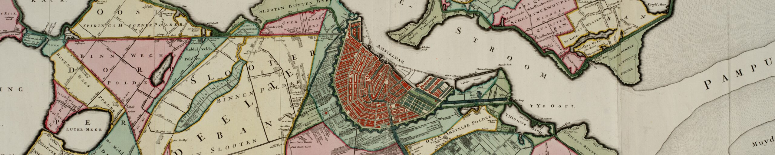
26 June – 1 July 1989 — Amsterdam (& Den Haag)
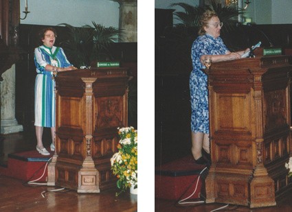
 Held in the Aula (auditorium) of the University of Amsterdam, and in the Royal Library at The Hague, with the principal coordinators Willem Heinemeijer, Marc Hameleers, Paul van den Brink, Peter van der Krogt, Günter Schilder, Jan Smits, Dirk de Vries, Jan Werner, Kees Zandvliet. Attendance was over 200, from 26 countries, and the conference language was English.

The thematic sections were:
- Cartography between Art and Science?
- Knowledge and Market Mechanisms as Impulses for Map Publishing</li<
- Innovations in Maritime Cartography between 1650-1880
- Developments in Thematic Cartography in the 19th Century
- Cartography as an Element of Colonial Administration since 1750
There were four exhibitions, for each of which was published a 120-page Catalog:
- “Gedrukt en gesneden in de Kalverstraat,” at the Amsterdams Historisch Museum;
- “In de Gekroonde Lootsman,” at the Nederlands Scheepvaart Museum;
- “Kaarten met geschiedenis 1550-1800,” at the Museon; and
- “Kunst in kaart,” at the Rijksprentenkabinet.
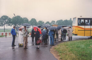
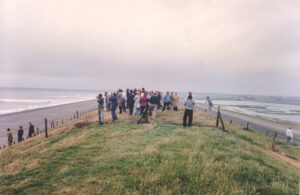
Excursions were a canal cruise to the Scheepvaart Museum, and an all-day optional outing through North Holland.
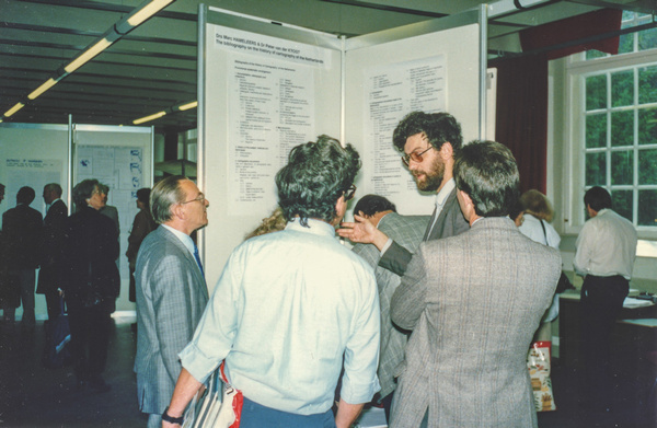
The conference included 35 papers and 31 poster presentations. This was the first conference where full texts were not distributed at the start, although individual speakers provided them at the time of their presentations if they so wished. It was also the first with a poster session, to avoid concurrent sessions. The poster session was held Friday, June 30. The idea was a good one, and the poster session has been retained in other ICHCs since. The 116-page book of abstracts was more substantial than had been previous abstracts books, and many abstracts are virtually complete papers, some even including notes (13th International Conference on the History of Cartography: Amsterdam and The Hague June 26 to July 1, 1989: Abstracts [Amsterdam, 1989]). The Wednesday meeting of the Standing Commission on the History of Cartography of the International Cartographic Association was in three parts: Cartochronology, Teaching the History of Cartography, and Cartobibliography.
Papers 13th ICHC
As the first paper of each session the chairperson presented a review.
Opening lecture
- Cornelis Koeman (NL). Two Centuries of Historiography of Cartography.
Theme 1: Cartography between art and science?
First session
- review: J. Brian Harley (GB). “The Myth of the Great Divide”: Art, Science, and Text in the History of Cartography.
- Catherine Delano-Smith (GB). Maps in Bibles: Maps as Art and Cartography.
- Vladimiro Valerio(IT). Art and Technology in Cartography: A Misleading Contraposition.
- Kazutaka Unno (JP). Map as a Picture: The Old Chinese View of Maps.
Second session
- review: Monique Pelletier (FR). Cartography: Images of the World, A World of Images.
- Sarah Bendall (GB). English Estate Maps: Their Decoration and Use.
- O. A. W. and Margaret Dilke (GB). The Arts and Science in Graeco-Roman Cartography and its Sequel.
- Paul D. A. Harvey (GB). Maps in Mirror Image.
- Marc Hameleers (NL). Placing Maps of Towns between Art and Science: Responsibilities of a Map Historian.
Theme 4: Developments in Thematic Cartography in the 19th Century
Third session
- review: Helen Wallis. (GB)
- Sandra Vantini and Maria Laura Pappalardo (IT). Thematic Maps in the Italian Atlas of the 19th Century.
- Ingrid Kretschmer (AT). Austrian Thematic Maps Early Printed by Chromolithography.
- Wolfgang Scharfe (DE). Administrativ-statistischer Atlas vom Preussischen Staate: The First National Atlas (1827/28).
Fourth session
- review: George Kish (US)
- Roy C. Boud (GB). Agrarian Patronage and the Early Geological Mapping of Scotland.
- Karen S. Cook (GB). Artistic and Scientific Design Sources in Geological Cartography: George Bellas Greenough, “A Geological Map of England and Wales” 1820-1839.
- Józef Babicz (PL). “Carta Geologica Totius Poloniae, Moldaviae, Transilvaniae, partis Hungariae et Valachiae,” 1815–An Early Polish Thematic Map by Stanislaw Staszic (1755-1826).
Fifth session
- Eila Campbell (GB)
- David Bosse (US). Maps for a Mass Market: The Press Portrays the Civil War.
- David R. Green (GB). The Unique Role of Journalistic Cartography as a Geographical Communication Medium.
- Wolfgang Lierz (DE). From Cycling to Motoring Maps: The Emergence of New Map Types According to Technical Developments in the Late 19th Century.
Theme 3: Innovations in Maritime Cartography between 1650-1880
Sixth session
- review: Willem F. J. Mörzer Bruyns (NL)
- G. S. Ritchie (GB). A Review of Hydrographic Progress 1660-1800.
- Peter J. Guthorn (US). The Last Independent American Hydrographer.
- Andrew S. Cook (GB). Alexander Dalrymple’s Appointment as East India Company Hydrographer in 1779 and his “Instructions to Captains” for a New System of Chart Compilation.
Theme 2: Knowledge and Market Mechanisms as Impulses for Map Publishing
Seventh session
- review: Tony Campbell (GB)
- Mary Sponberg Pedley (US). Land Company Mapping in North America: From Speculation to Fiefdom in Northern New York.
- D. de Vries (NL). The Wallmap of Helvetia by Mercator: An Indication to the Genesis of his Atlas.(7pp)
- James Welu (US). The Single Sheet Wall Map.
Theme 5: Cartography as an Element of Colonial Administration since 1750
Eighth session
- review: F. J. Ormeling Sr. (NL). Mapping the Former Netherlands Indies.
- Ananda Abeydeera (AT). Cartography as an Element in the Dutch Colonial Administration of Maritime Provinces of Sri Lanka.
- Jeffrey C. Stone (GB). The Cartography of Decolonisation: The Case of Swaziland.
- Norman J. W. Thrower (US). The Colonial Cartography of New Spain (Mexico) from 1750-1810.
Poster Presentations 13th ICHC
- Ananda Abeydeera (AT). Silk Roads to Sri Lanka: The Image of the Island between Travelogues and Cartography.
- Robert W. Bremner (PT). Medieval Mappaemundi: Their Origins and Place in the Development of Ancient Cartography.
- Teresa Colletta (IT). Urban Historical Cartography: The Contribution of Neapolitan “Tavolari” between 1500 and 1700.
- Lisette Danckaert (BE). Survival of Decorative Elements on Belgian Maps in the 19th Century.
- Susan Gole (GB). Size as a Measure of Importance in Indian Cartography.
- Marc Hameleers and Peter van der Krogt (NL). The Bibliography on the History of Cartography of the Netherlands.
- Francis Herbert (GB). An Inventory of Cartographic Woodblocks, Copperplates, Lithographic Stones, Metal Blocks, etc.
- Roger J. P. Kain (GB). Indexing the Tithe Surveys of England and Wales: A Research Project in the Department of Geography, University of Exeter Funded by the Leverholme Trust.
- George Kish (US). Maps of Religious Distribution: Examples from the 16th and 18th Centuries.
- Thomas Klöti (CH). A New Journal on the History of Cartography.
- Pellervo Kokkonen (FI). The Sea Atlas of A. I. Nagaev and the Development of the Russian Maritime Cartography during the 18th Century.
- P. G. M. Mekenkamp (NL). Geometric Cartography: The Accuracy of Old Maps.
- Alfredo Pinheiro Marques (PT). A New Chart and an Old Problem: Still the Imaginary Islands of the Atlantic.
- Michael J. Mikós (US). Polish Maps and Views by Erik Dahlbergh, Artist and Military Engineer.
- Edwin Okhuizen (NL). The Dutch Contribution to the Cartography of Russia during the 16th-18th Centuries.
- Anna Teresa Pawlowska (PL). Forest Maps of the Zamoyski Estate in Nineteenth Century.
- Alexei V. Postnikov (RU). On the History of River and Lake Mapping in Russia in the 19th Century.
- Dennis Reinhartz and Lisa Davis-Allen (US). A Sanson-Jaillot Copperplate of the Eastern Half of South America of 1674 for the Atlas Nouveau: What Might Have Been.
- A. H. Ruitinga (NL). Map Collection, Free University Library Amsterdam.
- Franciska K. Safran (US). The Holland Land Company in the United States.
- Silvino Salgaro (IT). The “Description” of the Territory: Cartography between Art and Science.
- Günter Schilder (NL). Monumenta Cartographica Neerlandica: A Dutch Research Project.
- Joseph E. Schwartzberg (US). Three Cosmographic Globes from India: A Comparative Analysis.
- Lajos Stegena (HU). Cartography of the Seismology in the Nineteenth Centurty.
- Lajos Stegena (HU). Minoan Map-like Frescoes at Acrotiri, Isle of Thera (Santorini).
- Krystyna Szykula (PL). The Newly Found Jenkinson’s Map of 1562.
- Luciano Taioli (IT). Venetian Cartography of Northern Europe in the 16th Century with Reference to Commercial Needs and Cultural Interest.
- Vladimiro Valerio (IT). Absence and Cartography. Notes on 15th Century Regional Maps.
- Marcel Watelet (BE). Russian Military Cartography in North of France (1816-1818).
- J. B. Ch. Wekker (SR). The Cartography of Suriname: An Element of Colonial Administration.
- David Woodward (US). The Correlation of Watermark and Paper Type in Sixteenth-Century Italian Printed Maps.(6pp)
Papers ICA Meeting
- Andrew S. Cook (GB). Edition, Printing, Issue, and State as Terms in Cartobibliography. (6pp)
- Richard I. Ruggles (CA). Concerning the Report on the Teaching of the History of Cartography, for the Standing Commission on the History of Cartography of the International Cartographic Association.
Note
There was also distributed a booklet to accompany the North Holland tour: Beenakker, J. J. J. M., et al. Excursion through Noord-Holland, XIIIth International Conference on the History of Cartography. The Hague, 1989.
References
Of especial value, for those who can read Russian, is the following, which is the only full-length article I know of to attempt to relate any ICHC to current general tendencies in the history of cartography: Aleksei V. Postnikov, [“Modern tendencies in the development of research on the history of cartography: the results of the 13th International History of Cartography Conference (Amsterdam-The Hague, June 26-July 1, 1989)”], ?? 4 (1990): 133-41.
And regular reports:
Imago Mundi 42(1990): 119 (Reinhartz)
Mapline 55(1989): 1-4 (Karrow)
Österreichische Geographische Gesellschaft, Mitteilungen 131 (1989): 278-81 (Kretschmer)
Kartographische Nachrichten 39(1989): 185-87 (Scharfe)
Nordost-Archiv 22(1989) 96: 239-46 (Jäger)
Kartografisch Tijdschrift 17 (1991) 1: 41-45 (Hameleers)
Geographische Gesellschaft in München, Mitteilungen 74 (1989): 165-67 (Kupcík)
The Map Collector 48 (Autumn, 1989): 38-39 (Scott)
Cartographica Helvetica 1 (Jan. 1990): 40 (Klöti).