5th International Conference on the History of Cartography
V Międzynarodowa Konferencja Historii Kartografii
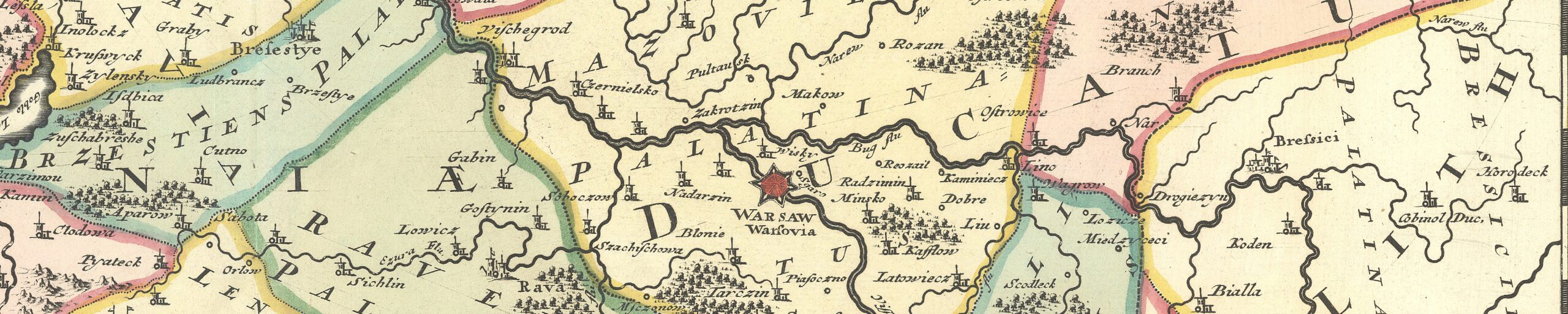
13-17 September 1973 — Warszawa (Jadwisin)
 Held in honor of 500th anniversary of day of birth of Copernicus, “some 20 miles north of Warsaw in a pleasant lake-side setting where the Dom Pracy Twórczej combined all the necessary facilities in one building” (Fletcher). Main coordinators were Józef Babicz, H. Ostromecka, Karol Buczek, Eila Campbell, Cornelis Koeman, Antoine de Smet, E. Pognon, and Franz Grenacher. The lists of participants lists 82 attendees, including accopanying persons, from 19 countries. Conference languages were English, French, German, and Russian.
The theme was the effect of Copernicus’s ideas on post-16th century cartography, but papers actually varied widely over European cartography of the last 500 years.
Exhibitions were
- on maps of Poland, 15th-20th centuries, at the Biblioteca Narodowa in Warsaw;
- on the literature of the history of Polish cartography;
- on Buczek’s Monumenta Poloniae Cartographica, mostly destroyed during early days of World War II;
- on the life and works of Copernicus (in Kraków).
A combined catalog of exhibitions was printed (22pp)) (cited in Varep, p. 262).
There was also an excursion to Kraków, including a visit to the Jagiellonian University.
There were 44 papers (A fair number, however, were not read, since some registrants were unable to attend), with texts made available in alternate languages, and a folder of abstracts was distributed (56pp) (Bibliographia Cartographica 1 (1974), no. 619, and Varep, p. 262). Although it had been planned that some would be published in Imago Mundi>, due to complications involving obtaining or transporting reproductions, none were there published (Imago Mundi 27 (1975), p. 6).
Papers 5th ICHC
- Adams, I. H. The Influence of Newtonian Mathematics on Scottish Cartography in the Eighteenth Century (2pp)
- Alexandrowicz, Stanisław. Cartes polonaises à grande échelle du XVIe siecle. (4pp)
- Arnhold, H. Die Karte “Mansfeldiae Comitatus” von Tilemann Stella und ihre kartographischen Bearbeitungen vom 16.-18. Jahrhundert. (2pp)
- Aujac, G. Recherches et techniques cartographiques dans la Grèce ancienne. (2pp)
- Babicz, Józef. La vulgarisation de la theorie heliocentrique par les atlases geographiques (XVIe-XIXe siecles) (1p)
- Beck, Hanno. Zur Geschichte der Darstellung der 3. Dimension. (1p)
- Brod, Walter M. Sebastian von Rotenham–der Begründer der fränkischen Kartographie, ein Zeitgenosse des Kopernikus. (1p)
- Büttner, H. Kopernikus und die deutsche Geographie im 16. Jahrhundert.
- *Cenakau, W. L. Die Erd- und Himmelsgloben in Russland bis zum 19. Jahrhundert.
- Depuydt, Frans La mise en carte topographique à grande échelle de la Belgique méridionale et de la France septentrionale entre 1816-1830. (1p)
- Desreumaux, R. Auteurs de plans et arpenteurs dans le Nord de la France sous l’ancien régime. (2pp)
- Donnert, Erich. Die ausländische Russlandkartographie an der Schwelle der Neuzeit.
- Freeman, T. W. The Londonderry Memoir of 1837. (1p)
- *Galkovich, B. G. The Russian Manuscript Maps of the Dnieper Area of the 30-50ties [sic] of the 18th Century. (3pp)
- Gołaski, Janusz. La base géométrique des primitifs cartographiques à grande échelle en Pologne au XVIe siècle. (1p)
- Goldenberg, Leonid A. Russian Cartographer of XVIII Century:F. I. Soimonov as a Propagandist of the Copernican Doctrine. (2pp)
- Goldstein, Thomas. Copernicus and Renaissance Geography. (2pp)
- *Guthorn, Peter J. Kosciuszko’s Engineering Contributions to America. (2pp)
- Haczewska, Zofia. Peter Bertius Relations with Poles and Poland. (2pp)
- *Harley, J. Brian The Economics of Colonial Surveying:North America, 1764-1775.
- Hindle, B. P. The Roads of the Gough Map. (1p)
- Howse, Derek. The Earliest Printed Sea Charts, 1485-1569. (1p)
- *Kish, George. The Thematic Maps of Philippe Buache (1700-1773) (1p) (In conference program title given as:Early Thematic Mapping, 1750-1830.)
- Klemp, Egon. Die Wandkarten Produktion des 17. Jh. im Spiegel der drei Superatlanten in London, Berlin und Rostock. (1p)
- Koeman, Cornelis. Dutch Atlases from the 16th and 17th Centuries in Polish Libraries. (1p)
- Kot, H. The history of maps of northern Poland.
- Lang, Arend W. Entwicklungsphasen der Seekartographie der Nord- und Ostsee im 15. und 16. Jahrhundert. (2pp)
- Lewicki, Tadeusz. La mappe munde de Marino Sanudo (1321) et la carte ronde du monde d’Idrisi (1154):Observations d’un arabisant. (1p)
- Manzi, Elio. L’Atlas Maritime du Royaume des Deux Siciles. (1p) (Paper was probably not presented(?), although abstract was distributed.)
- *Matveeva, Tamara Petrovna. From the History of Globography in Russia (The First Russian Relief-Globe in the Early 19th Century). (2pp)
- *Midź, J. Some maps somewhat later than Copernicus’s time.
- Mookerjee, Sitanshu. Ancient Indian Contribution to Cartography.
- Mucha, Ludvik. “Charte von dem Fränkischen Kreise” des böhmischen Kartographen F. J. H. Kreibich in dem Gaspaiischen Atlas. (2pp)
- Pietkiewicz, Stanisław. Problèmes de l’investigation des cartes du XIXe siècle. (3pp)
- *Polevoi, B. P. Major Russian Maps of the 16th-17th cc. in the Light of Recent Researches (2pp)
- *Righini Bonelli, M. L. Il globo terrestre di Egnatio Danti.
- Ristow, W. W. The History of Cartography as a Research Discipline in the United States.
- Rosińska, Grażyna. The Three Editions of Jan’s of Glogów Introductorium Cosmographiae. (3pp)
- Szaflarski, J. Première carte économique détaillée en Pologne:Carte de la principauté de Pszczyna de la première moitié de XVII s.
- Szeliga, Jan. Die Entwicklung der Genauigkeit von Karten der polnischen Ostseeküste vom 16. bis 19. Jahrhundert. (2pp)
- *Teixeira da Mota, A. About History of Portuguese Cartography XV-XVI Centuries.
- Varep, Endel. Maps of Estonia Published by the Academy of Sciences of St. Petersburg in the 18th Century. (1p)
- Waters, D. W. The Influence of Navigation upon Cartography in the Age of Copernicus. (3pp)
- *Wereszczyński, J. Remarks on Some Important Polish Elaborations of the Sea Charts.
- Woodward, David. The History of Cartography:A Methodological Schema. (1p)
* Speaker not in list of participants, paper was probably not presented(?).
Note
Each participant also received a copy of a valuable collection of studies:Studia z Dziejów geografii i kartografii. Études d’histoire de la géographie et de la cartographie (Mélanges B. Olszewicz, 1893-1972), ed. Józef Babicz (Monografie z Dziejów Nauki i Techniki, 87) (Warszawa, 1973), with 38 articles (See full list of contents in Bibliographie Géographique Internationale, 79 (1973), pp. 28-30 (no. 3).).
References
Imago Mundi 27 (1975): 99-100 (Fletcher)
Eesti geograafia selts, Aastaraamat (1974): 251-62 (Varep) (the fullest report known to me, unfortunately in Estonian)
?? 1974, no. 3 (May-June): 163-66 (Goldenberg & Galkovich)
Kartographische Nachrichten: 23(1973), 244-45 (Scharfe)
Vermessungstechnik, 22 (1974) 2: 74 (Klemp)
Polski przegląd kartograficzny 5(1973): 189-90 (Pietkiewicz)
Kwartalnik historyczny 81(1974): 457-58 (H. R[utkowski])
See also a pre-conference notice of value in Imago Mundi, 25 (1971), 87.