23rd International Conference on the History of Cartography
23. Internationale Konference om Kartografiens Historie
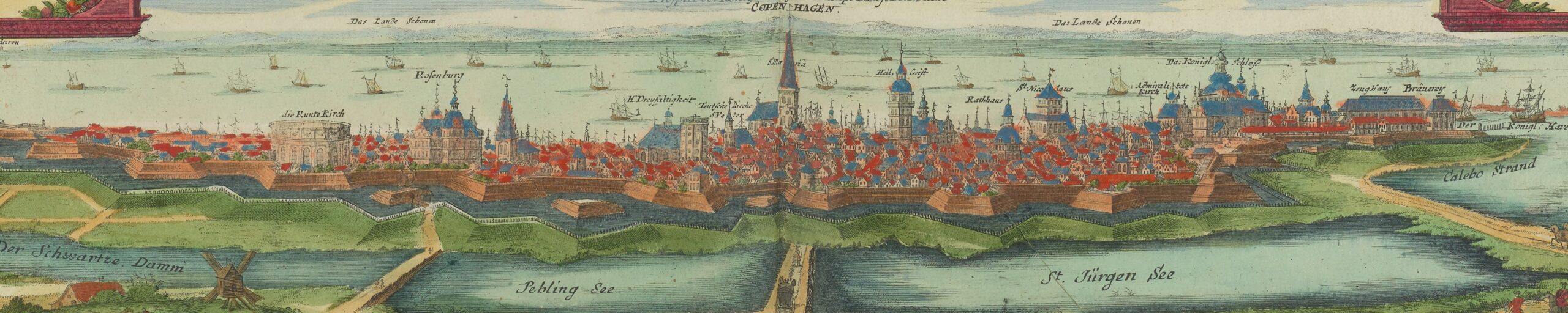
12-18 July 2009 — København
Cartography of the Far North
Through history, the regions of the Far North have spawned powerful myths and visions of scientific and economic opportunity and gain. It was considered a wild and inaccessible part of the world with great reward and honour in store for those brave and cunning enough to overcome its challenges.
Not surprisingly perhaps, the early cartography of the Far North has been characterized by a blurring of the boundaries between fact and fiction, and a strong interplay between textual sources and cartography.
This, however, far from being an exclusive trait of the North, may be readily acknowledged for many regions of the world. In fact, the intermingling of observation and imagination is as crucial to the creation of meaning in cartography in particular as it is to the sciences and arts in general.
The ICHC2009 focused on the four main themes that are briefly outlined below. However, contributions on any other aspect of the history of cartography were very welcome.
The conference themes were:
- Cartography of the Arctic, North Atlantic and Scandinavian regions
- Cross-cultural cartographies
- Mapping mythical and imaginary places
- Maps and the written word
- Any other aspect of the history of cartography
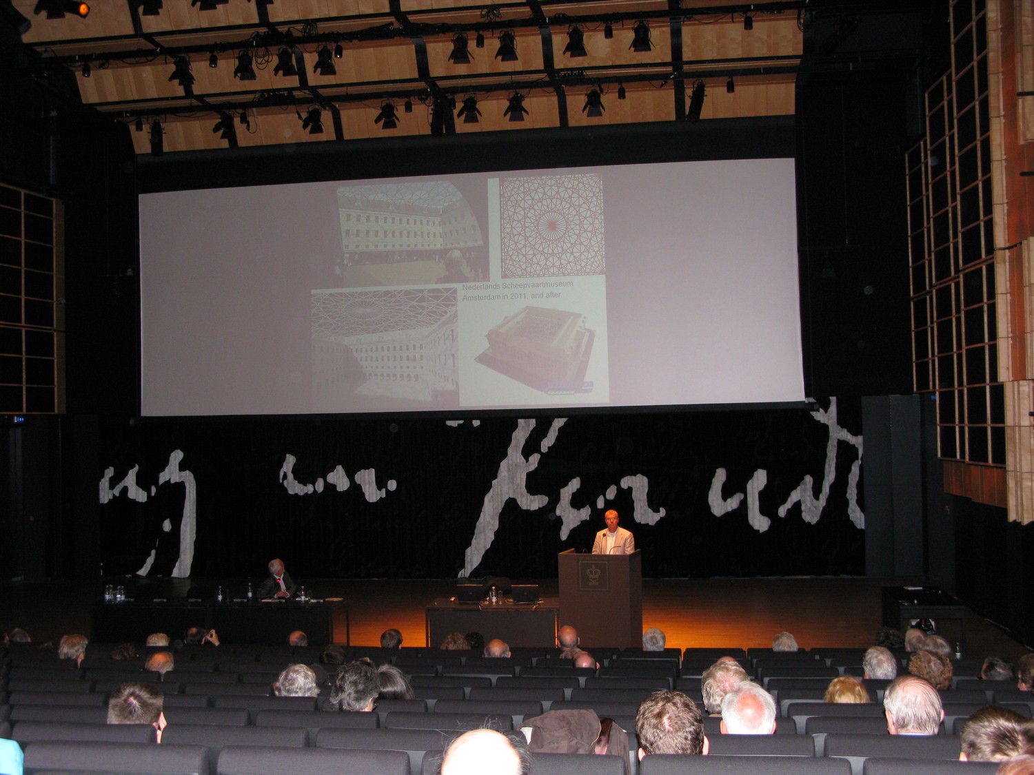
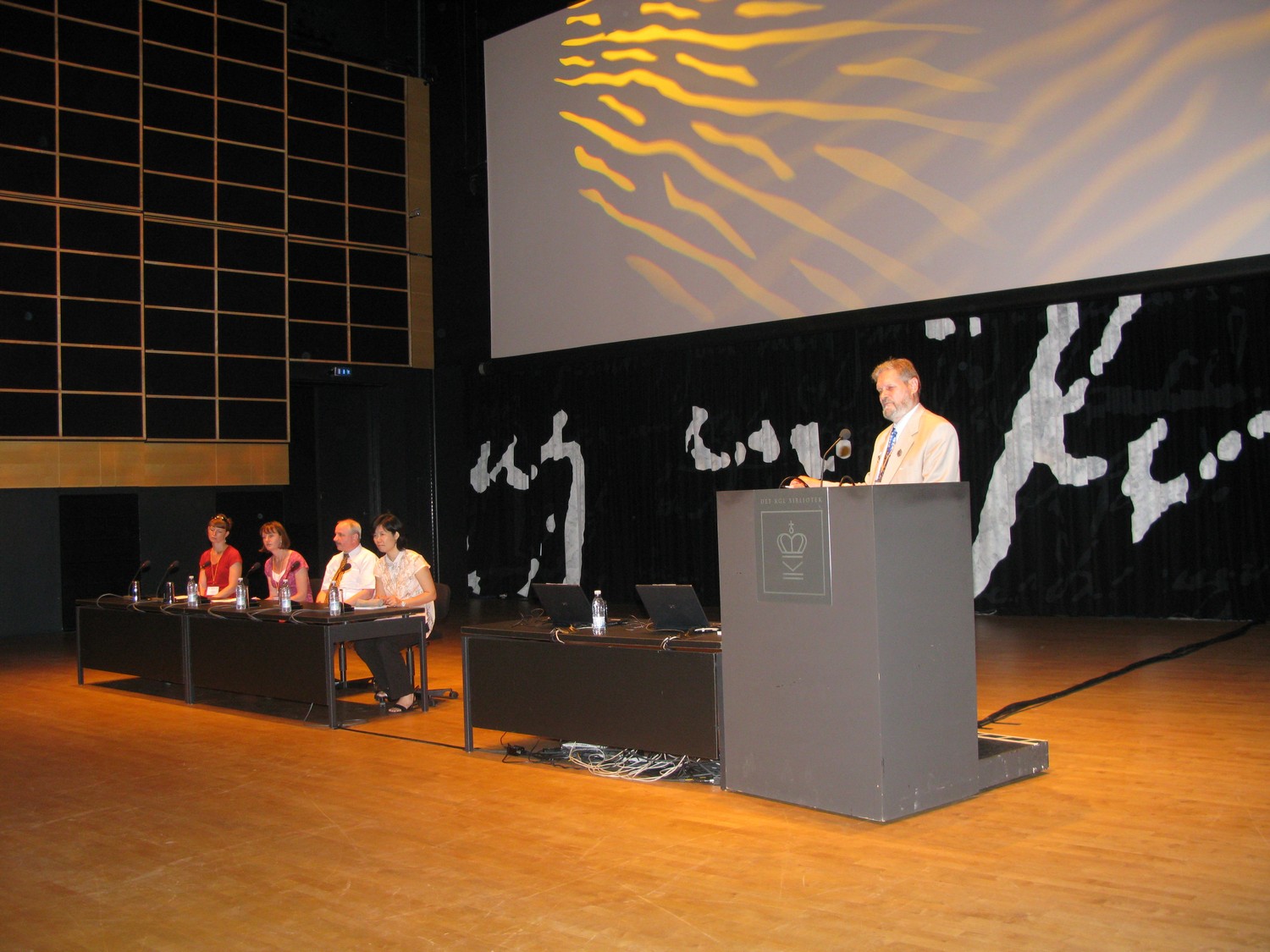
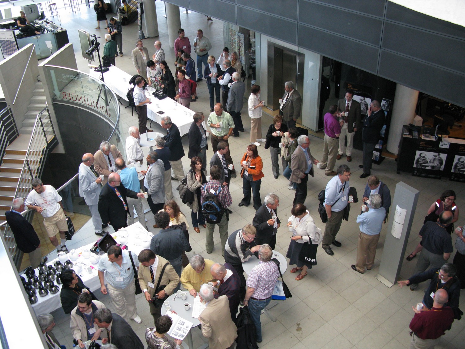
The conference was held in the Black Diamond Building of the Royal Library of Copenhagen. The main coordinator was Henrik Dupont, and the general secretary Christopher Jacob Ries.
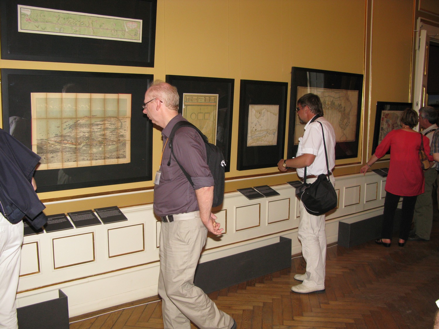
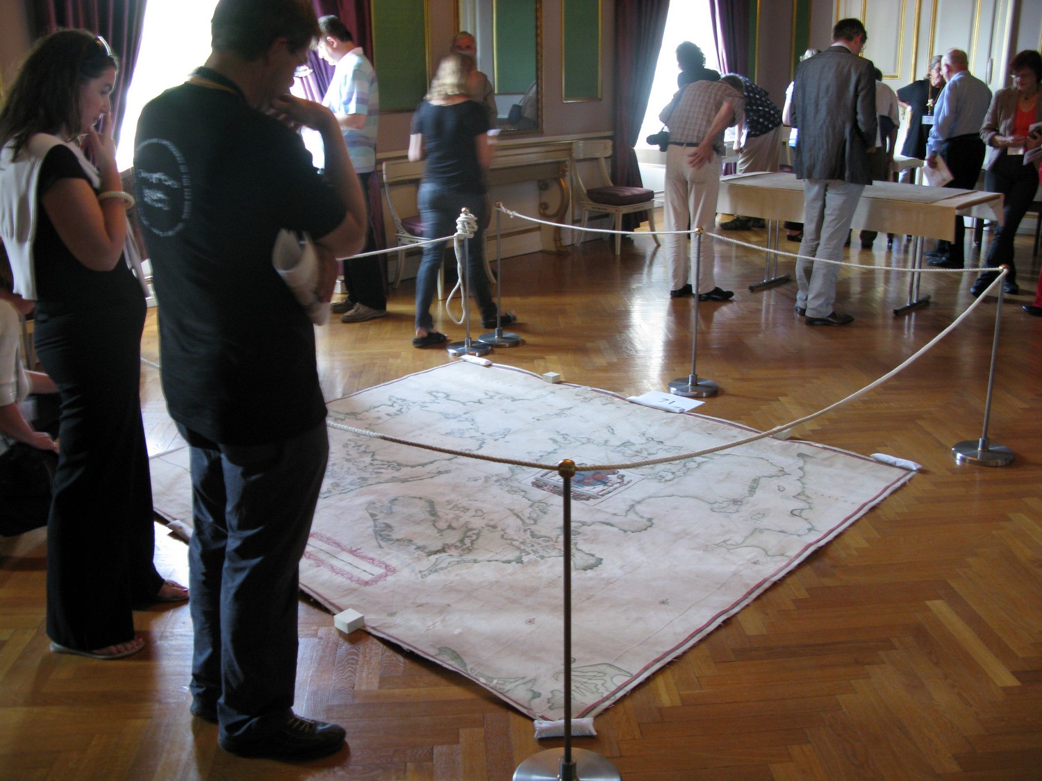
Three exhibitions were prepared in conjunction with the conference:
- “Maps, Myths and Narratives: Cartography of the Far North”, Royal Library, Black Diamond.
- “Mapping the Kingdom: Maps from HM The Queens”, Reference Library, Christian VIII’s Palæ.
- “Strange Maps of the City: Copenhagen like you have never seen it before…”, Copenhagen City Museum.
After the Conference, on Saturday, 18 July, a day trip was organised to Tycho Brahe’s Castle on the island of Hven.
On Saturday, 11 July, the International Society of Curators of Early Maps and the the commission on the History of Cartography of the International Cartographic Association (ICA) held their meetings.
Conference website (through Internet Archive)Papers
Biographical statements for each presenter and abstracts of all papers in English were provided in a printed program.
Program and abstracts (PDF file)
Session 1: Myths and the Mapping of the Arctic. Chair: Joachim Neumann
- Chet Van Duzer (US), A Northern Refuge of the Monstrous Races: Asia on Waldseemüller’s 1516 Carta Marina.
- Marvin Falk (US). The Influence of Myths and Spurious Voyage Accounts on the Cartography of the North Pacific and Alaska on Maps published after 1740.
- Michael Robinson (US), Taking Wild Theories Seriously.
Session 2: Playful Geographies. Chair: Matthew Edney
- Marleen Smit (NL). An Octopus, Girls on Rollerskates and Angry Neighbours.
- Franz Reitinger (AT). The Screen: An 18th Century Map Device.
- Jernej Sekolec (AT). Orbis Lusus: A Forgotten 17th Century Geographical Game.
Session 3: Politics and Cartography. Chair: Roger Kain
- Michael Jones (NO). Between Great Power Politics and Everyday Life.
- Mitia Frumin (IL). At Home Among Strangers, Stranger at Home.
- Richard Scully (US). ‘German Ocean’ or ‘North Sea’: the Anglo-German Cartographic Freemasonry, 1842-1914.
- Petra Svatek (AT). Ethnographic Maps and Politics in Austria from the First to the Second World War.
Session 4: Marine Charting. Chair: Michael Harbsmeier
- André Ferrand Almeida (PT). An Unknown Sixteenth Century Portuguese Chart from the Biblioteca Centrale di Palermo.
- Antonio Sánchez (ES). The Map Making Activity of the Casa de la Contratación of Seville.
- Diederick Wildeman (NL). A Whaler-Cartographer: The Charts and Descriptions of Greenland by Laurens Feykes Haan.
Session 5: Religious Mappings of Place. Chair: Catherine Delano Smith
- Vera Dorofeeva-Lichtmann (FR). Kunlun Mountain from Early Texts to Representations in Maps.
- Lucia Nuti (IT). Urban Maps and Patron Saints.
- Rehav Rubin (IL). Mapping a Myth – The Overthrowing of Sodom and Gomorrah and the Creation of the Dead Sea (Genesis 19).
Session 6: Maps, Bodies and Poetry. Chair: Agustin Hernando
- Adele Haft (US). “It started with her Shape on the Map”.
- Leonid Chekin (RU). The Arctic on the “Barbara Codonea” Map of Konrad Celtis.
- Karen de Coene (BE). Cartography in the 12th century Liber Floridus or ‘How a Map can Symbolize Life’.
Session 7: The Place of the Viewer. Chair: Karen Cook
- Masha Kowell (US). Peter’s Vantage Point.
- Nathaniel Prottas (US). Localizing Sanctity.
- Geoffrey Shamos (US). Off the Wall: The Depiction of Wall-Maps in Ortelius’ Parergon Atlas.
Session 8: Mappings of National Identity. Chair: Maria Carme Montaner
- Daniela Marzola Fialho (BR). Cartography and National Identity in South America.
- Carla Lois (AR). From the Far South: the Utmost Ends of the Earth in Argentinian National Cartography.
- Vytautas Petronis (LT). The Ways to Perceive a Fatherland.
Session 9: Indigenous Peoples and the Mapping of Northlands. Chair: Mary Pedley
- Peter Robert Dawes (DK). Century-old Inughuit Maps of North-West Greenland (75-80N).
- Linda Johnson (CA). Kohklux and Kandik Maps.
- John Cloud (US). The Continuing Light Shed by the Kohklux Maps.
- Doug Hitch (CA). Linguistic Research on the Kohklux Maps.
Session 10: European Mapping of the Arctic. Chair: Jan Mokre
- Imre Demhardt (US). August Petermann and the German Quest for the North Pole in the 1860s and 1870s.
- Jeremy Pool (US). Spitsbergen – Competitive Cartography 300 Years in the Making.
- Michael Heffernan (GB). Re-Imagining the Top of the World.
Session 11: Re-examinations of Rennaissance Mapping. Chair: Hans-Uli Feldmann
- Katharina Koller-Weiss (CH). A Swiss Humanist’s Version of Northern Europe: Aegidius Tschudi’s Manuscript Map (Codex Sangallensis 664).
- Angelo Cattaneo (PT). A Forgotten Mappa Mundi of Castillan Origin: The So-Called ‘Genoese World Map’ (1457) in the Biblioteca Nazionale in Florence.
- Peter Barber (GB). An Old Friend Revisited. The Cottonian Map of Great Britain.
Session 12: Limits to Mapping and Movement. Chair: Sarah Tyacke
- Mary Zundo (US). The View from Above.
- James Akerman (US). Maps, Itineraries and River Routes in the Early United States.
- Mark Monmonier (US). Maps That Say ‘No!’.
ICHC-congres 2009 Session 13: Military Mapping. Chair: Alexei Postnikov
- Chuan-Hui Mau (TW). Study of Two Chinese Maps Brought to France by Viscomte Vaulserre in 1898.
- Zsolt Török (HU). Looking Glass.
- Carolyn Anderson (GB). ‘The Art of Depicting with a Soldier’s Eye’: Military Maps and Plans of Scotland, c.1689–1815.
- Maria Gussarson Wijk (SE). Mapping Land and Sea.
Session 14: Geographical Concepts in Medieval Mapping. Chair: Peter van der Krogt.
- Irina Konovalova (RU). North Eurasian Toponyms in the Map of Al-Idrisi.
- Stefan Schröder (DE). The Transfer and Transformation of Arabic-Islamic Knowledge in Medieval Climate Maps.
- Sandra Sáenz-López Pérez (ES). Dismantling a Myth through Maps: the Conquest of the ‘Torrid Zone’ from Antiquity to the Renaissance.
Session 15: Medieval Maps and the Written Word. Chair: Peter Barber.
- Marianne O’Doherty (GB). Maps and Texts in the “Liber de omnibus rebus” of Giovanni da Fontana (c. 1390-c.1455).
- Alfred Hiatt (GB). Geography in the Margins.
- Evelyn Edson (US). The Annotated Atlas.
Session 16: Mapping the Eighteenth-Century American Colonies. Chair: Marcus Heinz.
- Junia Furtado (BR). Mapping Mythical and Imaginary Places in D’Anville’s South America cartography.
- S. Max Edelson (US). Shaping the New Empire.
- Isaac D. Saenz (ES). Cartography, Urban Police and Bourbon Reforms in the Viceroyalty of Peru in the XVIII century.
Session 17: Techniques in Modern Cartography. Chair: Robert Karrow.
- Dennis Reinhartz (US). Alexander von Humboldt’s Earliest Surviving Manuscript Map of New Spain.
- Alexey Postnikov (RU). Expedition Route Sketches and Geographical Maps by Nikolay V. Przhevalsky: A History and Methods of their Compilation.
- Monica Oliveira (PT). 18th and 19th Century British Cartography Heritage in Porto.
Session 18: Sources and Methods in Early Cartography. Chair: Hanne Brande Lauridsen.
- Marica Milanesi (IT). Maps and Politics in XVth Century Italy.
- Paul D. A. Harvey (GB). The Origin of the Grid on Vesconte’s 14th-century Palestine Maps.
- John Hessler (US). After Dilke: Renaissance Interpretations of the Corpus Agrimensorum.
Session 19: Historiography and Methodology. Chair: Jim Akerman.
- Philippe Fôret (CH). The Swiss Contributions to the International Development of Cartography.
- René Larsen (DK). Facts and Myths about the Vinland Map and its Context.
- Ruth Watson (NZ). Handmaidens and Awakening Identities: Necessary Conditions and Scientific Chauvinism in the Histories of Cartography.
- Robert Wheelersburg (US). Lines Drawn in the Snow.
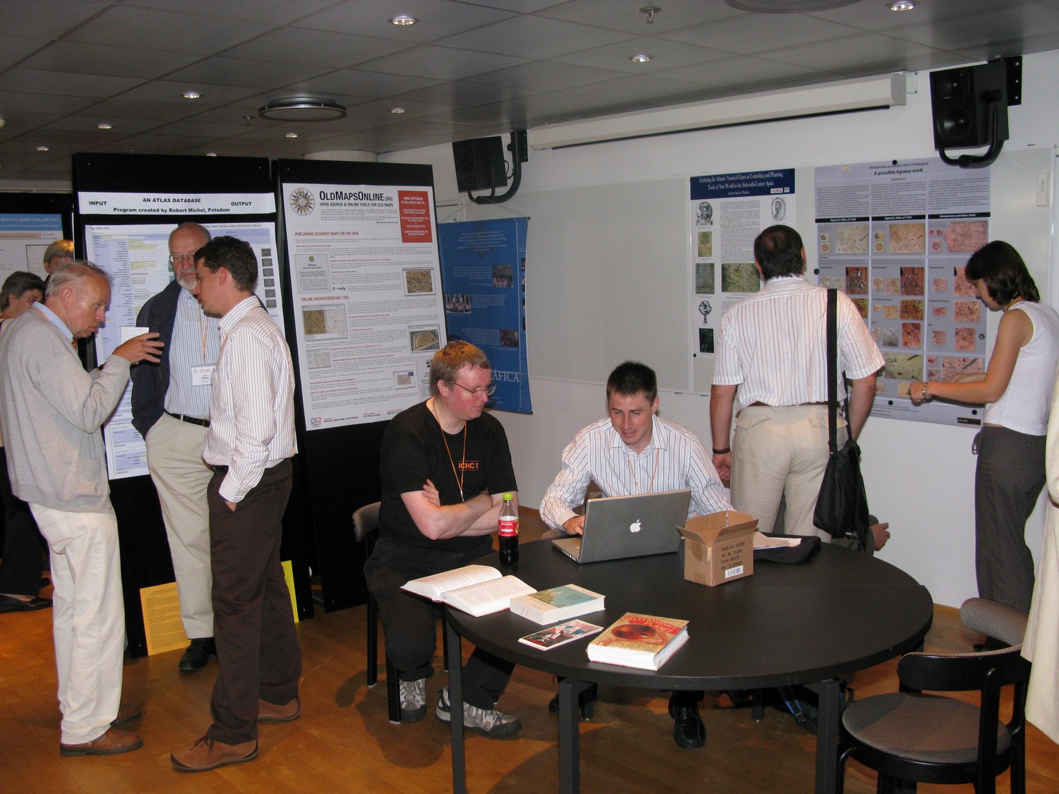
Poster Presentations
- Ananda Abeydeera (LK). Mapping an island of paradoxes: a realistic depiction of Taprobanê in Antiquity becomes a mythical representation in the Christian Middle Ages.
- Anna Anisimova (RU). Visualizing towns: the depiction of towns on medieval and early modern English maps.
- Claudio Aporta (CA). Inuit hunters and a geography based on memory.
- Cesar Avila (CO). Imaginary cartography in Hulsius’ Guiana (not present).
- Zsombor Bartos-Elekes and Zsombor Nemerkényi (RO & HU). Regions at the end of the world: selections from a rediscovered map collection..
- Alan Boraas (US). Cognitive cartography and the moral landscape of the Dena’ina Athabascans of Alaska, U.S.A.
- Sofiane Bouhdiba (TN). The History of the Iconographic Tradition in the Arab Cartography (not present).
- Wouter Bracke (BE). The expeditions of Adrien de Gerlache to Antarctica and northern waters: a presentation of his maps.
- Kris Butler (US). The lines of the law: shifting legal boundaries of backfilled coastlines in the United States.
- George Carhart (US). Frederick de Wit and the invention of the ‘modern reference atlas’.
- Pilar Chias (ES). Plans and sketches in civil disputes: sources for the study of the historical evolution of the territory and landscape of Castile from the archives of the Real Chancillería de Valladolid (Royal Chancellery of Valladolid), 1371-1834.
- Nuna Costa (PT). Cartography and Colonial Propaganda in Portugal (1918-1945) (not present).
- Sofia Coutinho (PT). Images of Portugal in the XVIII century.
- Claus Dam (DK). A presentation of the Danish National Network for Digital Historical Cartography.
- Sebastian Diaz Angel (CO). Razon Cartografica, a Colombian network for the history of geography and history of cartography: a project promoting Iberoamerican scholarship..
- Sebastian Diaz Angel (CO), Utis Possidetis and rubber boom in the cartographic clash over the Andean-Amazonian basin: contested imaginary Amazonian borders between Brazil, Bolivia, Colombia, Ecuador, and Peru in the second half of the 19th century..
- Marco van Egmond (NL). The Dutch publishing house of Covens & Mortier (1685-1866): results of a decade of research.
- Jürgen Espenhorst (DE). Considerations with regard to the bibliographical listing of world atlases of German provenance 1800-1955.
- Spyridon Gkounis (GR). The northernmost edges of the world: northern Europe on medieval mappaemundi.
- Lucile Haguet (FR). The French geographer Jean Baptiste d’Anville’s archives (1697-1782): armchair mapping in different production contexts..
- Koji Hasegawa (JP). Mapping the mythical Far East, Japan.
- Abel Hegedus (HU). Cartographic activity of the top spy Sándor Radó (Dóra) (not present).
- Thomas Horst (DE). A forensic study of a legal map of the area around the Zugspitze, Germany’s highest mountain.
- Krisztina Irás (HU). An anonymous portolan chart in Hungary: a possible work by Agnese.
- Linda Johnson. The Kohklux Map.
- Robert Karrow (US). The cartographic career of Frank Debenham.
- Nikolay Komedchikov (RU). West-European, Russian, and Japanese maps of the Kuril Islands up to the 19th century: a comparative analysis.
- Mikael Lagerborg (NO). The whaling industry and the first centuries of the mapping of Svalbard.
- Imants Lavins (LV). The depiction of Eastern Europe and trade routes in the maps of the al-Balkhi School.
- Elri Liebenberg (ZA). The names of Indigenous Tribes on 10th-CenturyMaps of Southern Africa – Facts or Fiction? (not present).
- Jorge Macle (CU). The french connection that went beyond the borders of Cuban 18th century Cartography (not present).
- Sjoerd de Meer (NL). Mercator’s North Pole: ideas about the North Pole in the sixteenth century..
- Peter H. Meurer (DE). Caspar Vopelius (1511-1561): an edition of his collected works.
- Florian Mittenhuber (CH). Supplementary volume to the Greek/German edition of Ptolemy’s Geography.
- Luís Miguel Moreira (PT). From geographical description to the road map: the ‘Carte Militaire des Principales Routes du Portugal’ (1808).
- Joachim Neumann (DE). A survey of the efforts made during the last 100 years to list atlases bibliographically.
- Gilsun Oh (KR). Reproduction of Yu Di Tu (a map of East Asia, 1603-1626) using computer-based software.
- Edwin Okhuizen (NL). Old maps and the discovery of Spitzbergen (not in book of abstracts).
- Petr Pridal (CZ). OldMapsOnline.org: on-line georeference tool for scanned old maps.
- Antonio Sánchez Martínez (ES). Enclosing the Atlantic..
- Patricia Seed (US). Medieval Catalan coastal cartography of Denmark.
- Rostyslav Sossa (UA). First complex atlas of Ukraine: ‘Atlas of Ukraine and Adjoining Countries’, 1937..
- Maria Luisa Sturani (IT). Topographical mapping in the Sabaudian states during the 18th century: words inside and outside the map.
- Lucyna Szaniawska (PL), Paola Pressenda, and Paola Sereno. Comparing the world map presentations in the Renaissance epoch: mappae mundi-Ptolemy’s world map-double hemisphere world map.

Reports
Imago Mundi 62,1 (2009), 98-104 (Alfred Hiatt and Carla Lois)